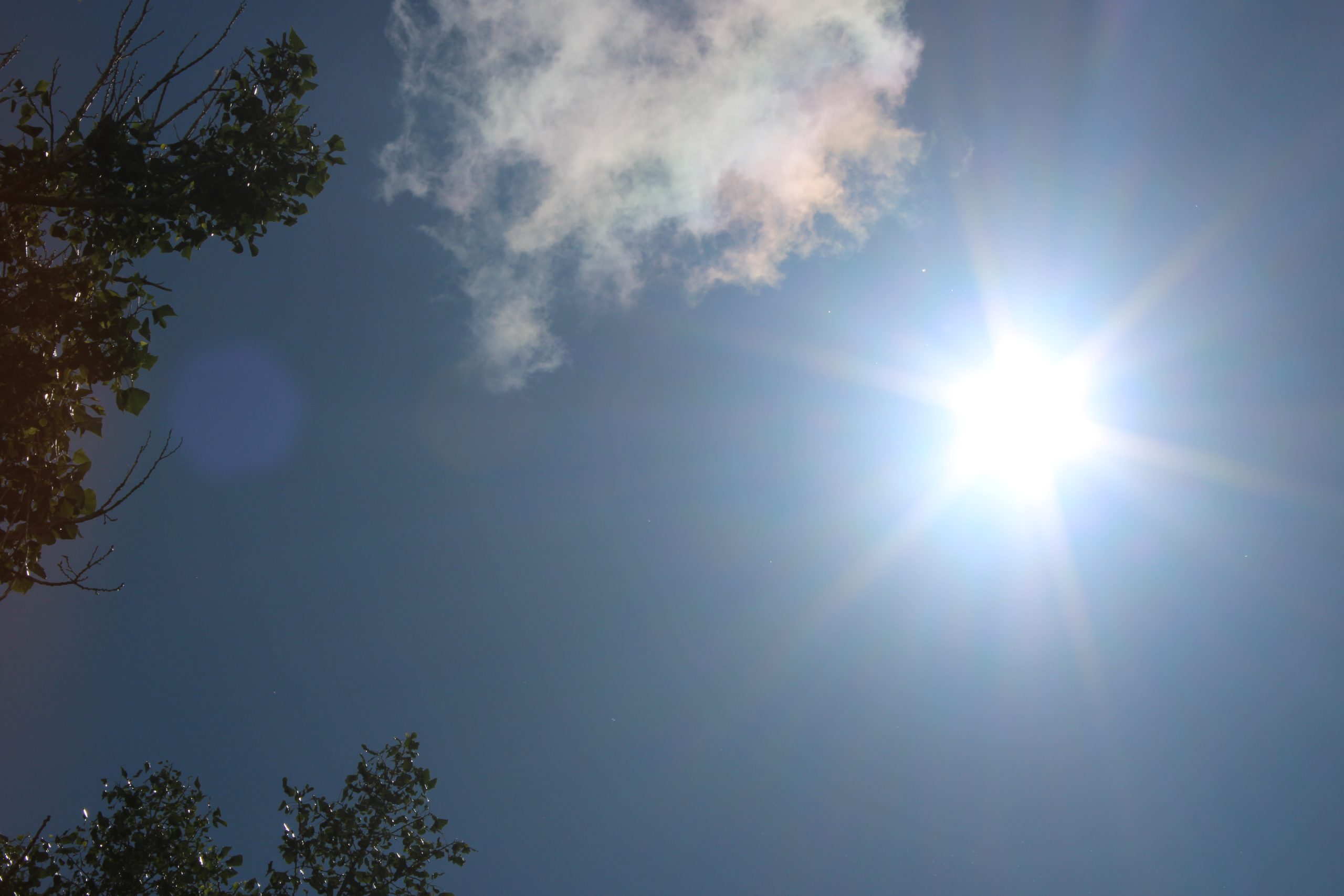
CASPER, Wyo. — Casper and Natrona County are set for a warm, mostly sunny day with temperatures in the upper 70s to low 80s, but gusty winds will elevate fire danger this afternoon.
Temperatures are expected to reach the upper 70s to low 80s, according to the National Weather Service. Winds from the southwest will blow at 13–20 mph, with gusts potentially reaching 28 mph. The wind will shift to the north-northwest this afternoon.
Fire weather conditions are near elevated across southern Wyoming this afternoon. Relative humidity values will drop to between 15% and 20%, combined with gusts up to 30 mph.
Tonight, increasing clouds will move in with a low around 50 degrees. Winds will be from the north-northwest at 5 to 10 mph, becoming easterly in the evening.
Sunday will see mostly cloudy skies gradually becoming sunny, with a high near 71 degrees. East winds at 6 to 14 mph will shift to the north-northwest in the afternoon, with gusts up to 20 mph possible. Sunday night will be mostly clear with a low around 44 degrees.
Temperatures will climb significantly through the first half of next week. Monday is forecast to be sunny with a high near 79 degrees. By Tuesday, the high could reach 88 degrees under sunny skies.
The chance of showers and thunderstorms returns to the forecast starting Tuesday evening and continuing through the end of the work week. While there is a 30% chance of showers and thunderstorms after noon on Wednesday, and again before midnight, details regarding precipitation chances later in the week remain uncertain.
Thursday and Friday also carry a chance of showers and thunderstorms with highs in the low to mid-80s.
Detailed Forecast
- Today: Sunny, with a high near 79. Breezy, with a southwest wind 13–20 mph becoming north northwest in the afternoon. Winds could gust as high as 28 mph.
- Tonight: Increasing clouds, with a low around 50. North northwest wind 5–10 mph becoming east in the evening.
- Sunday: Mostly cloudy, then gradually becoming sunny, with a high near 71. East wind 6–14 mph becoming north northwest in the afternoon. Winds could gust as high as 20 mph.
- Sunday Night: Mostly clear, with a low around 44. North northwest wind 9–14 mph becoming light and variable in the evening. Winds could gust as high as 22 mph.
- Monday: Sunny, with a high near 79. Light and variable wind becoming north northwest 5–8 mph in the morning.
- Monday Night: Mostly clear, with a low around 50. North wind 5–7 mph becoming south after midnight.
- Tuesday: Sunny, with a high near 88. South southwest wind 5–7 mph becoming northeast in the afternoon.
- Tuesday Night: Partly cloudy, with a low around 55.
- Wednesday: A 30% chance of showers and thunderstorms after noon. Mostly sunny, with a high near 88.
- Wednesday Night: A 30% chance of showers and thunderstorms before midnight. Mostly cloudy, with a low around 55.
- Thursday: A chance of showers and thunderstorms. Sunny, with a high near 82.
- Thursday Night: A slight chance of showers and thunderstorms. Partly cloudy, with a low around 54.
- Friday: A chance of showers and thunderstorms. Sunny, with a high near 85.
More on the weather is available at the National Weather Service website.
NOTE: AI tools assisted in the publication of this report.