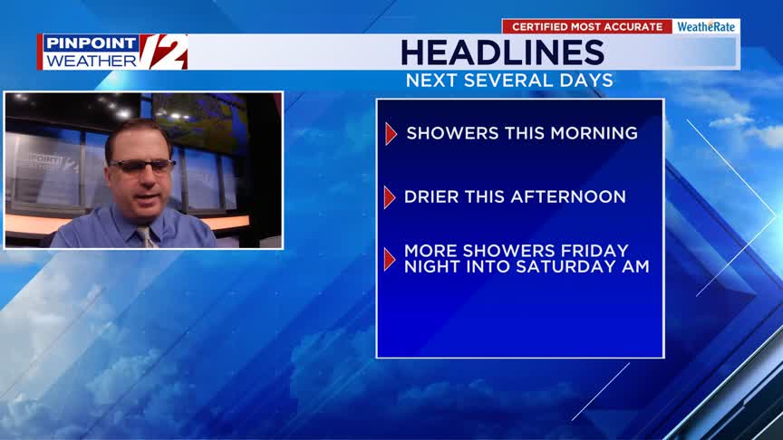
Good morning! Happy Thursday…aka Friday Eve. We’ll have numerous rain showers around this morning, but we’ll trend drier in the afternoon. We are looking at one more batch of rain before the month comes to an end…that’s late Friday night into Saturday.
This May is now the 4th wettest May on record for the Providence area. With additional rain in the forecast in these last three days of the month, we’ll easily move into 3rd place and possibly make it the 2nd wettest May on record.
INTERACTIVE RADAR: Live Pinpoint Weather 12 Radar »
| | FLIGHT TRACKER
TODAY
It’ll be a lot cooler today with temperatures only topping out in the low 60s this afternoon.
Hour by Hour // A close look at the upcoming conditions »
An area of low pressure off the New Jersey coast this morning will be passing right over Southeast New England later today. Out ahead of that low, we’ll see numerous showers, mainly during the morning.
A lingering shower or two is possible in the afternoon, but the afternoon will trend drier with a little sun possible by late afternoon/early evening.
With lots of clouds and a southeast to northeast wind, it’ll be tough to warm up much today. Afternoon highs will be in the low 60s.
| | BEACH AND BOATING FORECASTS
TONIGHT
Partly to mostly cloudy skies tonight with lows in the 50s.
TOMORROW
We may have a little fog early Friday, then we’ll get a mix of sun and clouds. We could have an additional shower through the day, but most of Friday will be dry.
Temperatures will be a little more seasonable with highs in the upper 60s to lower 70s.
LOOKING AHEAD
More rain is expected late Friday night into Saturday. We’ll be tracking another area of low pressure during this time frame. Ahead of this low, we’ll see rain become widespread and possibly heavy at times into Saturday morning.
Expect rain for Saturday morning, perhaps a rumble of thunder.
We may see a little sun in the afternoon, but some additinoal showers are possible late in the afternoon and evening.
Highs Saturday will be around 70. Sunday will be drier and a little breezy.
-Meteorologist T.J. Del Santo
T.J. Del Santo (tdelsanto@wpri.com) is the weekday morning and noon meteorologist for 12 News. Connect with him on Facebook and Twitter and Instagram and Threads and BlueSky.
______________________________________________________________________________________________________
Pinpoint Weather 12 Links
Detailed 7-Day Forecast | Weather Now | Radar | Hour-by-Hour | Ocean, Bay & Beach | Pinpoint Traffic | Flight Tracker | Active Weather Alerts | Closings & Delays | Power Outages | Get the Weather App