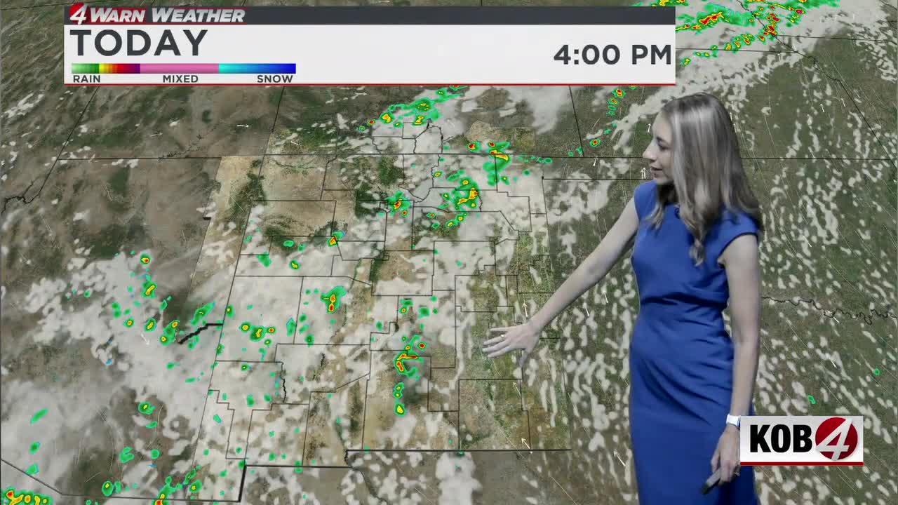
We’re still seeing above average temperatures and some rain and storms. See the latest at KOB.com/Weather.
ALBUQUERQUE, N.M. — We’ll quickly climb up the thermometer throughout the day, with forecast highs in the 80s and 90s.
Albuquerque metro highs Tuesday are likely to be similar to Monday and Sunday’s observed high. Records will be challenged, including a record of 94 degrees set in 1979 and 1959.
Showers and storms will once again fire off along the high terrain, starting around late morning/early afternoon. Storm motion is expected to be much slower as the upper-level high pressure moves further off to the east, relaxing winds aloft. This, plus heavy rainfall in spots, may lead to more of a risk of flooding issues.
A (Flash) Flood Watch has been issued from 11 a.m. to 6 p.m. for the Ruidoso area.
The upper-level high will split off into two areas where the center will sit. This will bump high temps in western areas by another couple of degrees compared to today’s forecast highs. Between Wednesday and Friday, we’re likely to top back off in the mid 90s in the metro. Each day is set to challenge the individual record highs for that day.
Meteorologist Amanda Goluszka shares all the details in her full forecast in the video above.
MORE:
- For Related Stories: Weather Forecasts Amanda Goluszka