ALBUQUERQUE, N.M. – New Mexico will stay dry for most areas Wednesday, but west to northwest wind gusts around 30 to 35 mph will become common.
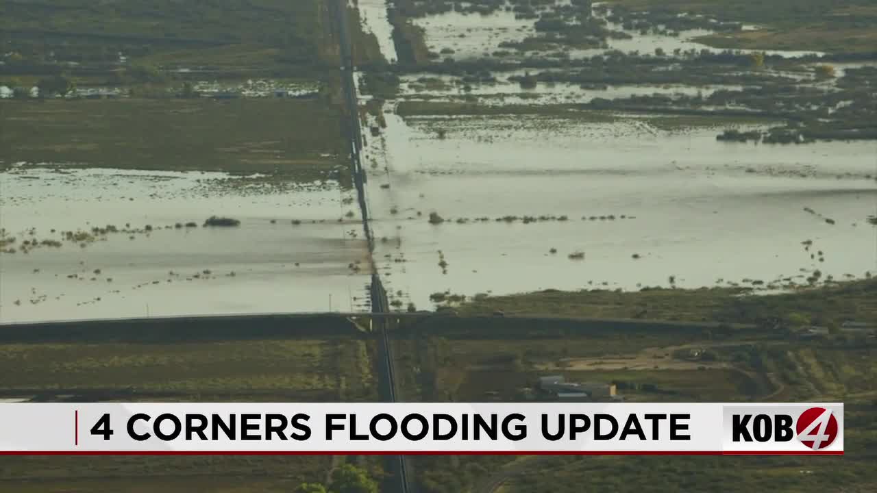
High clouds will continue moving across the state Tuesday night. Some clearing is expected across northern New Mexico, and that could allow patchy fog to develop in a few valleys where the ground is still saturated from recent rain and snow.
The chance for fog is low, but areas with standing water or very wet soils will have the best opportunity. Better chances favor sheltered valleys in northwestern New Mexico, north-central New Mexico and the upper Rio Grande Valley.
Any fog should stay patchy rather than widespread. By Wednesday morning, high clouds will begin clearing from northwest to southeast, and most of New Mexico will turn partly to mostly sunny.
What changes Wednesday?
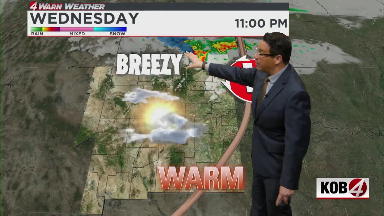
A Pacific storm system will move across Colorado on Wednesday, and most of its moisture will remain north of New Mexico. The southern edge of that system will bring stronger west to northwest winds into the state.
Winds of 15 to 25 mph will become common, with gusts around 30 to 35 mph possible in many locations. The stronger winds will favor the central mountain chain, the northern mountains, the northeastern highlands and the Continental Divide.
Despite the breezier weather, temperatures will stay comfortable for early November. Most lower-elevation communities will reach the 50s and 60s under partly to mostly sunny skies.
Northern mountain snow chances
A few light showers may begin developing late Wednesday near the Colorado border. Better chances include Chama, Red River, Taos Ski Valley, the northern Sangre de Cristo Mountains and the Tusas Mountains.
Snow levels will hover around 9,500 feet, so most lower-elevation communities will see little or no snow. The higher peaks could pick up some light accumulation.
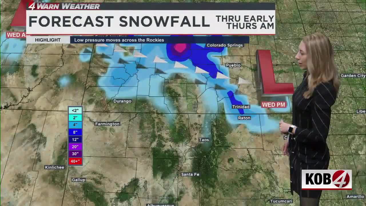
Wednesday night, a cold front will push south into northeastern New Mexico and help focus a brief period of snow around the Raton Ridge. The main area to watch includes Raton, Raton Pass, Capulin, the Interstate 25 corridor near the Colorado border and parts of U.S. 64.
Raton Pass could pick up one to two inches of snow Wednesday night into early Thursday, with locally two to three inches possible.
- For Related Stories: Eddie Garcia Weather Forecasts