Temperatures continue to heat up across New Mexico through this weekend. Isolated storm chances continue with widespread rain moving in by next Monday.
Showers and storms again developed Wednesday afternoon in northern, northeastern, and eastern parts of New Mexico, along with the Sacramento Mountains. A couple of these storms turned severe in northeastern parts of the state. Temperatures were hotter today where drier conditions were in place. Storms have ended now tonight. An east canyon wind will again bring in higher humidity into the Rio Grande Valley by Thursday morning.
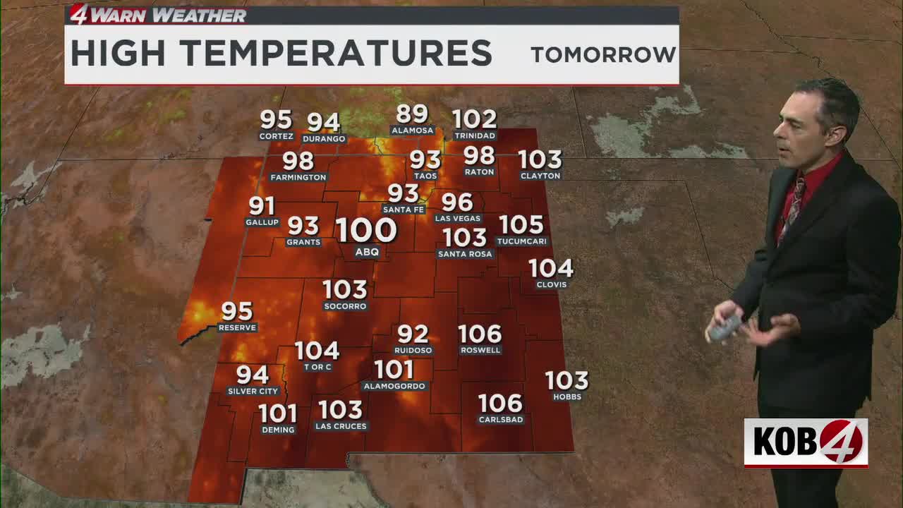
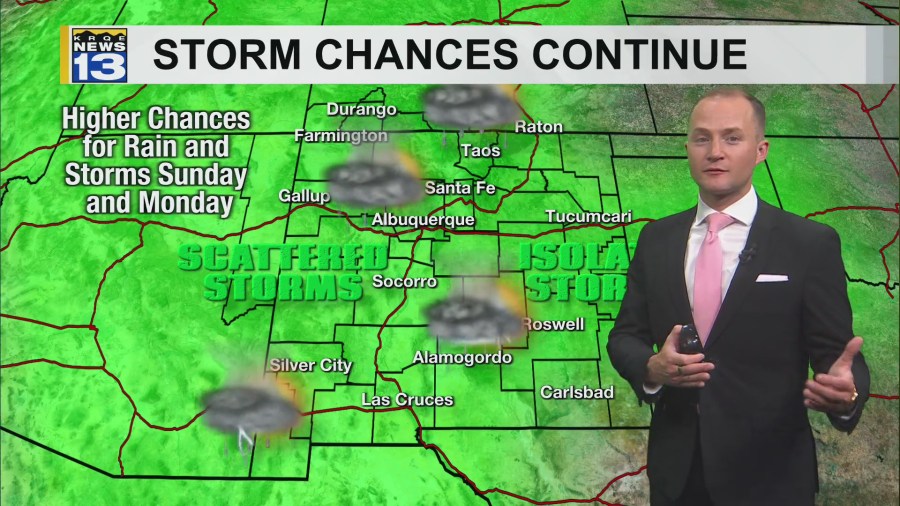
Isolated rain and thunderstorm chances continue in parts of New Mexico through this weekend. The highest chances for rain will be across the central mountain chain and in eastern New Mexico. Although a few storms will also be possible in some of the western mountain and surrounding areas. Temperatures across New Mexico will also continue to heat up through Friday, when high temperatures will be well-above average statewide. The heat will stick around for most of the state through Sunday.
A storm system will be approaching New Mexico from the west Sunday, drawing up moisture from the south as well. This will bring an increase in rain chances in southern New Mexico Sunday afternoon. But the storm will move into New Mexico Monday, bringing widespread showers and thunderstorms. Rain will start in western New Mexico Monday morning, becoming widespread across the state Monday afternoon. Temperatures will be cooler as this storm moves in and winds will pick up.
Dry air quickly returns Tuesday as temperatures warm back up to around average again. Breezy winds will stick around early next week as well.