INDIANAPOLIS (WISH) — If you’re waking up early this Tuesday morning, you might hear a few rumbles of thunder across northeastern portions of central Indiana. But hang tight—the unsettled weather won’t last long. A much-needed stretch of quiet, comfortable, and downright beautiful weather is about to settle in for the middle of the week.
Early Morning Storm Potential: Weak and Brief
A weather disturbance currently moving across the Great Lakes is pushing a weak cold front toward northern Indiana and Ohio this morning. While most of the energy associated with this system will stay well to our north, a few scattered clusters of storms could clip the northeastern corner of our viewing area early this morning.
Any storms that do make it into northeastern Indiana should fade quickly as they move through. By mid-morning—around 9 to 10 a.m.—the disturbance should be well east of our area, leaving us with partly cloudy skies for the rest of the day.
For most of central Indiana, this will be a non-event. Indianapolis, Lafayette, Terre Haute, Bloomington, and Kokomo should stay dry this morning with just partly cloudy skies and a little bit of patchy fog.
A Beautiful Midweek Break: Three Days of Pleasant Weather
Once this morning’s disturbance clears out, central Indiana will settle into a very comfortable and stable weather pattern. High pressure will build in from the west, creating ideal conditions for the middle part of the week.
From Tuesday through Thursday, we’re expecting rain-free conditions with seasonal temperatures and manageable humidity.
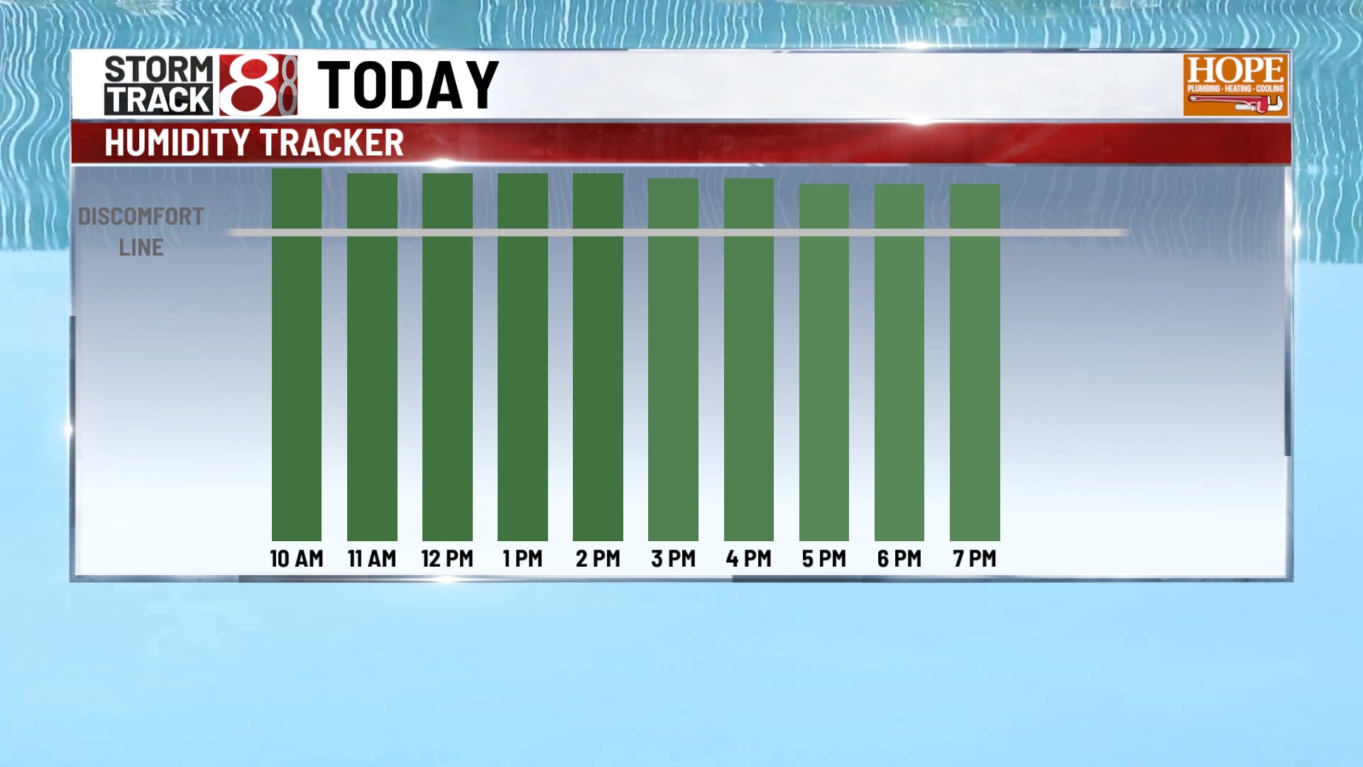
Highs in the low to mid-80s are right where we should be for late July. More importantly, dew points in the low to mid-60s will make for pleasant afternoons and comfortable evenings through the middle of the workweek.
With dew points in the 60-63°F range this week, we’re squarely in the “comfortable” zone. You’ll still have a little humidity—this is Indiana in July, after all—but it won’t be oppressive. Evenings will cool down nicely into the low 60s.
Weekend Changes Ahead: Moisture Returns
The quiet weather pattern begins to shift Friday as moisture starts streaming back into the region from the Gulf. A weak cold front will approach from the northwest later Friday, and the combination of returning moisture and the frontal boundary could provide enough lift to spark scattered thunderstorms Friday evening.
Any storms Friday should be scattered in nature and relatively brief. The main threats would be lightning, brief heavy rain, and gusty winds.
Weekend Storm Potential
By Saturday, a more significant area of low pressure is expected to develop over the area. This system will likely bring more widespread rain showers and thunderstorms to central Indiana on both Saturday and Sunday.
Low-pressure system will move east by Sunday night or early Monday, allowing drier air to filter back into central Indiana for the start of next week.