The Bottom Line
A significant and complicated storm system will impact New Jersey over the next 48 to 72 hours. Rainfall totals are forecast to range from a half-inch to upward of 4 inches, more than enough for flooding concerns. In addition, gusty winds and dangerous lightning are possible as storms ramp up too. Tuesday morning will be quiet, with partial sunshine and rising humidity. But by midday, we will be watching the western sky for a strong punch of soaking rain to affect the entire state through the afternoon and evening. Additional periods of rain are expected on Wednesday, mainly to the north and east, as this storm system strengthens and develops further over the warm Atlantic Ocean. A Flood Watch has been issued for most of New Jersey during this time, as roadways and low-lying areas could become inundated with water. By Thursday, we will be left with residual clouds and spotty showers. Pleasant, seasonable weather should return for Friday and Saturday.
Weather Hazards
There are some alarm bells to ring for Tuesday, Tuesday night, and Wednesday.
The number one concern is flooding. Northern and central New Jersey especially could see multiple inches of rain between Tuesday and Wednesday. Rainfall rates may reach 1 to 2 inches per hour, enough to inundate storm drains, create poor visibility, reduce traction, and flood roadways and other low-lying areas.
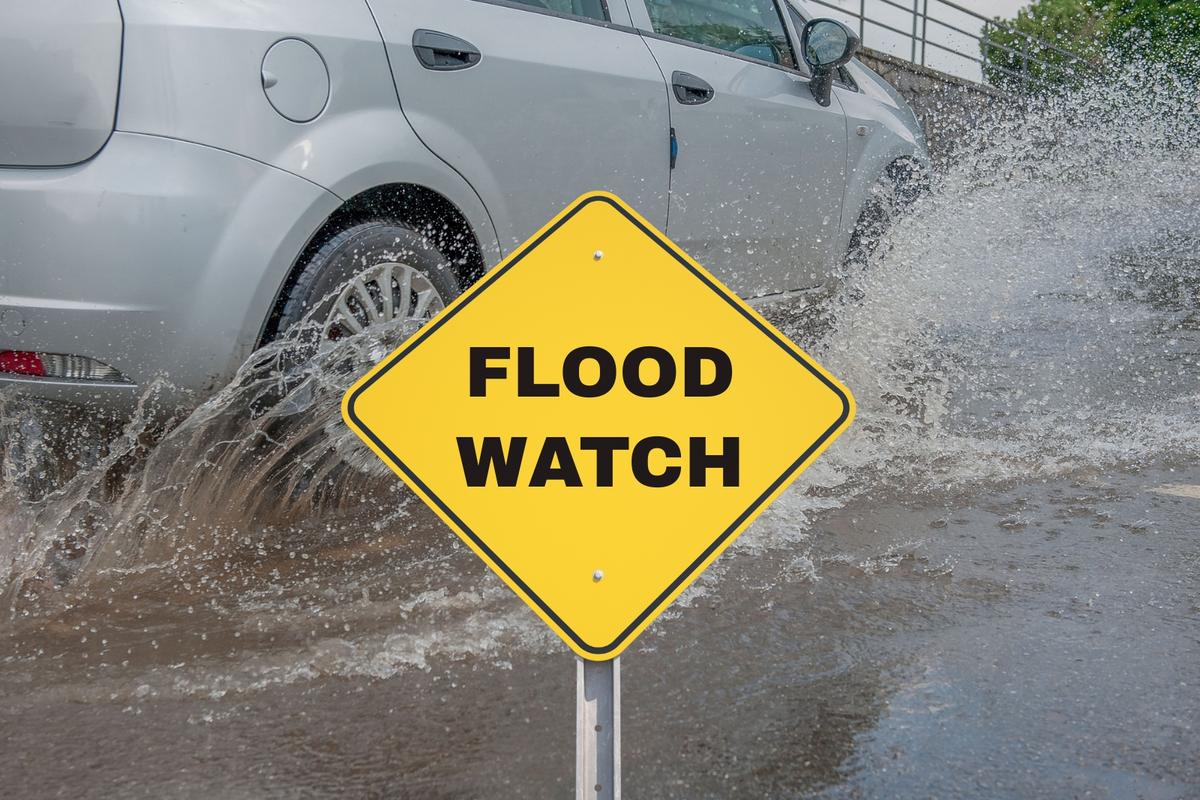
A Flood Watch covers 18 of New Jersey’s 21 counties (all but the far south) from 8 a.m. Tuesday through 2 p.m. Wednesday. The description is in the name — we need to “watch out” for flooding.
Severe weather is also possible, mainly in the form of gusty winds. That concern will be highest in the warmer and more humid environment of South Jersey. For the record, these storms do not look especially conducive to hail or tornadoes.
Keep in mind also, every thunderstorm is potentially dangerous because of cloud-to-ground lightning.
Think carefully about your plans over the next 36 hours. Outdoor activities could be toast. And travel from Tuesday afternoon through Monday morning could be challenging. Never attempt to drive, walk, or swim through flooded areas — Turn Around, Don’t Drown.
Climatological Context
July 28 is the 209th day of 2026.
Normal high temperatures range from 86 to 87 degrees, while normal low temperatures range from 67 to 70 degrees.
July is, on average, New Jersey’s hottest and wettest month of the year.
Tuesday
Tuesday starts quiet, but it will not stay that way.
Morning temperatures are in the 60s to the north, and 70s to the south and along the coast. Radar has been quiet so far, and you should even see partial sunshine through the morning. But humidity is up since Monday. And fizzling thunderstorms moving in from Pennsylvania could be the impetus for some isolated showers by late morning.
By Tuesday afternoon, we will have to watch the western sky for scattered thunderstorms with heavy rain and gusty winds to creep into the Garden State.
The biggest concern: Rainfall rates may exceed 1 to 2 inches per hour in the heaviest storms. That is a lot of water. More than enough to to quickly cause ponding on roads, plus poor visibility and poor traction for those on the roads. Yes, New Jersey needs the rain. But this may be too much water falling from the sky all at once.
High temperatures will reach around 80 degrees. It will be breezy, warm, and humid. Not every minute will be stormy, but outdoor plans for Tuesday afternoon and Tuesday evening are probably in trouble.
Tuesday night stays unsettled, with thunderstorms continuing through at least the evening hours. Some tapering of rain is expected by around midnight, with lows in the upper 60s.
Wednesday
This storm system is both significant and complicated. And pretty amazing, in the way it will continue to strengthen and develop as it approaches the warm waters of the Atlantic Ocean.
Because of that, New Jersey will remain under its influence on Wednesday. Especially across the northern half of the state, give or take.
Periods of rain and stormy weather will pick up again during the daytime hours Wednesday. Once again, pockets of heavy rain, ponding, and flooding will be possible here. (I am less concerned about “severe weather” and gusty winds.)
The forecast will not be the same everywhere. North and east will have the best chance for ongoing rain. To the south and west, the forecast for Wednesday trends drier, and you may even catch some periods of sun.
High temperatures across the state will reach 75 to 80 degrees.
Thursday
Thursday will be better. Still unsettled. Still damp and dreary. But no alarm bells.
Expect lots of clouds and spotty showers. High temperatures will cool off further, into the mid 70s. It will remain pretty humid and sticky, so I doubt it will feel all that “cool”.
It will not be a pretty day, and it might feel “soggy” at times. But compared to Tuesday’s heavy thunderstorms and Wednesday’s continuing rain, Thursday will be a step in the right direction.
There is a chance for drier, brighter skies Thursday afternoon, again especially in South Jersey.
Friday & Beyond
Nicer weather returns on Friday. Just in time to close out the workweek and the month of July.
Expect a mix of sun and clouds Friday, with highs near 80 degrees. While I can’t rule out an isolated shower, it should be a pleasant, calm weather day with only “moderate” humidity levels.
The first weekend of August looks pretty good too. Saturday is probably the nicest day left this week. It looks quiet and reasonably comfortable, with mostly sunny skies and highs in the 80s. I see no weather headaches, meaning your outdoor plans are looking good..
Most of Sunday should be OK. But our next storm system setup could drive in some late-day showers. That is something we will key into when it gets a bit closer.
NJ WEATHER CENTER: Check the 5 Day Forecast
15 common sense flood preparation tips
Gallery Credit: Dan Zarrow
Dan Zarrow is Chief Meteorologist for Townsquare Media New Jersey. Follow him on Facebook for the latest forecast and realtime weather updates.
BEEP BEEP BEEP: These are the 13 types of Wireless Emergency Alerts auto-pushed to your phone
The Wireless Emergency Alerts (WEA) system allows government officials to immediately and automatically push messages to all cell phones and mobile devices within a specific geographical area. There are a total of 13 types of messages that can currently be sent as a Wireless Emergency Alert. Nine of them are weather-related warnings, including one that is brand new as of August 2021.
Gallery Credit: Dan Zarrow