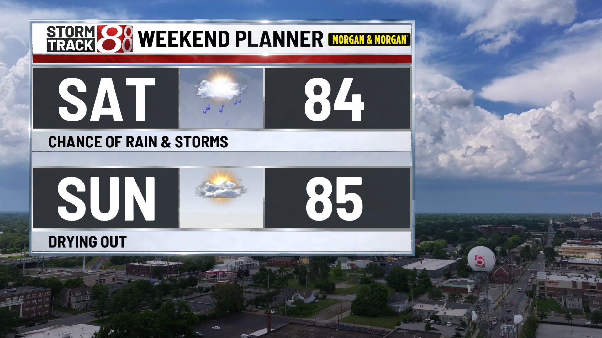
INDIANAPOLIS (WISH) — The chance of rain & storms will continue into Saturday. Drier and warmer weather builds in for a few days next week.
FRIDAY EVENING/NIGHT:
More scattered rain & storms are possible. While there could be a locally strong/gusty storm around, any storm could produce heavy rain, flooding, and dangerous lightning. Muggy conditions linger during the night with lows around 70.
SATURDAY:
We have a chance for additional scattered showers and storms, but the day isn’t looking like it’ll be a washout. Just keep in mind there could be some rain around your location at some point. Muggy highs in the mid 80s are likely once again. Any storm could produce heavy rain that could lead to localized flooding.
SATURDAY NIGHT:
The chance of rain diminishes. Lows should fall into the upper 60s.
SUNDAY:
Drier air starts to flow back into Central Indiana on the heels of northeasterly breezes. Highs look to be back into the mid 80s. There is a small chance of a few showers/storms across far Southern Indiana during the day.
NEXT WEEK:
Another “heat dome” is going to develop across the Midwest and Northern Plains. For us here in Indiana, it looks like we’ll be on the eastern fringe of the extreme heat. Temperatures are expected to warm back into the low 90s for a few days while overnight lows warm into the 70s. The extreme heat seems like it is going to remain to our west, at least for now. The chance of rain & storms now looks like it’ll creep back into the region by the middle to the end of the week.