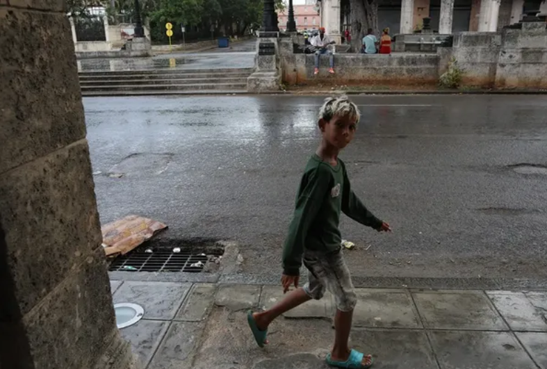
Havana photo by Juan Suarez
Afternoon rains typical of the peak of the rainy season continue…
By Adrian Fuentes
HAVANA TIMES – Atmospheric conditions over western Cuba remain under the convective pattern typical of this time of year, which coincides with the rainiest period in the capital. Daytime heating and sufficient moisture in the lower layers of the atmosphere will continue to produce showers and thunderstorms during the afternoon in Havana throughout the week.
Thursday the 24th and Friday the 25th will see afternoon showers and thunderstorms. Saturday the 26th and Sunday the 27th will bring somewhat heavier rain and thunderstorms, some locally intense. The usual convective pattern will continue on Monday the 28th and Tuesday the 29th, while scattered showers are forecast for Wednesday the 30th, mainly in coastal and inland areas of Havana.
Winds will be predominantly from the east and northeast, at speeds of between 10 and 30 kilometers per hour, with occasional gusts of up to 40 km/h during convective episodes. Relative humidity will remain high, between 65% and 95%. High temperatures will range between 30 and 32ºC (86 and 90 F), while lows between 24 and 25ºC (75 and 77 F). Sea surface temperatures will remain at 29ºC (84 F).
In the Atlantic, post-tropical cyclone Fay remains active southwest of the Azores, with no influence on Cuba. An emerging tropical wave is also being observed off the coast of West Africa, with some potential for development but still very far from the Caribbean. No tropical cyclone development is expected in the Caribbean Sea or the Gulf of Mexico over the next seven days. The Cuban Meteorological Institute (INSMET) continues its routine monitoring during the hurricane season, which remains active through November 30.
Read more from Cuba here on Havana Times.