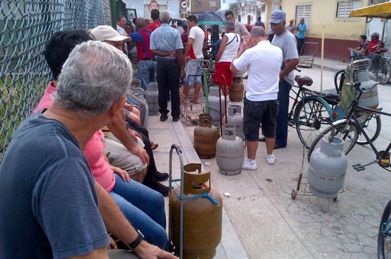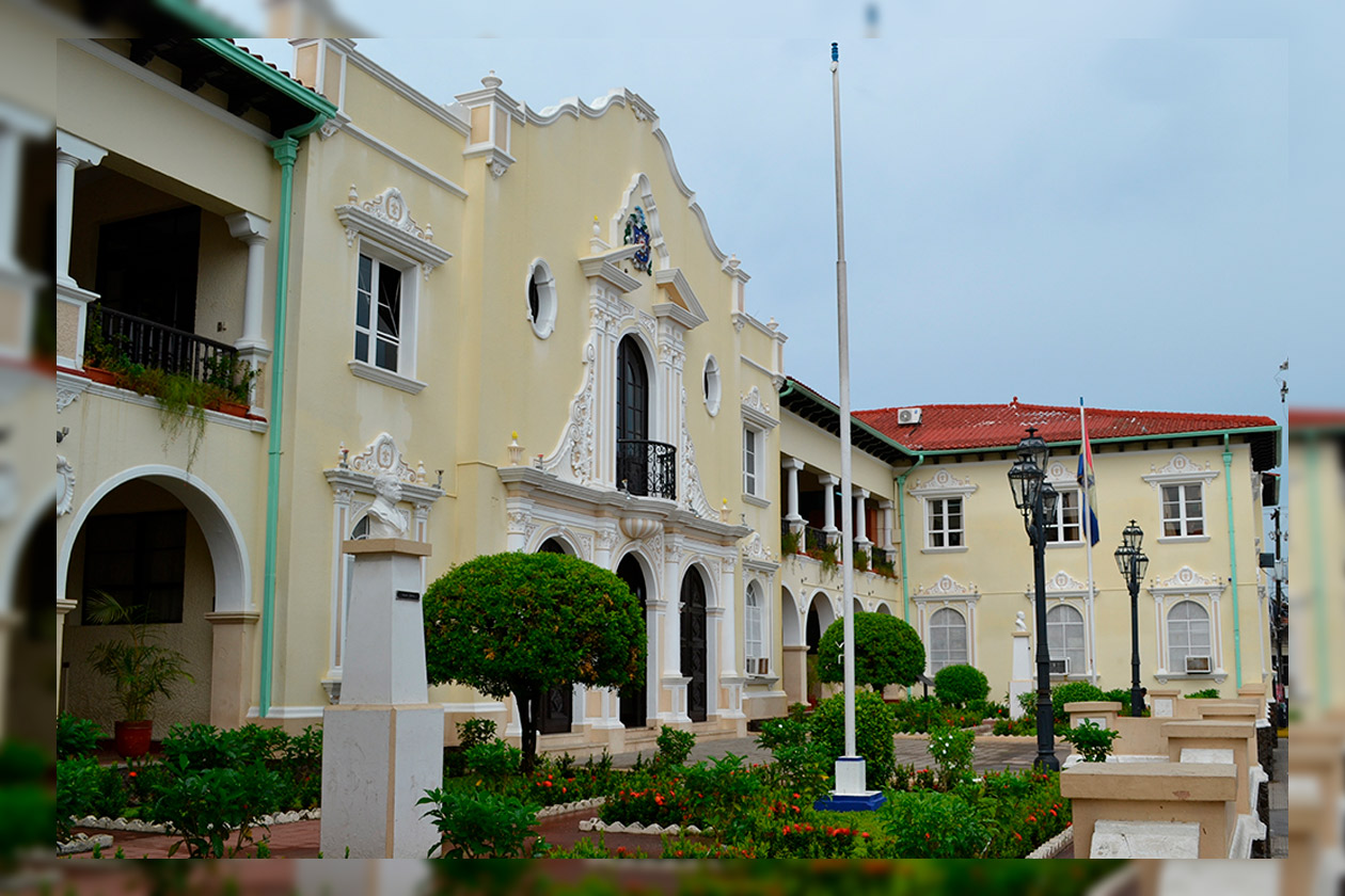
Havana photo by Juan Suarez
Tropical Storm Isaias Under Watch in the Gulf of Mexico…
By Adrian Fuentes
HAVANA TIMES – Atmospheric conditions over western Cuba remain under the typical convective pattern of early October, with high humidity and daytime heating favoring the formation of clouds and thunderstorms during the afternoon hours over the capital. Easterly and southeasterly winds continue to bring moisture into the area, with light to moderate winds prevailing.
Thursday, October 8, and Friday, October 9, will see afternoon showers and thunderstorms, with a greater likelihood of rain on Friday. Saturday, October 10, and Sunday, October 11, will bring scattered showers, with conditions gradually improving. On Monday, October 12, and Tuesday, October 13, the usual convective pattern will continue, while isolated showers are expected on Wednesday, October 14, mainly in coastal and inland areas of Havana.
Winds will blow predominantly from the east and southeast at speeds of 10 to 25 kilometers per hour, with occasional gusts of up to 35 km/h during thunderstorms. Relative humidity will remain high, between 65% and 95%. Highs will be 31 and 32°C (88 and 90°F), while lows at 24 and 25°C (75 and 77°F). Sea surface temperatures will remain at 29°C (84°F).
Tropical Storm Isaias remains active in the southwestern Gulf of Mexico, moving east-northeast. It is forecast to strengthen into a hurricane on Thursday and make landfall along the northern U.S. Gulf Coast sometime between Friday and Saturday. Cuba’s Institute of Meteorology (Insmet) stated that the system poses no threat to Cuba, as its projected path remains west and northwest of the island.
No other tropical cyclones are expected to form in the region over the next seven days. Insmet continues its routine monitoring during the hurricane season, which remains active through November 30.
Lee más desde Cuba aquí en Havana Times.