
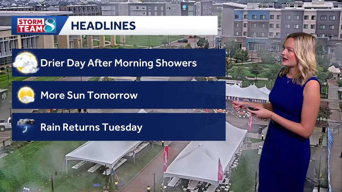
Iowa weather: Drier start to the week
DES MOINES, Iowa —
Clouds have been slow to clear across central and eastern Iowa today, but sunshine made an appearance across the southwest corner of the state boosting temperatures into the 70s. Clouds will continue to slowly clear for the start of the work week, bringing us a couple of drier days before storm chances return.
Interactive Radar | Weather Alerts | Skycams
Morning clouds and light rain showers lingered into the afternoon east of I-35, keeping temperatures in the low to mid-60s. West of I-35, and especially south of I-80, clouds did manage to clear bringing a little sunshine and some warmer weather to parts of the state. The clouds will continue to slowly thin this evening, but sunshine will be limited east of I-35. Temperatures will range from the mid-70s near Atlantic to the mid-60s near Grinnell and Oskaloosa.
The cloud cover will continue to slowly thin overnight, but that may lead to some patchy fog development by morning with lows in the upper 50s to around 60 degrees. Once the fog lifts Monday morning, partly sunny skies should return for most of the state with highs in the upper 60s to low 70s.
Our next storm system will push into the Midwest on Tuesday along with our next chance for rain. Ahead of that rain, some warmer air should return to central Iowa with highs int he mid-70s looking more likely. A cold front will bring storm chances Tuesday evening or overnight. Severe weather is not expected but some heavy rainfall is possible. The timing has slowed a bit, and the rain could arrive later Tuesday night or even Wednesday morning if that trend continues.
On and off showers are expected for Wednesday with some potential for pockets of heavy rainfall. Rainfall totals of an inch or two are possible. While not overly heavy, the already saturated ground across much of central Iowa will lead to a slightly increased risk for flash flooding or river flooding if that rain lingers too long in one location.
Showers should wind down Wednesday night and push out of the area Thursday morning with drier and more fall-like air expected for the rest of the week. Highs should be in the mid-60s with overnight lows in the 40s to low 50s from Thursday afternoon through the upcoming weekend.
Keep an eye on weather across Iowa with KCCI’s skycams
Weather watchers can keep an eye on conditions by checking our skycam page, which shows aerial views from more than 25 sites across the state.
Iowa weather forecast
Tonight: Clouds early, some clearing late. Patchy fog possible. Low 60F. Winds E at 5 to 10 mph.
Monday: Cloudy skies early, then partly cloudy in the afternoon. High 72F. Winds ESE at 5 to 10 mph.
Monday Night: Partly cloudy. Low 57F. Winds SE at 5 to 10 mph.
Tuesday: Partly cloudy in the morning, increasing clouds late. A chance of showers or storms by late evening or overnight. High 75F. Winds SSE at 10 to 20 mph.