Heavy rainfall potential returns next week
DES MOINES, Iowa —
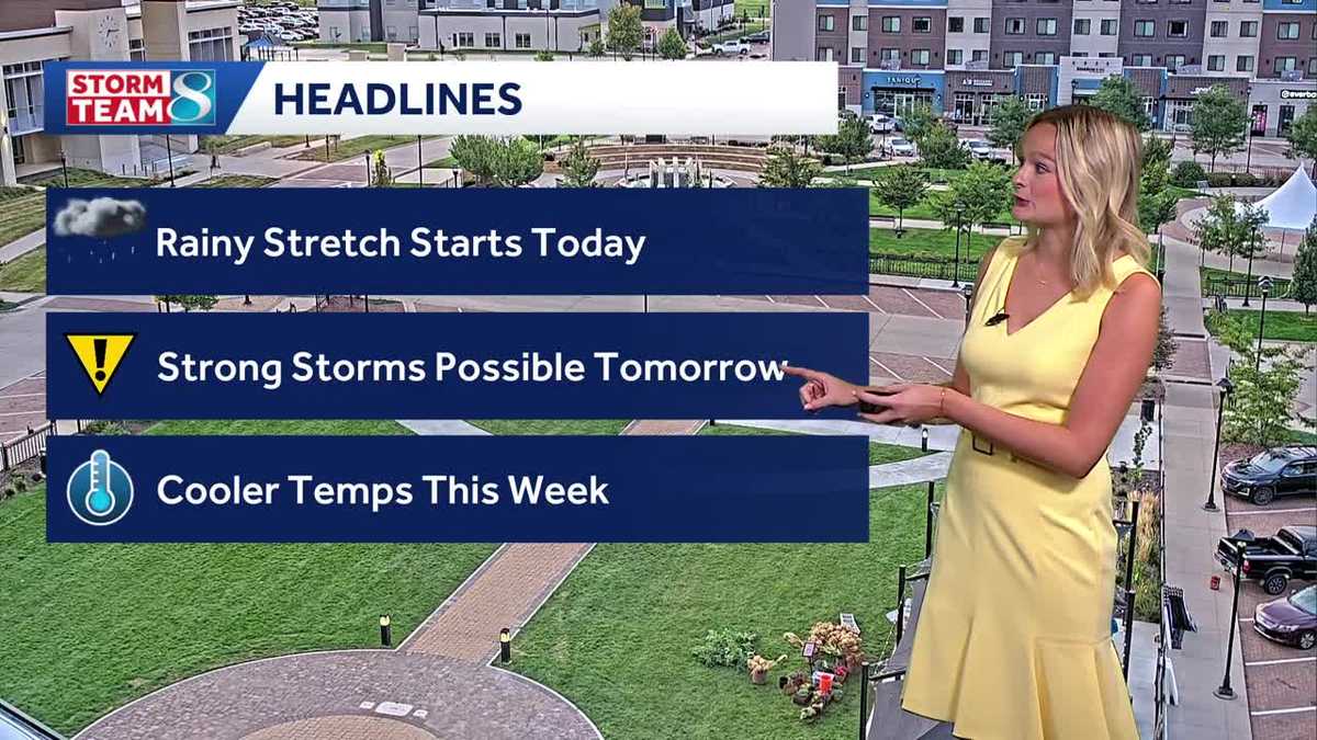
Today a more active weather pattern begins, with shower and storm chances continuing through much of this week.
Hearst Owned
Des Moines 8 Day Forecast
Early this morning showers and some isolated storms have developed across western Iowa and they will continue spreading into central and southern Iowa by mid-morning. Severe weather is not expected but some occasional downpours are possible. While widespread heavy rainfall is not likely, a few locations could pick up an inch of rain if multiple downpours move over the same area.
Sunday evening should dry out with a break in the rain until early Monday.
Before sunrise on Monday, a surge of warm and humid air will begin to push back into Iowa and will likely kick off a quick moving round of storms. Frequent lightning and brief heavy rain can be expected, but severe weather is not likely. The storms will not last long and should be pushing out of central Iowa by midday.
A cold front Monday evening will kick off more storms in northwest Iowa, then spread to central and southern late in the evening or overnight. A few stronger storms with gusty winds and hail are possible early in the evening, but that severe threat diminishes overnight with heavy rainfall becoming the main threat. There is slight (level 2 out of 5) risk for severe weather for much of western Iowa tomorrow.
Hearst Owned
Severe Weather Risk Tomorrow
The line of storms is expected to slow down over some portion of central or southern Iowa which will likely result in several inches of rainfall. Given the recent heavy rains, flash flooding or even some creek or river flooding may be possible if the rain lingers too long. It may take until Tuesday morning before the rain pushes out of southern Iowa.
Hearst Owned
Rainfall Potential Monday Night
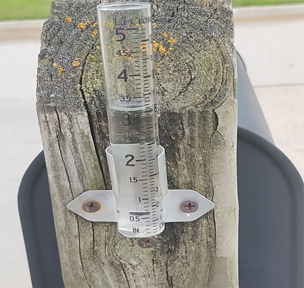
Most of Tuesday will bring another lull in the precipitation before more storms develop Tuesday night into Wednesday morning bringing another risk for heavy rainfall. It appears the pattern will continue to favor rain chances each night through Thursday night prolonging that heavy rainfall risk. If each round affects portions of central Iowa, rainfall totals in excess of 5 inches throughout the week appear possible. In some cases, well over 5 inches of rainfall.
Hearst Owned
Rainfall potential across Iowa next week
There are still some details to be worked out as each round of storms will have an impact on the location and timing of the next round that we will not be able to determine until the storms have actually formed. Be sure to stay updated on the forecast as this potential heavy rainfall event continues to evolve.