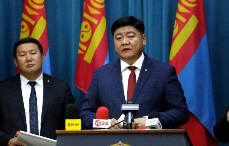
AKIPRESS.COM – Minister of Environment and Climate Change Sandag-Ochir Tsend presented the updated National Desertification Atlas of Mongolia at the Cabinet meeting on August 12, Montsae reported.
The updated atlas aims to support the government’s environmental protection and land degradation prevention policies, fulfill the country’s commitments under the United Nations Convention to Combat Desertification (UNCCD), and provide a scientifically based assessment of the current state of desertification and land degradation across Mongolia.
Mongolia has conducted national assessments of desertification in stages since the country’s first desertification map was developed in 1989. Based on data from 1991 to 2025, the updated atlas represents the sixth nationwide assessment of desertification and land degradation in Mongolia.
The assessment was developed using satellite data, remote sensing, geographic information systems (GIS), and spatial analysis.
A team of around 20 experts, led by the Information and Research Institute of Meteorology, Hydrology and Environment, and including representatives of the Mongolian Academy of Sciences and researchers and scientists from relevant sectors, began work on the assessment in March 2025.
A key improvement in the updated atlas is the inclusion of water scarcity and biodiversity degradation indicators. It also includes 12 newly developed thematic maps covering the impacts, monitoring, and verification of desertification.
The assessment shows that the impacts of climate change in Mongolia are intensifying, accompanied by increasing land degradation, water scarcity, changes in vegetation cover and growing pressure from pasture use.
According to the atlas, Mongolia’s annual average air temperature increased by 2.5°C between 1941 and 2025. An increasing trend in drought intensity was observed across 53.5% of the country’s territory. 54.8% of the territory is at risk of water erosion, while 34.3% is at risk of wind erosion.
A declining trend in soil moisture was observed across 93.3% of the country’s territory. Vegetation productivity declined across 22.3% of the country’s territory.
Overall, the assessment found that 81.9% of Mongolia’s territory is affected by desertification or land degradation to some degree. Of this area, 0.9% is classified as very severe, 6.2% as severe, 42.9% as moderate, and 31.9% as slight, while no degradation was detected across 18.1% of the territory.
Compared with the 2020 assessment, the area affected by desertification and land degradation has increased by 5 percentage points, while the area experiencing very severe and severe desertification has decreased by 16.2 percentage points.
The findings indicate that desertification and land degradation are being intensified not only by natural factors but by the combined effects of climate change and human activities.
The atlas will serve as one of Mongolia’s official documents to be presented during the 17th Conference of the Parties (COP17) to the UN Convention to Combat Desertification, which Mongolia will host on August 17–28, 2026.