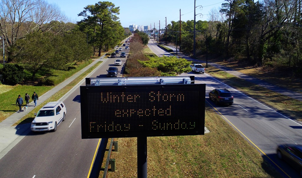
A winter storm warning has been issued for most of Hampton Roads as the region braces for a potentially significant snow storm and possible blizzard conditions this weekend.
The warning is in effect from 4 a.m. Saturday until 7 p.m. Sunday. for Norfolk, Portsmouth, Chesapeake, Virginia Beach, Suffolk, Newport News, Hampton and York County, as well as portions of northeastern North Carolina and areas to the west of Hampton Roads.
The region is expected to receive between 7-12 inches of snow Saturday and into Sunday, with higher amounts possible, the National Weather Service said.
Areas on the Peninsula are likely to receive less snow. The weather service said Thursday Williamsburg likely was expected to see 5 inches of the white stuff.
Blizzard conditions are likely to set in Saturday night and early Sunday morning for coastal areas extending from Elizabeth City, through Virginia Beach and Norfolk and up to the Eastern Shore.
“This will be a dry, powdery snow — much different situation than we dealt with last weekend,” weather service meteorologist Andrew Zimmerman said Thursday.
The weather service gives Norfolk a 93% chance of seeing at least 4 inches of snow by Sunday morning and about 70% for the Peninsula and Eastern Shore. The likelihood of snow increases farther south into northeastern North Carolina — Elizabeth City has a near-certain chance of seeing at least 4 inches of snow by Sunday morning.
The farthest southeastern parts of Virginia also have an above 50% chance of seeing at least 8 inches of snow, weather service data shows. Norfolk has a 19% chance of seeing a foot of snow, while Williamsburg and Cape Charles have a 12% and 15% chance, respectively.
The snow will coincide with blistering winds along the coasts, reaching maximum gusts of 59 mph Sunday morning in Virginia Beach and in Cape Charles. Farther inland, winds will be in the mid-40 mph range, dropping down to the mid-30 mph range in the Williamsburg and Franklin areas.
“Definitely prepare for strong wind gusts, especially right along the immediate coast,” Zimmerman said.
Snow accumulation totals projected by the National Weather Service on Thursday afternoon, Jan. 29, 2026. (National Weather Service)
Snow is likely to begin falling in Hampton Roads on Saturday, grow throughout the day and peak early Sunday morning, with snow continuing to fall through Sunday evening, according to the weather service.
Wind chills will be down to about zero degrees for much of Hampton Roads, getting into the negative farther west in Richmond and Emporia and farther south in Elizabeth City. With it being so cold, the snow is likely to linger “for a while,” Zimmerman said, adding that areas still dealing with ice from last weekend will have those impacts prolonged.
Tidal flooding could also have an impact Saturday night into Sunday, the briefing noted. Moderate to major local tidal flooding is possible in vulnerable coastal areas, as is beach and dune erosion. Because of the cold, any tidal flooding could freeze on road surfaces.
North Carolina Gov. Josh Stein issued a state of emergency Thursday ahead of the impending weather.
Gavin Stone, 757-712-4806, gavin.stone@virginiamedia.com
The percent chance of at least 12 inches of snow, from the National Weather Service on Thursday afternoon, Jan. 29, 2026. (National Weather Service)