More snow showers are ahead for Sunday.The next disturbance in the atmosphere dives into Iowa from the northwest before sunrise.Before it gets here, winds will lighten some overnight and shift to the southwest. Temperatures will fall into the single digits.A band of light snow looks to trek from northwest through central Iowa roughly between 5-9 a.m. Sunday. Accumulation will be under an inch.Temperatures will actually climb noticeably Sunday, pushing up around 30° in Des Moines. Twenties are likely to the north.Interactive Radar | Weather Alerts | SkycamsBy midday, a front will be sweeping through Iowa from west to east.Winds will crank up again once this front blows through. Gusts from the northwest are expected to reach 40-45 mph through Sunday afternoon.At the same time, the colder air sinking in behind the front will help form more snow showers. Like previous days, these pockets of snow will be widely scattered, won’t last long at any given location, and won’t lead to much on the ground. They will cause sporadic visibility problems, however.Because of blowing snow potential, northwest Iowa will be under a Winter Weather Advisory from 3 a.m. to 9 p.m. Sunday.Once the last snow showers leave Sunday night, the cold air and lingering breeze are our main focus into Monday.Wind chills early on MLK, Jr. Day will range from -15° in southern Iowa to -30° in northern Iowa. The Des Moines area will likely feel as cold as -20°. For this reason, the northern half of Iowa goes under a Cold Weather Advisory Sunday night through Monday morning.Skies will be partly to mostly sunny Monday, but wind gusts still around 25 mph will keep wind chills around 0° at warmest during the afternoon.After that, the cold eases up and we warm back to 30s next Tuesday, Wednesday, and Thursday.A few more quick batches of snow are possible late Monday night, then overnight Tuesday into Wednesday morning. Keep an eye on weather across Iowa with KCCI’s skycamsWeather watchers can keep an eye on conditions by checking our skycam page, which shows aerial views from more than 20 sites across the state.
DES MOINES, Iowa —
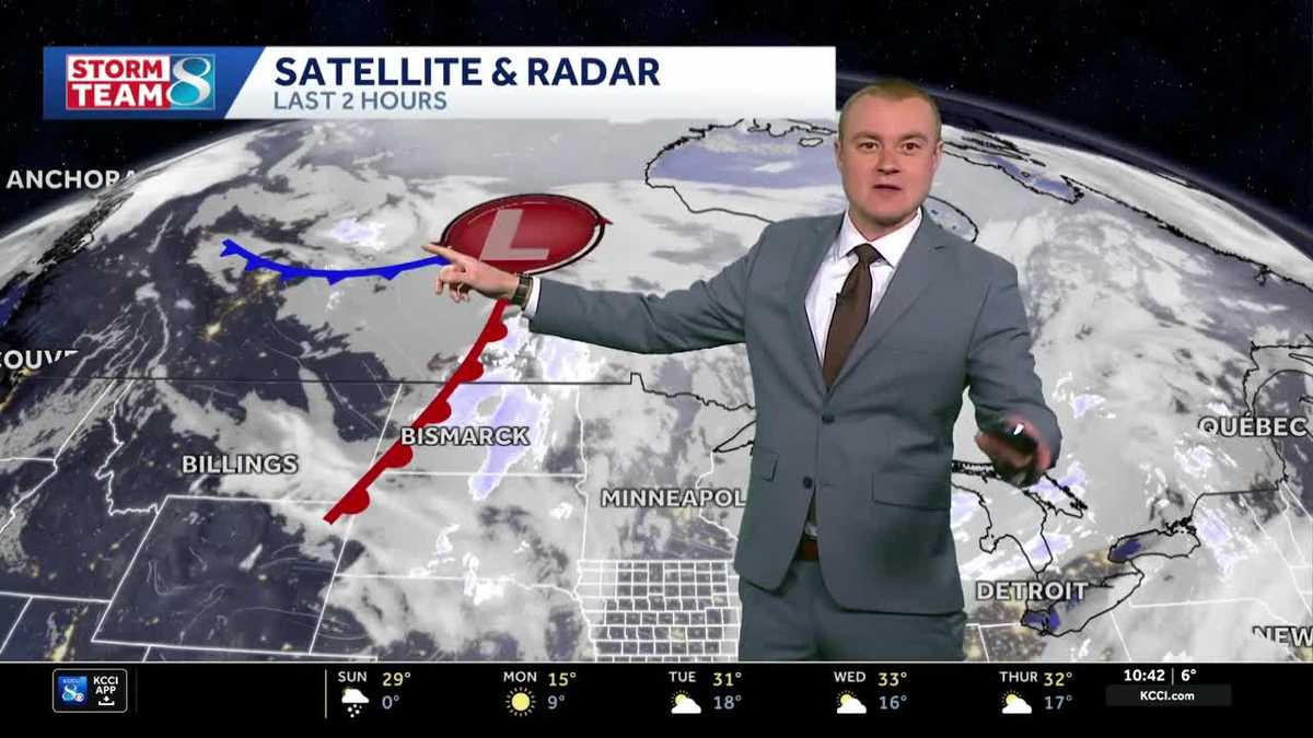
More snow showers are ahead for Sunday.
The next disturbance in the atmosphere dives into Iowa from the northwest before sunrise.
Before it gets here, winds will lighten some overnight and shift to the southwest. Temperatures will fall into the single digits.
A band of light snow looks to trek from northwest through central Iowa roughly between 5-9 a.m. Sunday. Accumulation will be under an inch.
Temperatures will actually climb noticeably Sunday, pushing up around 30° in Des Moines. Twenties are likely to the north.
Interactive Radar | Weather Alerts | Skycams
By midday, a front will be sweeping through Iowa from west to east.
Winds will crank up again once this front blows through. Gusts from the northwest are expected to reach 40-45 mph through Sunday afternoon.
At the same time, the colder air sinking in behind the front will help form more snow showers. Like previous days, these pockets of snow will be widely scattered, won’t last long at any given location, and won’t lead to much on the ground. They will cause sporadic visibility problems, however.
Because of blowing snow potential, northwest Iowa will be under a Winter Weather Advisory from 3 a.m. to 9 p.m. Sunday.
Once the last snow showers leave Sunday night, the cold air and lingering breeze are our main focus into Monday.
Wind chills early on MLK, Jr. Day will range from -15° in southern Iowa to -30° in northern Iowa. The Des Moines area will likely feel as cold as -20°. For this reason, the northern half of Iowa goes under a Cold Weather Advisory Sunday night through Monday morning.
Skies will be partly to mostly sunny Monday, but wind gusts still around 25 mph will keep wind chills around 0° at warmest during the afternoon.
After that, the cold eases up and we warm back to 30s next Tuesday, Wednesday, and Thursday.
A few more quick batches of snow are possible late Monday night, then overnight Tuesday into Wednesday morning.
Keep an eye on weather across Iowa with KCCI’s skycams
Weather watchers can keep an eye on conditions by checking our skycam page, which shows aerial views from more than 20 sites across the state.