
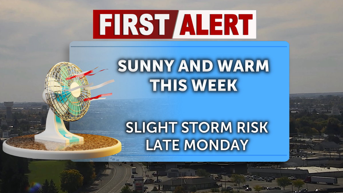
We could see a few isolated thunderstorms late Monday. However, we’re not expecting much moisture. We’re still looking at high pressure hanging around this week, with above normal temperatures and mainly sunny skies. We start to break down the ridge by the end of this weekend, with gusty winds and scattered showers.
For Monday evening and overnight, partly cloudy skies with a slight risk of an isolated thunderstorm. Overnight low temperatures around 50° for the Snake River Plain.
Sunny for Tuesday, with high temperatures reaching the upper 70’s to lower 80’s. Light winds from the south around 5 mph.
Wednesday will be sunny with high temperatures reaching the upper 70’s. Light and variable wind becoming west southwest around 5 mph in the afternoon.
Thursday and Friday will remain clear and warm with high temperatures reaching the upper 70’s for the Snake River Plain.
We start breaking down the ridge of high-pressure Saturday, with increasing wind speeds. Temperatures will be cooler with highs in the lower 70’s. Winds will be gusting over 20mph.
There is a chance of rain late Saturday night heading into Sunday, with lows down to the mid 40’s. Sunday will be cooler with highs in the 60’s and a chance at rain.