State experts talk about tsunami, landslide risks for Southeast Alaska
Published 3:30 am Monday, September 7, 2026
By Leilani Combs Wrangell Sentinel
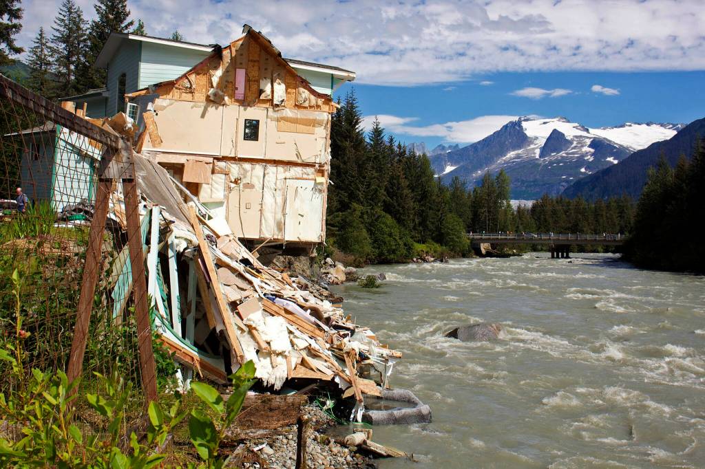
With glacial flooding last month in Juneau, a landslide-driven tsunami last year in Tracy Arm, deadly landslides in Wrangell in 2023 and in Sitka, Haines and Ketchikan in recent years, the presence of natural disasters in Southeast Alaska is becoming more apparent.
About 25 or so residents gathered at Wrangell City Hall on Aug. 25-26 for presentations from experts on earthquake, tsunami and landslide risks and preparedness.
The first evening’s presentation, given by the Alaska team for the National Tsunami Hazard Mitigation Program, showed attendees how earthquakes can drive tsunamis and why the waves are so destructive.
“I think it’s important to stress that it is a misconception that communities in the Southeast are completely protected from tsunamigenic earthquakes,” said Barrett Salisbury, hazard program manager at the Alaska Division of Geological and Geophysical Surveys.
Salisbury said there are several earthquake scenarios that could directly affect the area including quakes from the Alaska Aleutian subduction zone, the Haida Gwaii section of the Queen Charlotte Fault offshore British Columbia and activity in the Cascadian Subduction Zone in the Pacific Northwest.
These scenarios will be included in a report that Salisbury and his colleagues are preparing along with draft maps to provide the borough with the information needed for hazard planning. Once approved, those maps will also be published for the public at DGGS.Alaska.gov.
The report will also show potential tsunami inundation lines — where the top of the flood waters may reach on Wrangell Island — to allow the borough to establish tsunami evacuation routes. Residents can learn more about tsunami hazards and see those inundation lines once published at Tsunami.Alaska.edu.
The Aug. 26 presentation was given by Jill Nicolazzo, geological engineer with the Alaska Landslide Hazards Program.
Nicolazzo shared models created following the 2023 landslide at 11.2-Mile Zimovia Highway to better understand landslide risks. She clarified that these maps are intended to be used by borough planners more than individual homeowners because they are not site specific.
What the maps did show is that for Wrangell — like most other islands in Southeast — the risk for landslides is higher on the western-facing slopes, which are more exposed to ocean winds and storms, Nicolazzo said in the presentation. This is also where most of the island’s population resides.
The modeling also found that the steeper the landscape, the higher the landslide risk, and that there is a high correlation of landslides in proximity to creeks and waterways.
Landslide program manager Molly McCreary said in an interview that someone asked after the presentation why they mapped the whole island.
“Doing the whole island is good because people also recreate and they drive anywhere there’s a road,” McCreary said, “So we kind of have it in just to keep people aware of the hazards in these areas.”
She said that while the maps’ intended purpose is to inform development, they can also be used to inform people recreating in the backcountry where there may be increased danger during periods of high rainfall.
Although the initial Wrangell mapping project is finished and will be available to the public in the coming weeks, McCreary intends to do a more in-depth study on the variables that lead to the differences between the two landslides in the same area on Nov. 20, 2023 — the one that spilled across Zimovia Highway and the one that blocked Middle Ridge Road.
“We want everyone to be aware of what’s going on, but we also want people to be well educated, understand what’s going on,” Mike Lucio said at the meeting. He is the geohazards mitigation coordinator for the Division of Homeland Security and Emergency Management.
“So we’re not talking from a place of fear or a place of misconceptions or bad information.”