March 11, 2026, 2:23 AM HST
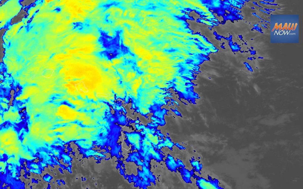
Kona storm satellite imagery (2 a.m., Wednesday, March 11, 2026) PC: NOAA/ NWS
A powerful kona storm began impacting the western end of the state overnight. It is forecast to spread across the remainder of the smaller islands by midweek and the Big Island towards the end of the week.
“While flash flooding remains a major concern, confidence is increasing that strong to severe thunderstorms may develop Wednesday into the weekend. Damaging winds will likely be the primary hazard with these storms, though large hail cannot be ruled out. In addition to the heavy rainfall and severe thunderstorm threat, strong and potentially damaging kona winds are possible late in the week and into the weekend,” according to the National Weather Service.
A Flood Watch is in effect for Maui County from 6 a.m. today until 6 p.m. on Saturday. Watches went into effect for Niʻihau, Kauaʻi and Oʻahu on Tuesday. A Flood Watch will go into effect on Hawaiʻi Island later today.
ARTICLE CONTINUES BELOW AD
A High Wind Watch is currently in effect until 6 p.m. on Saturday for Haleakalā on Maui and Big Island summits. The forecast calls for wind from the southwest blowing at 45-65 mph with gusts up to 85 mph possible. Winds this strong can make driving and walking dangerous. The winds can forcefully open doors and damage hinges or slam doors shut, possibly causing injuries.
A High Wind Watch for the summits means that strong and potentially damaging winds in excess of 56 mph with frequent gusts over 66 mph are expected but not yet occurring. The public should take precautions now to protect property by tying down loose objects or moving them to a sheltered location.