I have been staring at New Jersey maps my whole life. Paper maps, the kind that came folded wrong and never went back the same way twice. And for as long as I can remember, one name always stopped me.
Ong’s Hat.
It sat there in Burlington County, deep in the Pine Barrens, along Magnolia Road just west of the Four Mile Circle where Routes 70 and 72 meet. No population figure. No town symbol. Just the name, sitting in the middle of all that green space like a question somebody forgot to answer. I did not know what it was. I just knew the name was unlike anything else on the map.
It was not until years later that I learned I was not the only one.
Ongs Hat metropolitan area | Google MapsOngs Hat metropolitan area | Google Maps
How the name happened
I have always chosen to believe the legend. Jacob Ong — a man with a fondness for flashy headwear — got into an argument with a woman at a local dance. She stomped on his hat. In a rage, he threw it into a tree. The hat stayed there. People started navigating by it. Eventually somebody put it on a map, and the name stuck through three centuries, a ghost town, and the early internet.
The more scholarly version is that the Ong family operated an 18th-century waystation along a colonial road through the Pines — a resting spot called Ong’s Hut where settlers and farmers hauling grain would stop. Over time, hut became hat. We raised our kids canoe camping on the Mullica River, telling them the story of Jacob Ong the same way I told them about Mrs. Leeds and her thirteenth child. You know that one. Out there in those same dark pines, the Jersey Devil was born. Ong’s Hat fits right into that tradition. I am sticking with the hat in the tree.
What the town was — and what it became
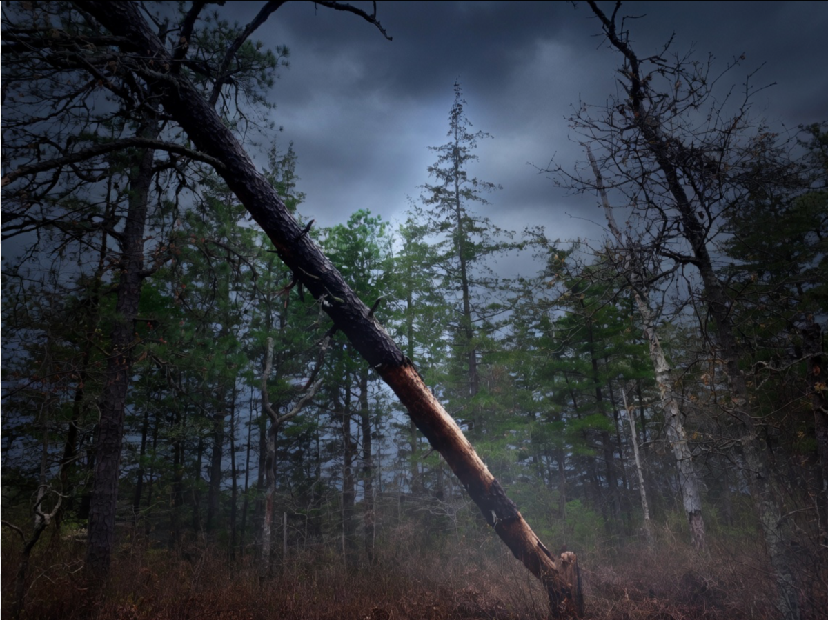
By the 19th century Ong’s Hat was a small functioning community — a handful of houses, a store, the kind of place the Pine Barrens produced in its cedar water interior. People lived there, farmed the sandy soil, worked the bogs. Then it emptied out the way Pine Barrens towns do — slowly, quietly, completely. The buildings disappeared. The crossroads remained. The name stayed on the maps.
Which turned out to be exactly enough.
Where it gets strange
In the 1980s a piece of collaborative fiction began circulating in underground zines and eventually on early internet bulletin boards. It was called the Incunabula Papers, and it told the story of a commune of renegade scientists who had set up operations in the abandoned settlement of Ong’s Hat — and who had successfully built a device capable of transporting human consciousness to parallel dimensions.
The papers were written with the texture of real documents. Footnotes. References to actual physics papers. The whole thing was designed to feel like something you had stumbled onto rather than something someone had invented. It worked. People believed it. Or at least half-believed it enough that Ong’s Hat developed a genuine reputation as the location of an actual portal to other dimensions. People drove out to Magnolia Road looking for evidence. Some still do.
Internet historians now consider the Incunabula Papers one of the first examples of an Alternate Reality Game — collaborative fiction designed to blur the line between story and reality, spreading through channels that existed before social media could do the spreading automatically. The Pine Barrens were the perfect setting. Mysterious, vast, empty, and already full of their own legitimate legends.
SEE ALSO: The jetport that almost destroyed the Jersey Pine Barrens
Batona Trailhead at Ongs Hat | Google MapsBatona Trailhead at Ongs Hat | Google Maps
The portal that actually exists
Here is my favorite detail. The Batona Trail — 53 miles of footpath through the heart of the Pine Barrens, one of the great hikes in the eastern United States — begins at Ong’s Hat. If you want to walk into the deepest part of this forest, into the cedar water and the pitch pine and the silence that has been here since before New Jersey was New Jersey, you start at the same crossroads where Jacob Ong allegedly threw his hat into a tree.
That is a portal in itself. No interdimensional physics required.
One more thing
New Jersey is full of places that used to exist and left only their names behind. Most of them left at least a foundation, a chimney, a cemetery. Ong’s Hat left almost nothing physical. What it left was the name, and the name was enough to carry the whole story through three centuries, from paper maps to the internet, from local legend to global conspiracy theory.
I still think about that name on the old maps. Ong’s Hat. Right there in the Pine Barrens, west of the Four Mile Circle, on a road through the cedars that most people drive past without slowing down.
Somewhere in those woods a hat is still in a tree. At least I like to think so.
Batsto Village and pine barrens lake trail — photos from April 2026
A family hike along the Batsto Lake Trail in Wharton State Forest, Burlington County, New Jersey — April 2026. The flat four-mile loop behind historic Batsto Village winds along the Batsto River and Lake through the heart of the Pine Barrens. The trail is easy, well-marked with white blazes, and accessible to hikers of all ages. Along the way — pitch pines, cedar water, spring wildflowers including a purple pitcher plant, and at least one unbothered garter snake.
Gallery Credit: Photos by EJ