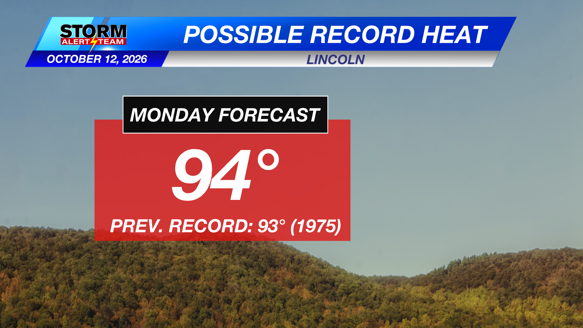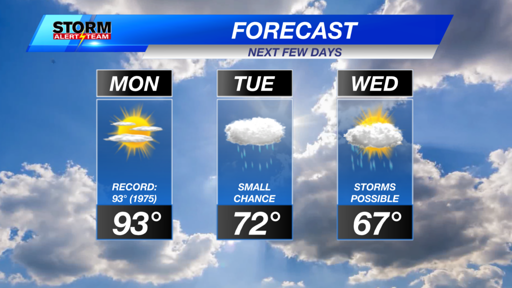
We have a chance for another 90-degree day and a run at a record high to start the work week off in Lincoln. Cooler weather will move in through midweek, alongside the chance for showers and thunderstorms.
Short-range runs of StormCast keep us dry in eastern Nebraska while a cold front looks to push out any remnants of summer. Changes are on the way as we head further into the work week.
The potential for severe weather returns in the central plains late Tuesday evening. A Marginal Risk (Level 1 out of 5) of severe weather is in place for far southeast Nebraska, where isolated severe storms are possible. Damaging winds look to be the main concern at the moment; expect more details as we get closer to the midweek.
-
12 AM Wednesday, October 14
-
6 AM Thursday, October 15
Long-term runs of StormCast show chances for showers and thunderstorms through Thursday as a low-pressure system slowly tracks east across the country.
Temperatures to start the day on Monday will be on the warm side for those in southeast Nebraska. Overnight temperatures fall to the upper 60s, while those behind the cold front start the work week in the 40s and 50s.
Expect mostly clear skies tonight in Lincoln, with temperatures falling to the upper 60s by the Monday morning commute. We stay breezy overnight with winds gusting up to 30 miles per hour.
A front continues to linger across central portions of the state, giving us a split in our afternoon temperatures on Monday. We will see afternoon highs in southeast Nebraska reach the lower 90s, while central and western Nebraska remains cooler.
One more warm day to work through before we see cooler fall-like weather in the Capital City. Temperatures on Monday will reach near-record values (93° – 1975).
Relief from the heat arrives on Tuesday as a cold front finally looks to push through, bringing afternoon temperatures down closer to average.
The extended forecast looks a lot more like mid-October once we get past Monday. Highs will remain in the 60s and 70s for the most part, though a high-pressure system from Canada looks to bring cooler weather to end the work week.
Storm Alert Team Meteorologist
Dominic Ferraro
X: DomFerraroWX
Facebook: DomFerraroWX
YouTube: DomFerraroWX
Categories: Channel 8 Eyewitness News Weather, Forecast
Tags: Aurora, Beatrice, forecast, Grand Island, Hastings, Kearney, lincoln, McCook, midweek rain, mostly sunny, near record highs, severe weather threat, seward, weather