
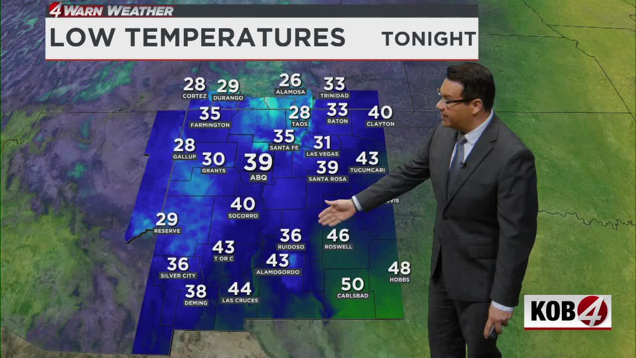
ALBUQUERQUE, N.M. – New Mexico’s main storm is moving out, with winds easing tonight and drier, quieter weather returning Tuesday across most of the state.
Monday evening, precipitation will gradually decrease and winds will come down across most of New Mexico. Breezy conditions will continue over some higher terrain, including the Continental Divide, the central mountain chain and the northeastern plains.
The wind should be noticeably weaker than it was during the day. A few light rain and snow showers will also continue across the northern mountains.
There is still a lot of moisture near the ground from recent rain and snow, which could produce low clouds tonight across parts of west-central, northwestern and north-central New Mexico.
Sheltered valleys and places with standing water could still see patchy fog or patchy freezing fog where winds become light and the ground remains saturated.
Tuesday morning will start chilly, and some patchy fog or freezing fog could still be around early in the morning. Those areas should improve after sunrise.
The bigger change Tuesday will be much quieter weather. Drier northwest winds aloft will move into New Mexico, skies will become mostly clear and winds will be much lighter.
Temperatures Tuesday should stay close to normal or just slightly below normal. After several days of active weather, Tuesday will bring a significant break.
A weaker Pacific system will move across the Great Basin and into Colorado on Wednesday. Most of its precipitation should stay north of New Mexico, but a few light showers may develop along the Colorado border, including Chama, Dulce, Taos, Red River and the northern mountains.
- For Related Stories: Eddie Garcia Weather Forecasts