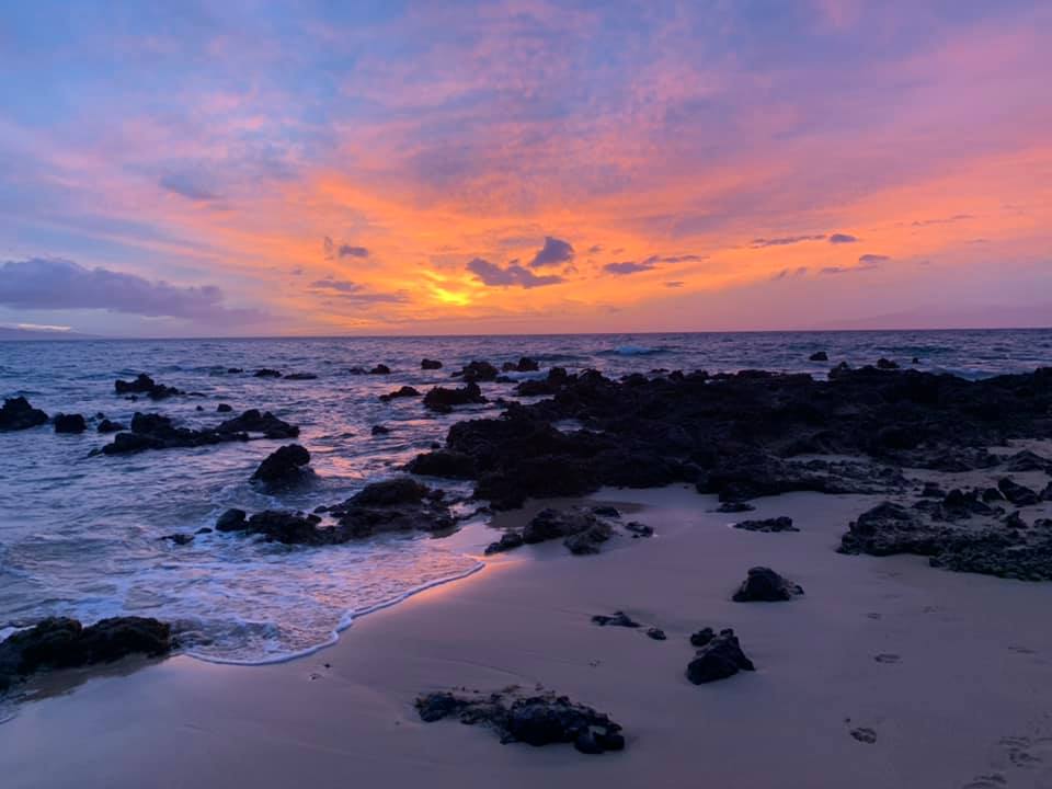
Photo Credit: Pamela Goguen Lynch
West Side
Today: Sunny. Highs 75 to 82. Northeast winds 10 to 15 mph.
Tonight: Partly cloudy. Scattered showers in the evening, then isolated showers after midnight. Lows 65 to 72. Northeast winds 10 to 15 mph. Chance of rain 40 percent.
Saturday: Sunny. Isolated showers in the morning. Highs 76 to 82. Northeast winds 10 to 15 mph. Chance of rain 20 percent.
South Side
Today: Sunny. Highs 74 to 83. North winds 10 to 15 mph.
Tonight: Mostly cloudy with isolated showers in the evening, then partly cloudy after midnight. Lows 64 to 72. North winds 10 to 15 mph. Chance of rain 20 percent.
ARTICLE CONTINUES BELOW AD
Saturday: Sunny. Highs 74 to 84. North winds 10 to 15 mph.
North Shore
Today: Mostly sunny. Scattered showers in the morning, then isolated showers in the afternoon. Highs 65 to 81. Northeast winds around 10 mph. Chance of rain 40 percent.
Tonight: Mostly cloudy with numerous showers. Lows 50 to 75. Northeast winds around 10 mph. Chance of rain 70 percent.
Saturday: Partly sunny with scattered showers in the morning, then mostly sunny with isolated showers in the afternoon. Highs 66 to 82. East winds 10 to 15 mph. Chance of rain 50 percent.
Central Maui
Today: Sunny. Highs 77 to 82. Northeast winds 10 to 15 mph.
ARTICLE CONTINUES BELOW AD
Tonight: Mostly cloudy with scattered showers. Lows 65 to 70. Northeast winds around 10 mph. Chance of rain 50 percent.
Saturday: Mostly sunny. Isolated showers in the morning. Highs 78 to 83. Northeast winds around 10 mph. Chance of rain 20 percent.
Upcountry
Today: Mostly sunny. Scattered showers in the morning, then isolated showers in the afternoon. Highs around 61 at the visitor center to around 59 at the summit. Northeast winds around 10 mph. Chance of rain 40 percent.
Tonight: Partly cloudy in the evening then becoming mostly cloudy. Scattered showers. Lows 41 to 55. Northeast winds around 10 mph. Chance of rain 50 percent.
Saturday: Partly sunny. Scattered showers in the morning. Highs around 61 at the visitor center to around 64 at the summit. East winds around 10 mph. Chance of rain 50 percent.
East Maui
ARTICLE CONTINUES BELOW AD
Today: Mostly sunny. Scattered showers in the morning, then isolated showers in the afternoon. Highs 65 to 81. Northeast winds around 10 mph. Chance of rain 40 percent.
Tonight: Mostly cloudy with numerous showers. Lows 50 to 75. Northeast winds around 10 mph. Chance of rain 70 percent.
Saturday: Partly sunny with scattered showers in the morning, then mostly sunny with isolated showers in the afternoon. Highs 66 to 82. East winds 10 to 15 mph. Chance of rain 50 percent.
Lanai City
ARTICLE CONTINUES BELOW ADARTICLE CONTINUES BELOW AD
Today: Sunny. Highs 71 to 78. Northeast winds 10 to 15 mph.
Tonight: Partly cloudy. Isolated showers in the evening. Lows around 64. Northeast winds 10 to 15 mph. Chance of rain 20 percent.
Saturday: Sunny. Highs 71 to 78. East winds around 10 mph.
Kaunakakai
Today: Sunny. Highs 68 to 83. Northeast winds 10 to 15 mph.
Tonight: Partly cloudy. Isolated showers in the evening, then scattered showers after midnight. Lows 56 to 72. Northeast winds 10 to 15 mph. Chance of rain 40 percent.
Saturday: Sunny. Highs 69 to 83. East winds 10 to 15 mph.
Synopsis
A ridge to the north will maintain moderate to locally breezy trade winds into the weekend. An upper level ridge overhead will help to limit rainfall totals into Saturday. Low level moisture riding in on the trades will bring more typical windward and mauka showers by the end of the weekend into early next week.
Discussion
No significant changes with the morning package. The forecast has been nudged towards the latest run of the National Blend of Models.
A ridge north of the islands will allow moderate to locally breezy trade winds to spread across the islands. The overnight soundings show slightly higher precipitable water (PW) values near the Big Island than near Kauai. Satellite shows some additional clouds forming near the Big Island in the pre-dawn hours. Rainfall totals are expected to remain low into tomorrow with mid level ridging in place.
Moisture associated with a trough to the far northeast of the islands will get caught up in the trade wind flow this weekend. This will result in an uptick in shower activity to more typical trade wind showers for the first part of the new week. By mid week, a new front passing north of the state could once again disrupt the trade wind flow.
Aviation
A ridge north of the islands will maintain a moderate to locally breezy trade wind pattern into the weekend. VFR conditions are expected to prevail with isolated showers. Brief MVFR conditions are possible, primarily in windward and mauka areas with showers. No AIRMETs are in effect, and none are expected today.
Marine
Trade winds have returned in response to an upper ridge slowly expanding in west northwest of the islands. The associated surface high far northwest of the offshore waters will travel east, pass north of the local waters and be northeast of the area by early next week. This will produce a tight enough Central Pacific pressure gradient across the islands to maintain generally moderate to locally fresh trade wind magnitudes the next several days. Moderate trades will persist into next week as another high passes north of the state.
A pair of northern gale lows will send a series of small size north northwest swells (320-330 degree) into the local waters from Friday night into the first half of next week. These swells should help maintain near average surf along north-facing shores. A deepening weekend storm low developing near the Aleutian Islands may send a slightly larger northwest swell towards the islands by mid next week.
The current short to medium period north northeast swell (30 degrees) will continue to decline this evening. A small fetch of fresh northeast winds associated with a very weak low northeast of the state could provide a short-lived reinforcing short period swell into the water late Friday into Saturday. Otherwise, below average surf is expected along eastern exposures into next week due to the lack of any significantly strong trade wind activity over or upstream of the state.
Small background energy from the west will continue to linger the next few days and fade out this weekend. A small southwest bump from the Tasman Sea that passed across American Samoa’s 51209 buoy Wednesday is expected to arrive early tomorrow. No significant south swell is expected through the first half of next week.
HFO Watches/Warnings/Advisories
None.
Maui Now Weather is brought to you by Blue Hawaiian Helicopters.
Check out their Maui Helicopter Tours today!
Data Courtesy of NOAA.gov