
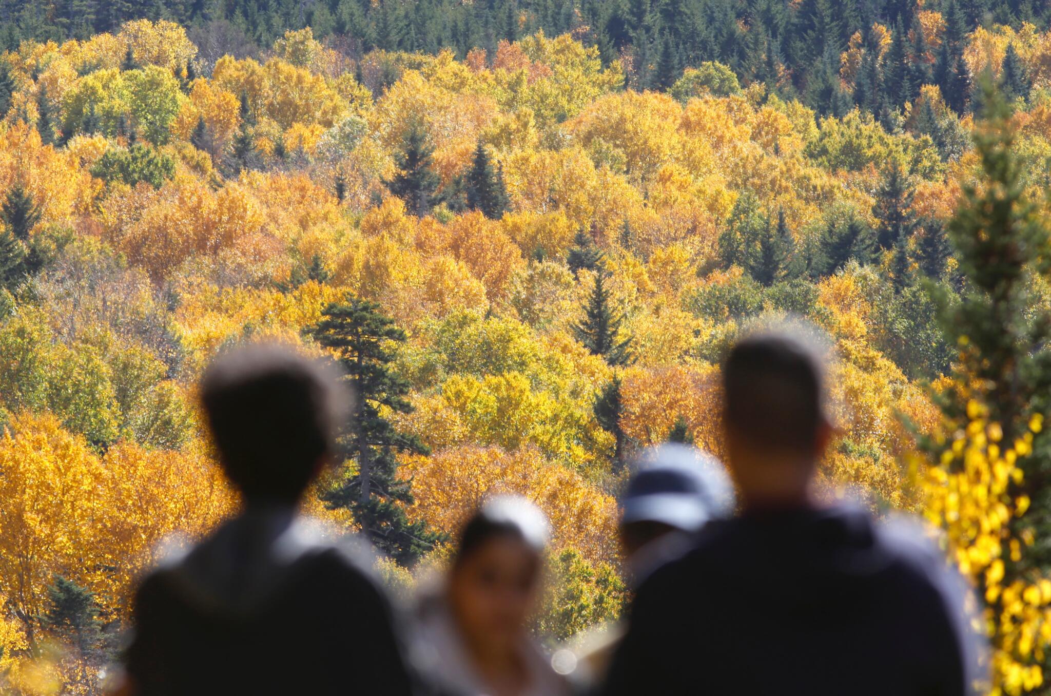
With Indigenous Peoples/Columbus Day weekend around the corner, many have been eyeing the forecast for big outdoor plans — whether heading north for peak foliage, hitting local apple orchards or squeezing in an outdoor gathering.
While the first half of the long weekend is serving up quintessential autumn weather, attention is quickly shifts to the tropics. Hurricane Isaias has officially formed in the Gulf of Mexico and is forecast to rapidly strengthen as it moves toward the Gulf Coast in the coming days.
As Isaias tracks inland over the Mississippi Valley, its tropical moisture will get scooped up by an approaching northern atmospheric trough, sweeping rain straight into the Northeast.
What does that mean for holiday weekend plans? Here is a day-by-day roadmap.
A forecast for the long weekend, as of Wednesday, Oct. 9, 2026. (Danielle Noyes/1DegreeOutside)
Friday: Pleasant and breezy
For those kicking off the long weekend early, Friday is shaping up to be a very pleasant autumn day.
- Sky and temps: Mostly sunny with comfortable highs topping out in the upper 60s.
- Wind: A noticeable, crisp northwest breeze will gust around 10 to 15 mph, keeping things feeling refreshingly fall-like.
Saturday: The uncontested pick of the weekend
Make Saturday the day to set big outdoor plans. High pressure will be solidly in control, delivering a picture-perfect fall day.
- Morning: A cool, crisp start to the day. Grab a light jacket or fleece for the early hours.
- Afternoon: Light winds, a gradual increase in clouds and a lovely rebound, into the mid 60s. It simply doesn’t get much better for early October.
Sunday: Increasing rain odds
This is where the forecast takes a turn. Moisture associated with the remnants of Isaias is expected to move in our direction.
- Setup: As tropical moisture sweeps up from the south and interacts with a disturbance pushing in from the west, clouds will thicken rapidly Sunday morning, with chances for showers and downpours ramping up through the day.
- Impact: Sunday is not a guaranteed dry day for outdoor plans. It will likely start dry in the morning, with chances for rain increasing from west to east through the afternoon. Keep the rain gear handy and build indoor flexibility into afternoon plans.
The predicted track for Tropical Storm Isaias. (Danielle Noyes/1DegreeOutside)
Holiday Monday: Monitoring rain chance
Monday will likely start kind of gloomy: clouds, lingering showers, patchy fog. Depending on how quickly the rain departs though, there may be an improvement throughout the day — so it’s definitely a day somewhat in flux. Rain chances are likely to decrease throughout the day and highs will be in the mid to upper 60s.
The foliage report
If leaf peeping is top of mind for a long weekend road trip, location is everything:
- Northern New England: It is officially peak color across the Great North Woods, higher elevations of the White Mountains, Vermont’s Northeast Kingdom and northern Maine. In fact, some of the highest notch passes are already just a bit past peak, but the displays across northern valleys are vibrant and stunning.
- Central and southern New England: The lower half of New England is still a ways off from official peak color, but brilliant pockets are popping up everywhere. Thanks to a recent stretch of crisp, chilly mornings and bright sunny days, trees are getting a much-needed kick start. Random, isolated maples in neighborhood parks or along wetlands ablaze in fiery reds and oranges already.
Meteorologist Danielle Noyes is the co-founder and vice president of 1DegreeOutside and WBUR’s go-to forecaster. For more weather insights, check out the free 1DegreeOutside app.
Editor’s note: This article has been update to reflect that Isaias has evolved from a tropical storm to a hurricane.
This article was originally published on October 07, 2026.