Iowa weather: Saturday showers before a drier Sunday
DES MOINES, Iowa —
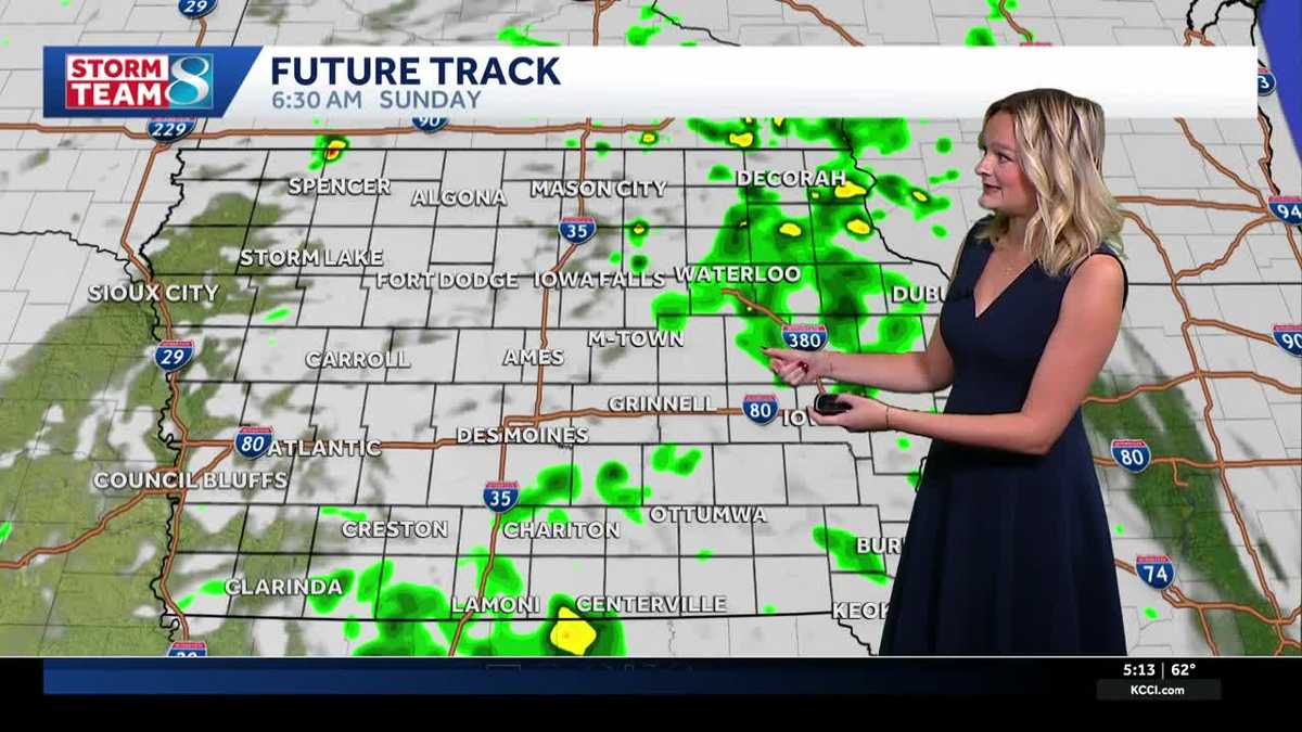
It’ll be a rainy Saturday overall, but there’ll be clearing in the afternoon for some before isolated storms fire up once again tonight into early tomorrow.
Some spots could get 1-2 inches of rain by tomorrow morning, and highest rainfall totals will add up in central and western Iowa. Concern for flash flooding is low since this batch of rain isn’t as heavy compared to other rain events this month, but river flooding is still possible. Highs today top out in the mid 60s.
Interactive Radar | Weather Alerts | Skycams
Tomorrow will be drier after a chance for rain in the morning, but still cloudy and cool in the upper 60s. We’ll have a better chance to get some sunshine by Monday, which will be the best day for outdoor plans until late next week. By Tuesday we’ll see another batch of widespread showers and some storms. Rain chances linger into Wednesday and Thursday, but drier weather looks likely by next weekend. Temperatures stay steady next week with highs around 70 degrees and lows around 60 degrees.
Keep an eye on weather across Iowa with KCCI’s skycams
Weather watchers can keep an eye on conditions by checking our skycam page, which shows aerial views from more than 25 sites across the state.
Iowa weather forecast
Today
Rainy morning. Some showers still expected in the afternoon. Low chance of a thunderstorm. High 66F. Winds SE at 10 to 20 mph. Gusts up to 25 mph.
Tonight
Rain showers in the evening will evolve into a more spotty rain overnight. Low 59F. Winds ESE at 10 to 15 mph.
Tomorrow
Slight chance of rain showers early. Mostly cloudy skies last through the day. High 69F. Winds SE at 5 to 10 mph.
Tomorrow Night
Cloudy. Low 59F. Winds E at 5 to 10 mph.