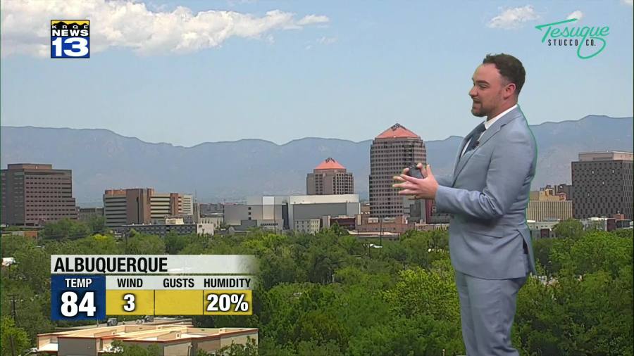
A cold front moved into New Mexico overnight. This front will bring high temperatures that will be as much as 5° to 10° cooler than Tuesday.
Highs will climb higher again Thursday as an area of high pressure builds over New Mexico. This kind of heat will stick around New Mexico through Saturday, but southerly winds will start picking up across New Mexico Friday afternoon. Breezy southerly winds will return again Saturday afternoon
Temperatures start cooling off Sunday as high pressure moves out of New Mexico and our first monsoon pattern of the season begins setting up. The best surge of moisture will move in starting Monday, first bringing rain and thunderstorm chances into southern and eastern New Mexico before shifting west into the Rio Grande Valley by Tuesday. Some of this rain will be heavy with a threat of burn scar flash flooding.