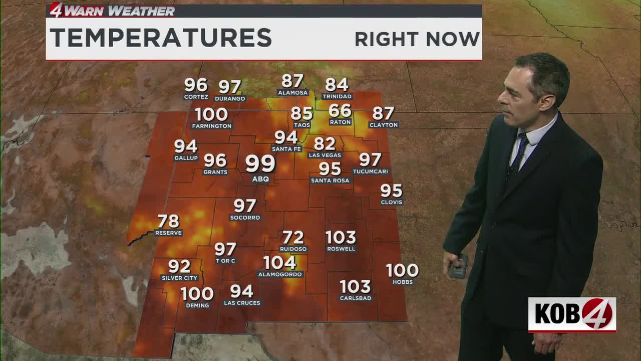
Heat advisories continue across parts of New Mexico as temperatures could top 100 degrees and some storms could bring heavy rain, hail and 55 mph winds.
ALBUQUERQUE, N.M. – Heat advisories continue across parts of New Mexico as temperatures could top 100 degrees and some storms could bring heavy rain, hail and 55 mph winds.
Heat advisories continue through early evening for the Albuquerque metro area, the Four Corners and other parts of New Mexico. Temperatures could break 100 degrees in many areas.
The best chance for thunderstorms Friday evening will be in eastern and southwestern New Mexico. Some storms may bring heavy rain, strong winds and large hail.
Flood watches remain in effect around Ruidoso and into the Sacramento Mountains in Otero County from noon Saturday through the evening for possible heavy rainfall.
A wind advisory will take effect around the Albuquerque metro area from 8 p.m. Friday until 2 a.m. Saturday. Gusty east winds could increase around Tijeras Canyon with gusts up to 55 mph.
What comes next?
Moderate to major heat risk will affect many lower elevations of New Mexico again early next week. High temperatures will reach the upper 90s to low 100s.
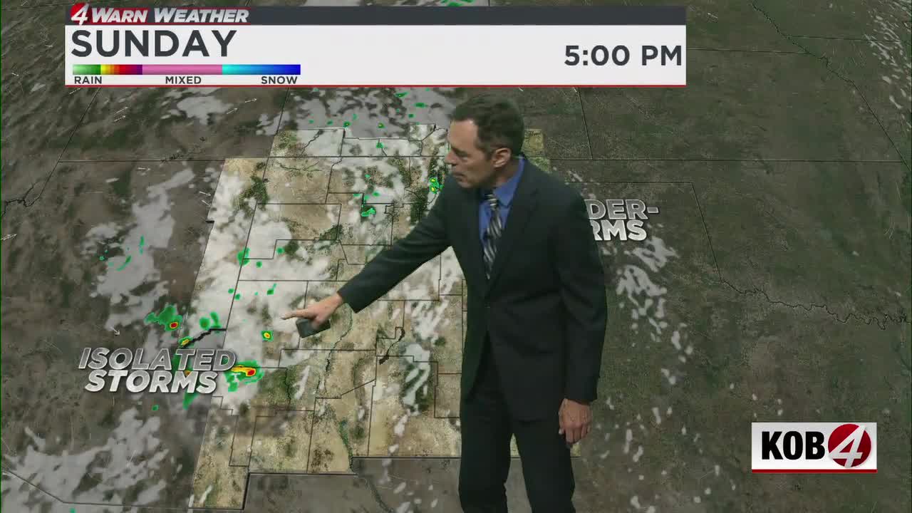
Sunday and Monday will bring less rain to New Mexico with only isolated showers and storms.
Daily afternoon thunderstorms will continue over the next seven days with frequent lightning, gusty winds, hail and localized heavy rainfall.
Flash flooding will remain possible in places that get multiple days of heavy rain or repeated rounds of thunderstorms.
Rain chances may run a little higher Saturday. Central and eastern New Mexico also face a small threat of damaging winds with thunderstorms Saturday.
The best chance for rain around Albuquerque could come Saturday. Heavy rainfall will be more likely with storms in central and eastern New Mexico that day.
- For Related Stories: Alan Shoemaker Weather Forecasts