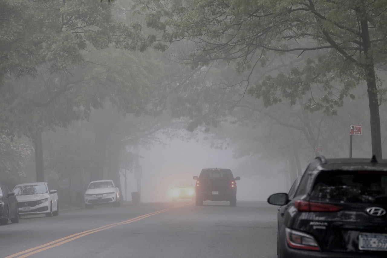
Central Pennsylvania residents should prepare for a morning of dense fog and a day of clouds and random showers on Thursday.
More scattered rain showers are possible this evening, and substantial rainfall is expected Friday. Saturday looks like a mixed bag, with sun, clouds and thunderstorms possible.
A dense fog advisory is in effect until about 8 a.m. Thursday.
Temperatures will rise, climbing to the upper 60s and low 70s by afternoon, a substantial increase from recent cooler days. The high today in the Harrisburg area is supposed to be 76.
Rain showers are forecast to develop this evening, with light precipitation tracking from west to east. The most likely areas for rainfall are near the Maryland border and east of Interstate 81.
Friday and Saturday will bring more widespread precipitation, with the potential for thunderstorms, particularly in the afternoon and evening hours. Some areas could experience locally heavy rainfall amid storms.
The weekend will turn notably cooler, with northwest winds gusting 25 to 35 mph on Saturday. Temperatures will drop dramatically, with Sunday morning temperatures in some parts of the state barely reaching 40.
However, a significant warming trend is expected next week.
May 2025 has already been remarkably wet for the region, with Harrisburg recording 7.94 inches of precipitation, the second-wettest May on record.
Current weather radar
Generative AI was used to produce an initial draft of this story, which was reviewed and edited by PennLive.com staff.