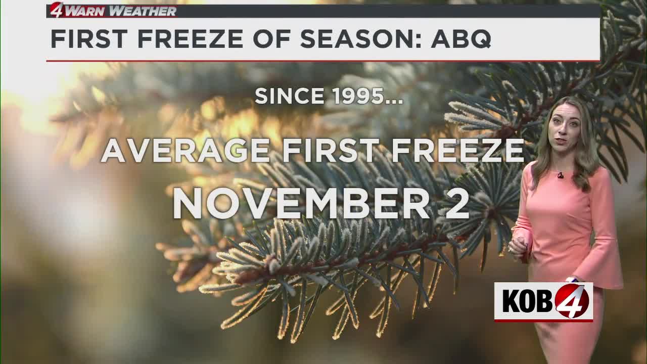
Since 1995, the average first freeze in Albuquerque is November 2. Right on cue, there are some freeze watches in effect as that date is less than a week away. See the latest conditions at KOB.com/Weather.
ALBUQUERQUE, N.M. — As we near the average first freeze date in Albuquerque, the first Freeze Watch of fall 2025 has been issued for the metro.
The National Weather Service in Albuquerque issued a Freeze Watch for the Albuquerque metro, the Santa Fe area and several other counties in New Mexico. It goes from late Tuesday evening to Wednesday morning.
Albuquerque’s average first freeze date, dating back to 1995, is November 2. That date is less than a week away.
Monday Forecast
Another dry day is on tap for Albuquerque and New Mexico but we will see a cold front pass through the state. Current model data has that cold front passing through at around 3-7 p.m. – so that means we’ll see warmer than average temperatures for most of the state. However, the cold front could speed up.
We’re also not looking at any rainfall potential across the Land of Enchantment for Monday or even for the next seven days. This could bring back a flash increase in drought conditions.
Winds will be gusting in the wake of the cold front.
Albuquerque Metro Forecast
For Albuquerque, peak wind gusts could be upward to 20 mph out of the northwest after frontal passage.
We’ll start seeing the effects of the cold front Tuesday afternoon. Afternoon highs across the state will be near seasonable averages. We’ll most notably see the biggest effect Wednesday morning as morning lows will drop into the low-30s, especially in the metro. Expect the first freeze watches of the season being issued for the Albuquerque and Santa Fe metro areas Tuesday night into Wednesday morning.
Prepare now to protect the 4 “P”s: People, Pets, Pipes, and Plants.
Meteorologist Amanda Goluszka shares all the details in her full forecast in the video above.
MORE:
- For Related Stories: Amanda Goluszka Weather Forecasts