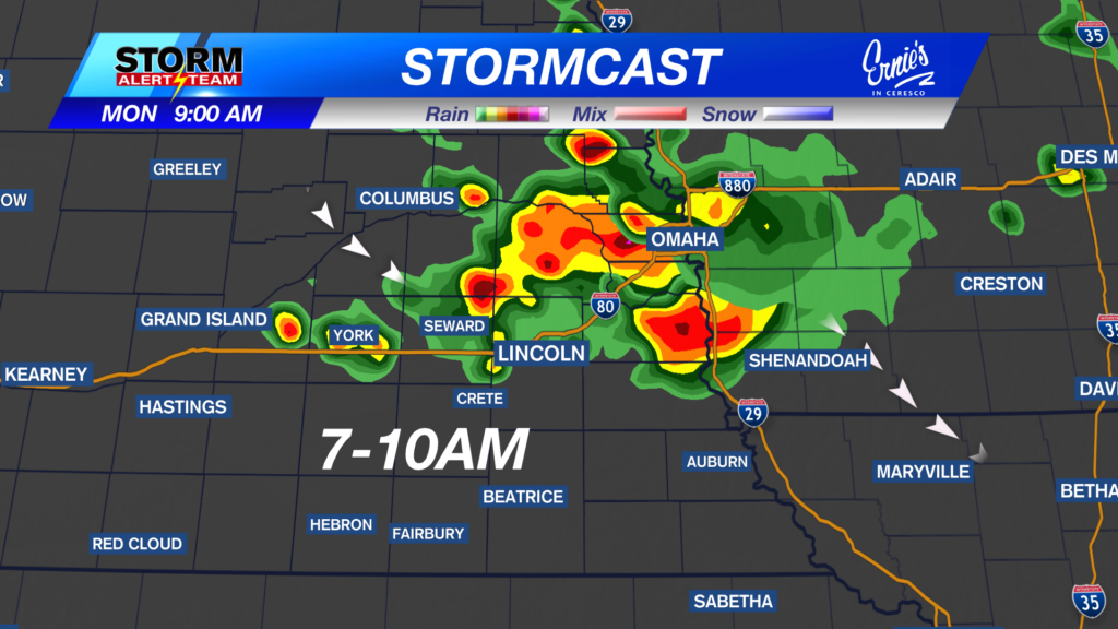
7-11am:This morning, rain/T-storms will occur from Columbus->SE. Areas farther west will likely see lighter rain coverage. Have that umbrella for the morning time though!
A warm/HOT day across Nebraska under mostly sunny skies! Highs ranging from 80° – 97° with dew points in the 50s & 60s! Tolerable, but a tiny bit muggy!
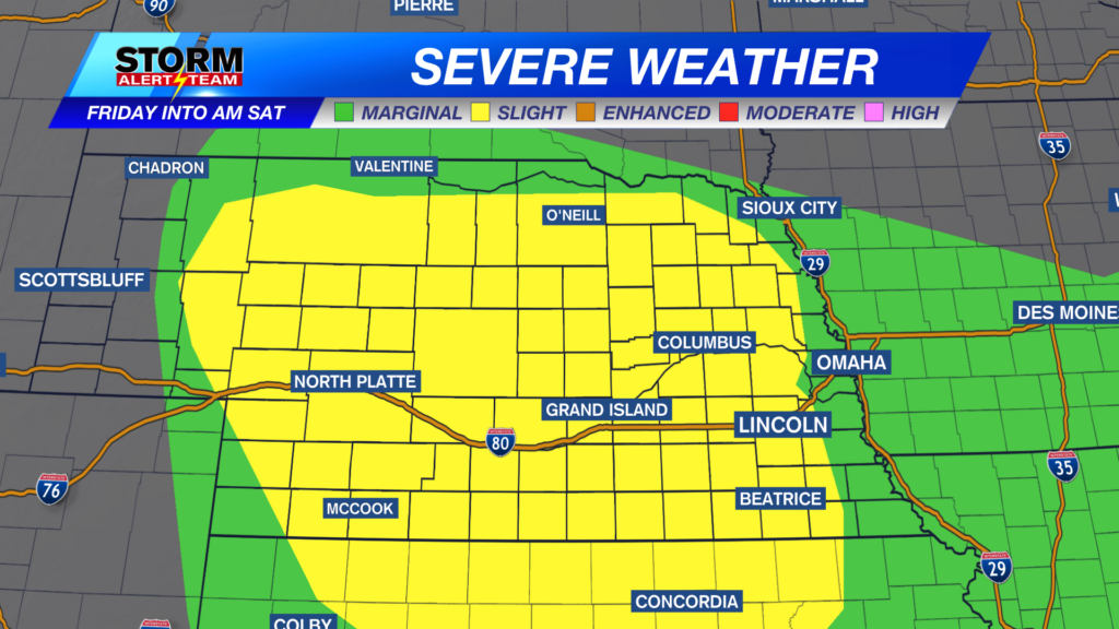
5-7pm: Storms will develop across Cherry county & extend south, carrying a damaging wind/hail threat.
8-11pm: Storms will move ESE losing some steam* HINT the marginal risk farther east*. A few gusts up to 50-60 mph will be possible with some decaying storms.
Tuesday Afternoon SEVERE Weather: August 25, 2026
Damaging winds up to 65-75+ mph will be possible with these storms Tuesday afternoon & evening. Small hail could accompany storms also.
Storm chances will depend on what happens early Tuesday morning. The best rain/storm chance will look to be near 5-9pm across SE Nebraska.
Best rainfall chance looks to be from west central, NE -> areas along and south of I-80. Some areas could receive another 2-4″ through Saturday morning.
A pleasant mid week with near average temperatures. A warm up could be in store as we head into September with potential for storms near September 1-2 ahead of an interesting storm system.
Meteorologist Houston Hall
Facebook: HHallWX
YouTube: HHallWX
Tags: #klkntv, Beatrice, channel 8 weather, cool, damaging winds, forecast, Grand Island, hail, Hastings, lincoln, McCook, Nebraska, North Platte, Omaha, rain, severe weather, warm, weather, Wind