
INDIANAPOLIS (WISH) — We’re tracking a significant pattern change that will bring showers, thunderstorms and the coldest temperatures of the season so far by the end of the week, with some areas seeing a few snow showers by week’s end.
Tuesday
A weak front will slide through during the late morning and early afternoon, but you won’t notice much beyond a shift in wind direction.
Tuesday shapes up beautifully with highs climbing into the mid-60s around central Indiana. Southwestern counties along I-70 near Terre Haute could push into the upper 60s.
A few areas of fog will be possible later tonight – especially northeast of the Indy metro.
Wednesday afternoon and evening: Showers and storms arrive
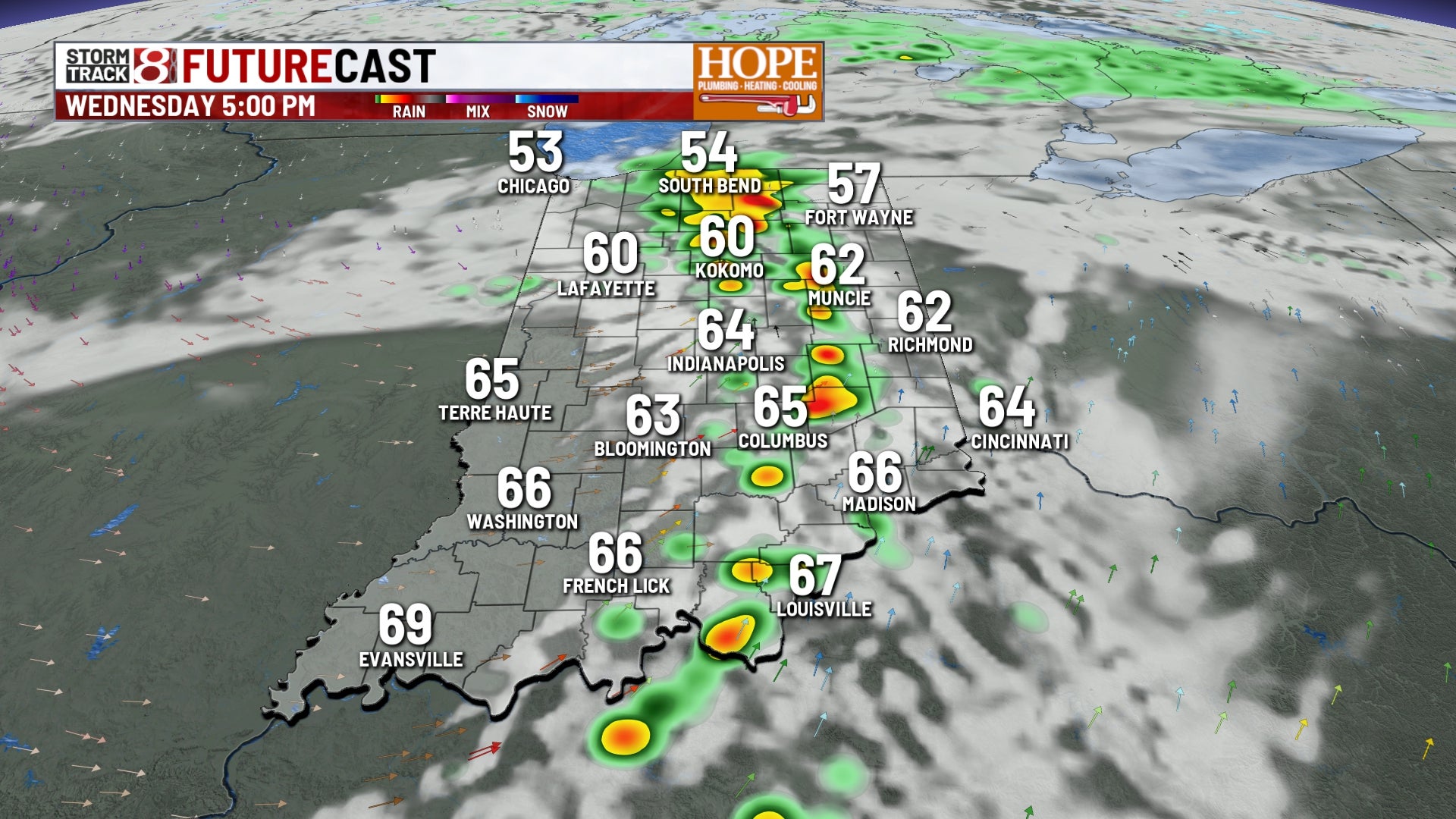
The weather turns active late Wednesday afternoon. A cold front will sweep through central Indiana, bringing showers and a few thunderstorms.
The best chance for stronger storms will be south of Indianapolis, particularly along and south of State Road 46. A few cells could produce gusty winds, especially in areas closer to the Ohio River. The line of storms will move through quickly, clearing out by late Wednesday night.
Expect highs Wednesday in the low to mid-60s before the front arrives.
Thursday and Friday: Raw and cold
Thursday brings the coldest air we’ve seen this fall. Northwest winds will gust throughout the day as temperatures struggle to reach the mid-40s. Scattered light rain showers will be most common north and east of Indianapolis, including along I-69 and U.S. 31.
Low clouds and those brisk winds will make it feel even colder than the thermometer suggests. Factor in the rain showers, and Thursday will feel downright raw.
Another weather disturbance will track across the region, and with cold air in place, we could see a mix of rain and snow, especially north of Interstate 74. No accumulation is expected.
Highs Friday will only reach the mid-40s at best. Some counties northeast of Indianapolis may stay stuck in the lower 40s all day.
Friday night: Hard freeze expected
Friday night brings the coldest temperatures of the season. Lows will drop into the mid-20s across all of central Indiana. This will be a hard freeze, so any remaining sensitive plants will need protection or should be brought inside.
Weekend and next week: Dry and gradually warmer
High pressure builds in for the weekend, bringing dry conditions back to central Indiana. Saturday will still feel chilly with highs in the mid- to upper 40s, but at least the sun returns.
Temperatures will slowly moderate as we head into next week. By Tuesday and Wednesday of next week, highs will climb back into the mid- to upper 50s, much more seasonal for mid-November.