
TODAY
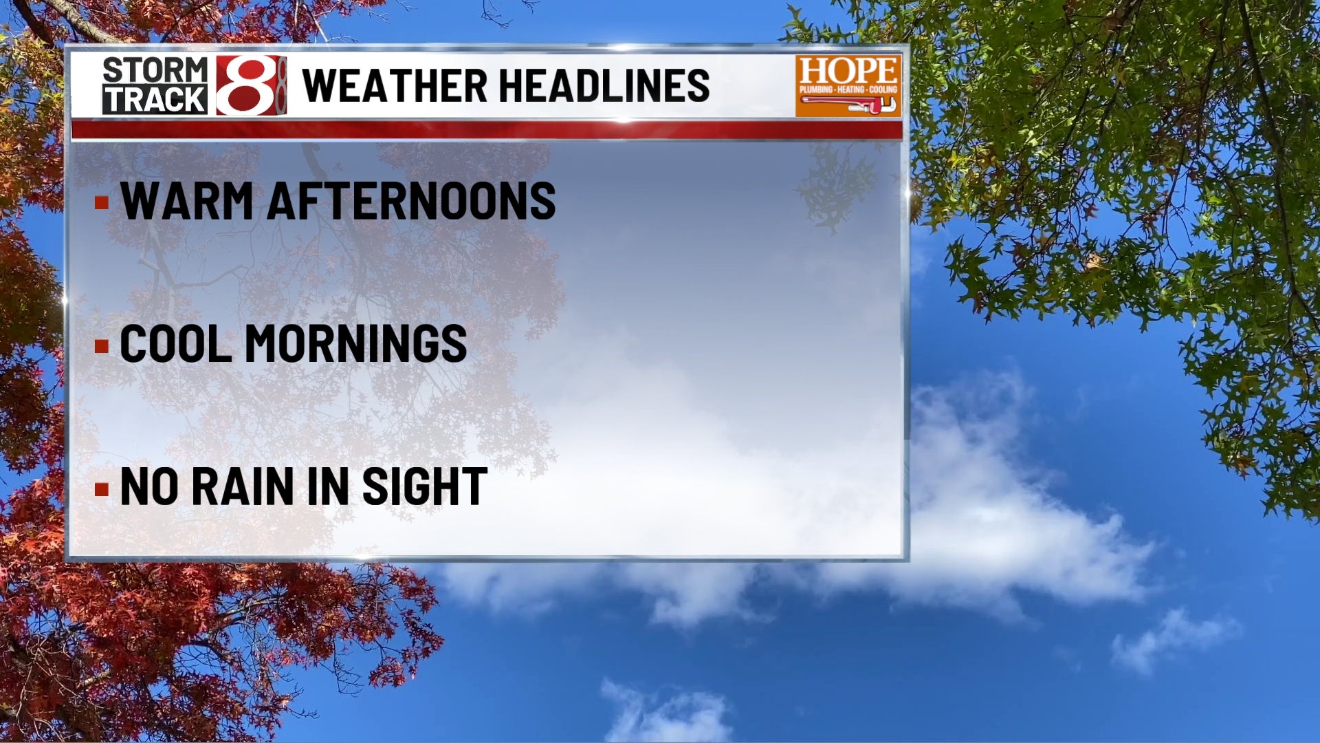
A chilly start gives way to another beautiful fall afternoon across central Indiana. Some patchy fog may briefly develop in low-lying areas around sunrise, but it should disappear quickly. From there, expect plenty of sunshine with highs reaching the lower 70s. East to southeast winds remain very light around 5 mph. With dry air and almost no wind to deal with, Saturday should be an excellent day to get outside.
TONIGHT
Mostly clear skies continue through much of the night, although a few clouds may drift through at times. Temperatures fall into the middle to upper 40s with southeast winds around 5 mph or less. Some patchy fog could redevelop toward Sunday morning in the usual sheltered and low-lying locations.
TOMORROW
If you liked Saturday, Sunday gives us essentially the same thing with a little extra warmth. Expect plenty of sunshine with highs reaching the middle 70s. South winds stay light around 5 mph. There are no rain concerns, making this another very dependable day for outdoor plans.
TOMORROW NIGHT
Partly cloudy and cool with lows falling into the upper 40s. Winds become nearly calm overnight. It will still be chilly by Monday morning, but nowhere near the frostier weather we dealt with last weekend.
MONDAY
Monday keeps the quiet streak going. Expect a mixture of sunshine and a few clouds with highs reaching the lower to middle 70s. Winds remain nearly calm or around 5 mph. Even with a few more clouds beginning to work into the picture, there is still no meaningful rain concern.
MONDAY NIGHT
Clouds become somewhat more noticeable overnight with temperatures falling to around 50 degrees. Winds remain nearly calm, and conditions stay dry.
TUESDAY
Tuesday may look a little grayer than the weekend, but it still appears mainly dry. Expect partly sunny skies with highs in the lower 70s. South to southeast winds remain light around 5 mph. There is a small amount of uncertainty beginning to creep into the forecast by this point, but any meaningful rain looks unlikely for now.
TUESDAY NIGHT
Mostly cloudy and seasonably cool with lows around 50 degrees. East to southeast winds remain around 5 mph. Most of central Indiana stays dry.
WEDNESDAY
Clouds and sunshine likely share the sky Wednesday as temperatures remain mild for late October. Highs reach the lower to middle 70s with south winds around 5 mph. The forecast becomes somewhat less certain by the middle of the week, but for now the better chance is that most of Wednesday remains dry.
7 DAY OUTLOOK
The weekend stays sunny, dry and pleasantly mild, with highs in the lower 70s Saturday and middle 70s Sunday. Temperatures remain in the lower to middle 70s Monday through Thursday, although clouds become more noticeable beginning Monday night and Tuesday. Confidence drops a bit toward the end of the week as the overall pattern begins changing. For now, most of the workweek looks mainly dry, with highs slipping back toward the upper 60s by Friday. A more meaningful opportunity for unsettled weather may develop closer to Halloween weekend.