The Bottom Line
Temperatures stay comfortable and springlike for now, although New Jersey’s weather is about to turn a little more unsettled. For Tuesday, early sunshine will quickly erode to cloud cover. A few sprinkles are possible in the afternoon, although this disturbance is very weak and our air is very dry, so don’t expect much. The better chance of rain will arrive on Wednesday. While most of the day will be dry, although quite cloudy, widespread pockets of rain will bring wet and potentially stormy weather starting late afternoon or early evening. A healthy half-inch of rain looks likely through Wednesday night. Thursday and Friday look quiet, breezy, and slightly cooler. Our next chance of rain will be on Saturday.
Weather Hazards
While pockets of steady to heavy rain are likely on Wednesday, widespread severe weather and/or flooding is not expected.
Saturday’s storm system may necessitate some caution for wind and/or coastal impacts. But uncertainty is high regarding the track of that system for now.
Climatological Context
April 28 is the 118th day of 2026.
The normal high temperature across New Jersey for this date is 68 degrees. Normal lows range from 46 to 48 degrees.
On average, April is the 6th coolest, 4th driest, and 5th snowiest month of the year.
Tuesday
Monday was such a spectacular spring day, with sunshine and seasonable temperatures. And I so want to call Tuesday a nice day too. But there are a few wrinkles in play.
First of all, a bank of clouds is knocking on our door, set to erode away the sunshine and bright blue sky. As cloud cover increases, it will lead to slightly cooler temperatures. Still comfortable, but highs will end up a few degrees cooler.
Look for thermometers to rise from about 40 in the morning — definitely jacket weather — to the lower to mid 60s in the afternoon.
In addition, a few showers are possible Tuesday afternoon. And I do mean “a few”. The disturbance coming in will be quite weak, and our air is quite dry. So this is going to take the form of sprinkles and spritzes, if that. I do not think you need to adjust or cancel your outdoor plans Tuesday because of this rain chance — just be prepared for the potential of some damp conditions for a brief time.
Tuesday night will be mostly cloudy but otherwise quiet. Low temperatures will dip into the upper 40s or so.
Wednesday
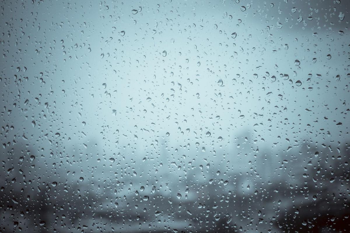
Wednesday will turn even more unsettled. Translation: even wetter.
Under lots of clouds, high temperatures will get stuck in the lower 60s. The day will start dry, through the morning and early afternoon.
Rain chances will start shooting up as our next storm system arrives in the late afternoon to early evening time frame. The best chance for pockets of steady to heavy rain will be in the evening and overnight time frame. Everyone in New Jersey will likely get wet, with about a half-inch of total rainfall. The risk of severe (dangerous) weather is low.
Thursday
Showers may linger through about daybreak Thursday morning. Then, we will dry out as skies clear through midday.
A noticeable cool breeze will have you reaching for a jacket Thursday, as high temperatures only reach about 60 degrees. Not bad, but 5 to 10 degrees below normal for the last day of April.
Friday & Beyond
Friday looks reasonably pleasant, although again on the cool side. Mostly sunny and 60 degrees.
Saturday is tricky, as some model forecasts (namely, the GFS) depict a coastal storm system sliding by New Jersey, providing our next chance of soaking rain. But this is not a “slam dunk” at this time, as some models (namely, the Euro) keep this system well out to sea. Just like our most complicated winter storms, this is a case of storm track. At least we don’t have to deal with precipitation types and accumulations here — just whether or not it will rain. (And perhaps whether wind and/or coastal flooding will be an issue.)
For now, I’ll say stay tuned for most on Saturday’s forecast once things clear up a bit. Regardless of how that plays out, Sunday and Monday look clear with rising temperatures. We should touch 70s for a day or two by the middle of next week.
5 DAY FORECAST: New Jersey Weather Center
11 reasons why storm chasing in NJ is a very, very bad idea
Gallery Credit: Dan Zarrow
Dan Zarrow is Chief Meteorologist for Townsquare Media New Jersey. Follow him on Facebook for the latest forecast and realtime weather updates.
POP QUIZ: Can you name all 10 interstate highways in New Jersey?
Gallery Credit: Dan Zarrow