More than 3,000 residents living in 20 villages downstream of the Ma Mya Dam in Ayeyarwady Region’s Myanaung Township have been evacuated due to the risk of a potential dam collapse since Saturday. Myanaung is located 146 miles (234 km) north of the region’s capital Pathein.
A Myanaung resident told DVB on the condition of anonymity that the Ma Mya Dam is about to collapse as it’s only about four feet above the water level.
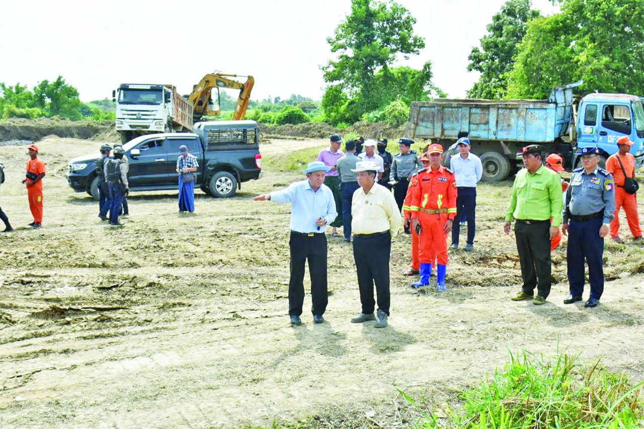
Regime media reported that fortification efforts overseen by the regime’s Ayeyarwady Region Chief Minister Aye Kyaw reduced the water level in the Ma Mya Dam reservoir from 312 feet (95 m) to 307 feet (94 m) on Oct. 11.
The reservoir’s water level had reached 315 feet (96 m), its full supply level, on Oct. 10.
A 250-foot (76 m) stretch of the embankment had subsided by more than 27 feet (8.2 m) since Oct. 10. The Ma Mya Dam, built in 2007, is 150 feet (46 m) tall and 11,800 feet (3,597 m) long, with a capacity to irrigate 5,500 acres of agricultural land.
Residents told DVB that villages in both Myanaung and Hinthada districts could be flooded if the dam collapses.
Flooding caused by an embankment collapse in the Ngawun River, located in Ayeyarwady’s Lemyethna Township, on July 31 affected more than 150,000 residents across 10 townships. Lemyethna is located 63-85 miles (101-136 km) south of Myanaung and north of Pathein.
Besides Lemyethna, Yekyi and Ngathaingchaung townships were also impacted. At least two people have been killed with livestock, rice fields and other crops damaged. The full extent of the losses have not been reported.