Dr Amrita Gogoi, Asst. Professor at Dibrugarh University recalls how a flood once interrupted her school examinations. Her narration lacked a crescendo. She remembers sitting at her desk writing while she could hear the waters gush. Soon after, the floodwaters slowly moved into her classroom.
As she kept writing, she told me how the hem of her mekhela slowly became wet and rose inch by inch. I wondered why her story lacked panic and urgency.
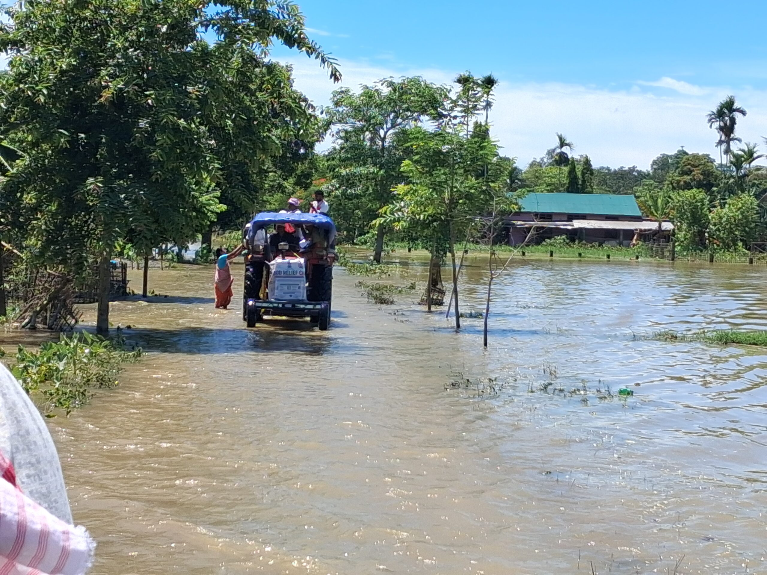
The floods in 2026 once again submerged large parts of the Brahmaputra Valley. Over several weeks of successive spells of heavy rainfall, millions across the state were affected.
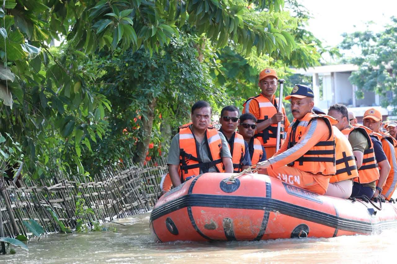
According to the Assam State Disaster Management Authority’s flood report as of July 28, the disastrous flood waters inundated 45,341 hectares of agricultural fields, affected 622 villages and seven districts- Sivasagar, Charaideo, Golaghat, Jorhat, Nagaon, Sonitpur and Kamrup Metro- official records reported 75 flood-related deaths.
The most common pictures in the public’s collective memory are submerged homes, relief camps, rescue boats, and breached embankments; these images have grown excruciatingly familiar. However, these images capture only the visible moments of the disaster.
The Disaster before the Flood
The disasters begin much earlier than the breached embankments and continue long after water recedes. Environmental Sociologist Dr Mitual Baruah urges us to look beyond the visible events of floods.
In Slow Disaster, Baruah argues that erosion and flooding unfold gradually over time; because of their slow onset, the precarity they create is overlooked by the state, which results in a delayed or inadequate response.
Even after the floodwaters eventually withdraw, the disaster persists and lingers in eroded riverbanks, destroyed croplands, repeated displacements and loss of livelihoods.
Treating each flood as an isolated natural disaster covers up the historical processes that produce vulnerabilities and overlooks how floods have become more destructive and frequent.
It naturalises suffering by attributing the devastation to excessive rainfall. Doing so erases and overlooks political decisions and ecological transformations.
The gradual historical changes that take place (re)shape the relationship between people, environment and the state. The interventions in the landscape fundamentally altered the way water moves through the Brahmaputra basin.
The numerous wetlands absorbed excess water, but buildings, roads, towns and industries changed this ecological process.
Forests in the upstream catchments have been cleared in an unregulated manner for highways, mining activities and large infrastructure projects.
The expansion of dams regulates the seasonal movement of water and sediment. Over the past two decades, these cumulative interventions have transformed the hydrological character of the Brahmaputra and its tributaries. These processes permanently reorganise how the floodplains behave.
(Re)making the floodplain
The extent of devastation witnessed in Sivasagar district offers a glimpse of the broader transformations with historical consequences.
For years, local communities and environmental groups have argued that indiscriminate coal mining, hill cutting and excavation of the mountain slopes in Nagaland have already altered the fragile catchments feeding the Dikhow River.
In a region that receives incessant rains, the removal of forests and excavation of hill slopes leave the hill terrain unstable and highly susceptible to erosion.
During the monsoon, intense rainfall washes large quantities of loosened soil and sediment into the Dikhow River. This increases the river’s sediment load and raises the riverbed over time. It contributes to more extensive flooding downstream in districts like Shivsagar.
The proposed Dikhow Hydropower Project, a 186MW dam in Nagaland, exemplifies this unfolding transformation. It represents a fundamentally technocratic idea of the riverine ecology. Dikhow is a part of the wider river system that sustains the floodplains in Upper Assam.
The dam planned in the Dikhow-Yangnyu rivers, the project promises electricity, investment and regional development.
However, communities downstream in Shivsagar, Charaideo and Jorhat worry about a different future in which changes in river flow, reservoir operations and watershed disturbances increase the risk of flooding during the monsoon season and decrease the amount of water available during the dry seasons.
These apprehensions are not anti-development; viewed in isolation, the Dikhow project is undertaken as ‘regional development ’, but to view it alongside embankments, highways, quarrying, hill cutting and expanding extractive industries across the Eastern Himalayas and its riverine systems, it has transformative and historical consequences. These cumulative interventions deserve our attention.
Living with floods
Baruah reminds us that the Brahmaputra valley was not always organised around the idea of taming rivers and transforming the riverine ecology. Floods were integral to the hydrosocial rhythms of the region.
It allowed communities to organise agriculture, fishing, and settlement around seasonal inundation, and the communities could adapt to the river’s cyclical behaviour. Maybe that’s why the description of the flood in Dr Amrita’s story lacked a dramatic crescendo.
Views expressed are that of the author and do not reflect EastMojo’s stance on this or any other issue. The author is a Teaching Fellow at the Environmental Studies Department at Ashoka University.
Raysha Alvir
Reporter, EastMojo
You just read a story that took days to report. Help us keep our reporters on the ground in the Northeast.
For Rs 83/month – less than a cup of coffee
Ad-free reading, support and keep important stories alive
Become a Member
OR
Support once (any amount)
₹199
Recommended ₹499
₹799
Other Amount
or
Scan to pay via UPI