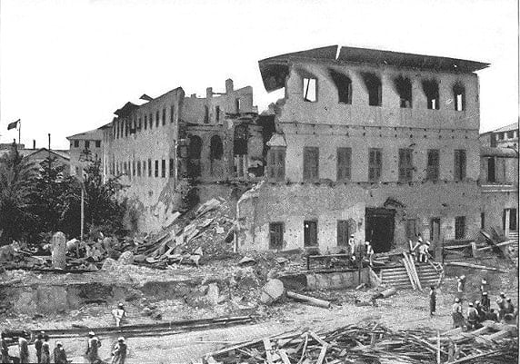
Densely constructed masonry of Structure VIII submerged. Credit: Konstantinos Merkouris / CC BY 4.0
A team of Greek researchers has uncovered extensive remains of a semi-submerged ancient settlement along the northern coast of Naxos, using advanced robotic technology to map the underwater site in remarkable detail.
Led by Konstantinos Merkouris of the University of Patras’ Department of Geology, the study focused on the Grotta area of Naxos Town.
Researchers deployed a robotic vessel known as an Unmanned Surface Vehicle, or USV, to survey the shallow coastal waters — areas typically too dangerous or inaccessible for traditional dive teams or large boats. The remains lie between the shoreline and depths of up to five meters (16.4 feet).
The newly identified features include stone-built walls, foundations and other architectural structures. These remnants appear to be part of a once-inhabited coastal zone that has since slipped beneath the sea due to centuries of rising sea levels.
Merkouris and his team say the findings shed new light on human settlement patterns in the Cyclades and the long-term impact of environmental change on coastal communities.
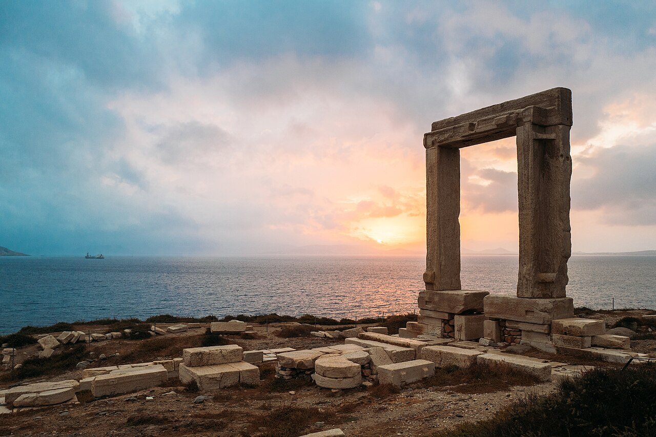
Temple of Apollo on Naxos, one of the Cyclades islands in the Aegean. Credit: Leynadmar Wikimedia Commons CC BY-SA 4.0
Robotic mapping sheds light on ancient coastal infrastructure
The research marks a step forward in underwater archaeology. Using high-resolution sonar and optical sensors, the team documented both the submerged ruins and the natural seabed.
The USV captured bathymetric data — essentially an underwater topographic map — as well as thousands of images that were used to construct 3D models of the ruins.
At Grotta Beach (Sector A), the team identified six stone structures partially buried in rocky seabed terrain. The ruins extend across 300 meters (984 feet) of coastline. While the stone blocks blend into the natural substrate, advanced imaging allowed researchers to distinguish man-made features from the natural environment.
Side-scan sonar mosaic of the surveyed area, with the location of the submerged ancient structures (I-IX). Credit: Konstantinos Merkouris / CC BY 4.0
The team found that most of the preserved walls align east to west, running parallel to the shoreline. Closer to land, the structures are more fragmented, likely due to wave action and time.
New insights from the semi-submerged settlement in Naxos
In the nearby North Port Basin (Sector B), researchers found a more complex site, including dense masonry remains and what appears to be an elongated stone construction with no clear layout.
Among the most striking finds is a rectangular stone structure with tightly fitted blocks, possibly representing a different construction phase or purpose than the surrounding ruins. This structure, labeled Structure VIII, measured roughly four meters (13.1 feet) in length and showed signs of deliberate planning.
The underwater survey also captured photogrammetric images of the seabed. From over 11,000 photos, the team created highly detailed 3D models of key structures.
These models allowed archaeologists to analyze construction techniques and the condition of the ruins with accuracy down to the millimeter (0.04 inches).
A site long known, but until now unexplored below the waves
The Grotta site has long been known for its archaeological richness. Previous excavations on land uncovered artifacts dating back to the Neolithic period, around 4500 BCE. But the submerged section of the ancient settlement has remained largely unexplored — until now.
Past efforts were limited by poor conditions in the shallow, wind-exposed waters and the technical challenges of underwater research.
This new approach, the researchers argue, offers a cost-effective and low-impact solution for documenting fragile underwater heritage.
The electric-powered USV, guided by a high-precision GPS, operated autonomously, collecting acoustic and visual data without disturbing the seafloor. The vessel covered nearly 90,000 square meters (968,752 square feet), completing the survey in just a few days.
The study also highlights the environmental and operational benefits of robotic surveys. Unlike conventional methods, the USV does not require large dive teams or support ships. This reduces both the cost and environmental impact of archaeological fieldwork.