TONIGHT
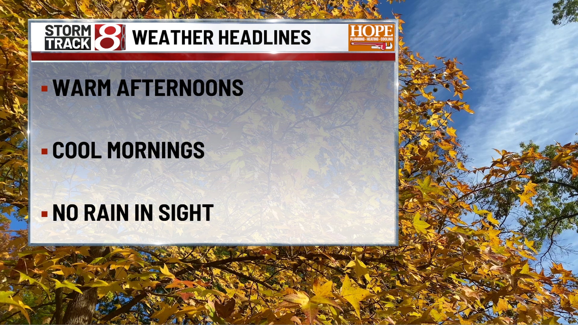
Partly to mostly cloudy overnight as mid and high clouds stream in from the southwest. Lows dip into the upper 40s to around 50, with a light northeast breeze around 5 mph. Patchy fog is possible in outlying areas by daybreak.
TOMORROW
Morning:
A dry start for the big race. Expect mostly cloudy skies with filtered sun at times. Temperatures will begin in the low 50s for early risers at the track, warming into the upper 50s to near 60 by the green flag around midday. Northeast winds at 5 to 10 mph.
Afternoon:
Mostly cloudy with a few light sprinkles or isolated showers, mainly south and west of downtown Indy. Chances are low (around 10-20%), and amounts will be minimal. Highs top out in the mid 60s with continued light northeast winds. Not a bad afternoon, just not a sunny one.
TOMORROW NIGHT
Clouds linger for the walk into Gainbridge Fieldhouse, but temps remain mild in the lower 60s pregame, dipping into the 50s after sunset. No travel concerns expected. Gradual clearing overnight from northeast to southwest. Lows cool again into the mid to upper 40s, with a light breeze from the northeast around 5 mph.
MONDAY
Mostly sunny early, with a few more clouds building late in the day. Highs reach the low 70s with a light east breeze around 5 to 10 mph. Great weather for barbecues, ceremonies, or travel. A stray shower is possible far southwest by evening, but most stay dry through sunset.
MONDAY NIGHT
Clouds thicken with scattered showers developing late, especially south of I-70. Lows in the mid to upper 50s. East wind 5 to 10 mph.
TUESDAY
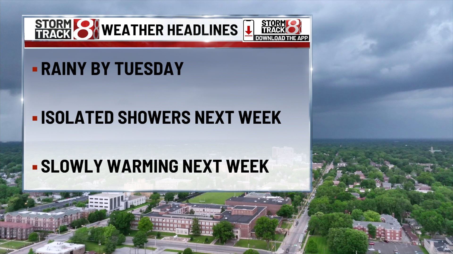
Cloudy with showers likely, especially in the afternoon. A few embedded thunderstorms possible as well. Highs near 67. Rain chances rise to 60%, especially late. Winds east at 10 mph with higher gusts possible.
TUESDAY NIGHT
More showers and some thunderstorms likely, continuing into the overnight. Lows near 60. Rain may be heavy at times.
WEDNESDAY
Clouds and scattered showers persist, with occasional rumbles of thunder. Still cool, with highs in the low 70s. Slight improvement possible by late day.
7 DAY FORECAST
A stretch of cooler-than-normal weather continues through the early part of the week, with scattered light showers possible Sunday—especially near and southwest of Indy—as highs hold in the low to mid 60s. Memorial Day Monday will be partly sunny and a bit warmer, with highs in the low 70s before rain chances return late at night. Showers and embedded thunderstorms become more likely Tuesday into early Wednesday, keeping highs in the upper 60s to low 70s. Skies gradually clear late Wednesday, leading into a drier and more pleasant finish to the week. Highs Thursday through Saturday trend upward into the mid to upper 70s, with partly sunny skies and a welcome return to more seasonable late-spring conditions.