
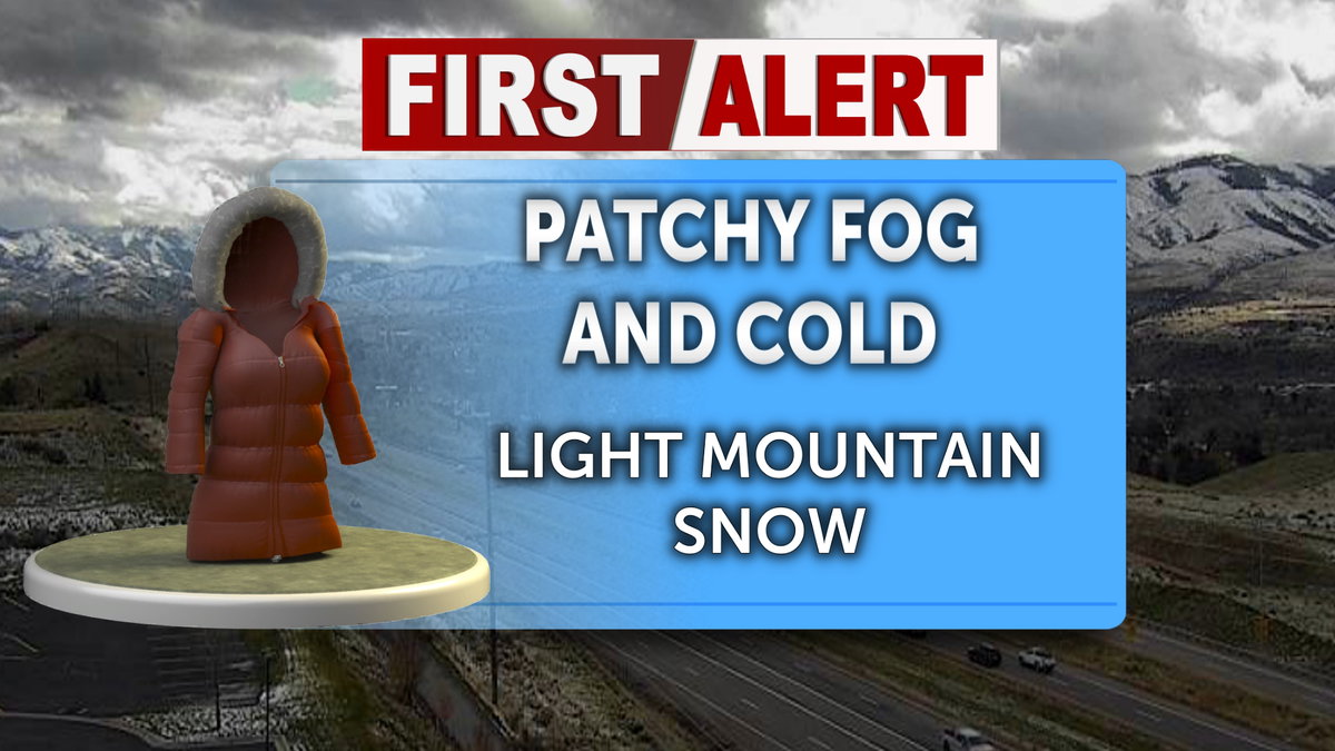
IDAHO FALLS, Idaho (KIFI)- A weak winter storm system is tracking into eastern Idaho tonight and Sunday, bringing light mountain snow and patchy valley fog to the region. There will be minor impacts on travel, confined mostly to higher elevations.
Valley residents will encounter fog developing Saturday evening before 10 p.m., followed by patchy fog after midnight. Skies will remain mostly cloudy through the overnight hours, with temperatures falling to around 24 degrees and south winds at five to seven mph turning north-northeast after midnight.
Light snow is forecast to return late tonight across the central Idaho mountains and the upper Snake River highlands.
Quiet weather will prevail across valley floors through the daylight hours Sunday. Expect mostly cloudy conditions, light and variable winds and daytime high temperatures topping out near 35 degrees. Light snow showers will begin falling in the central mountains during the day Sunday.
Snow will spread eastward into the rest of eastern Idaho late Sunday night into Monday. Higher elevations are forecast to receive one to three inches of accumulation, while lower valleys experience overcast skies, patchy fog, calm winds and overnight lows settling in the mid-20s.
The system will begin pulling away Monday, leaving behind a 20% chance of lingering valley snow showers before 11 a.m. Areas of fog are expected prior to 1 p.m., with patchy fog continuing after 3 p.m. under mostly cloudy skies, a high near 34 degrees and an overnight low around 20 degrees.
High pressure will rebuild across eastern Idaho on Tuesday, establishing dry and cool conditions for the entire region. Skies will turn mostly sunny with afternoon highs reaching near 34 degrees, followed by mostly cloudy conditions Tuesday night with lows dipping to around 21 degrees.
The dry pause ends Wednesday as another storm digs into the Pacific Northwest, pushing cloud cover and daytime highs near 35 degrees across eastern Idaho. While the system will introduce precipitation into western Idaho during the day, eastern valleys will see a 20% chance of snow develop Wednesday night.
Thanksgiving Day brings a 30% chance of snow alongside partly sunny skies and daytime highs reaching near 37 degrees. Precipitation is expected to fall as a rain and snow mix with minimal accumulation, though higher mountain passes may face winter driving conditions.
A weak winter storm system is tracking into eastern Idaho tonight and Sunday, bringing light mountain snow and patchy valley fog to the region. There will be minor impacts on travel, confined mostly to higher elevations.
Valley residents will encounter fog developing Saturday evening before 10 p.m., followed by patchy fog after midnight. Skies will remain mostly cloudy through the overnight hours, with temperatures falling to around 24 degrees and south winds at five to seven mph turning north-northeast after midnight.
Light snow is forecast to return late tonight across the central Idaho mountains and the upper Snake River highlands.
Quiet weather will prevail across valley floors through the daylight hours Sunday. Expect mostly cloudy conditions, light and variable winds and daytime high temperatures topping out near 35 degrees. Light snow showers will begin falling in the central mountains during the day Sunday.
Snow will spread eastward into the rest of eastern Idaho late Sunday night into Monday. Higher elevations are forecast to receive one to three inches of accumulation, while lower valleys experience overcast skies, patchy fog, calm winds and overnight lows settling in the mid-20s.
The system will begin pulling away Monday, leaving behind a 20% chance of lingering valley snow showers before 11 a.m. Areas of fog are expected prior to 1 p.m., with patchy fog continuing after 3 p.m. under mostly cloudy skies, a high near 34 degrees and an overnight low around 20 degrees.
High pressure will rebuild across eastern Idaho on Tuesday, establishing dry and cool conditions for the entire region. Skies will turn mostly sunny with afternoon highs reaching near 34 degrees, followed by mostly cloudy conditions Tuesday night with lows dipping to around 21 degrees.
The dry pause ends Wednesday as another storm digs into the Pacific Northwest, pushing cloud cover and daytime highs near 35 degrees across eastern Idaho. While the system will introduce precipitation into western Idaho during the day, eastern valleys will see a 20% chance of snow develop Wednesday night.
Thanksgiving Day brings a 30% chance of snow alongside partly sunny skies and daytime highs reaching near 37 degrees. Precipitation is expected to fall as a rain and snow mix with minimal accumulation, though higher mountain passes may face winter driving conditions.