
TONIGHT
A few clouds may hang around during the evening before skies gradually turn mostly clear overnight. Temperatures fall into the middle to upper 40s around Indianapolis with east to southeast winds around 5 mph or less. Some patchy fog could develop toward Sunday morning in the usual low-lying and sheltered locations, but otherwise this is a completely quiet night.
TOMORROW
Sunday may end up being the nicest day of the weekend. Any early patchy fog disappears quickly, leaving us with plenty of sunshine and highs reaching the middle 70s. Winds remain exceptionally light, generally around 5 mph or less. With low humidity and no rain anywhere nearby, there really is not much weather getting in the way of Sunday plans.
TOMORROW NIGHT
Mostly clear to partly cloudy skies continue with temperatures falling into the upper 40s. Winds become nearly calm overnight. It stays cool, but temperatures remain well above the frost territory we dealt with last weekend.
MONDAY
Monday keeps the quiet stretch going. Expect mostly sunny skies with highs reaching the middle 70s. Winds remain nearly calm or around 5 mph. There may be a few more clouds around compared with Sunday, but the afternoon remains comfortably mild and completely dry.
MONDAY NIGHT
Partly cloudy and cool with lows around 50 degrees. Winds remain nearly calm and there are no rain concerns.
TUESDAY
Clouds become a little more noticeable Tuesday as the overall pattern slowly begins to change. Expect partly sunny skies with highs in the lower 70s. Southeast winds remain light around 5 mph. Despite the increase in cloud cover, meaningful rain still looks unlikely.
TUESDAY NIGHT
Mostly cloudy with lows in the lower 50s. East to southeast winds remain light around 5 mph. Most, if not all, of central Indiana stays dry.
WEDNESDAY
We should manage another mild afternoon despite some clouds around early. Expect a mixture of clouds and sunshine with highs reaching the middle 70s. South winds increase slightly to around 5–10 mph. The dry streak continues for Indianapolis.
7 DAY OUTLOOK
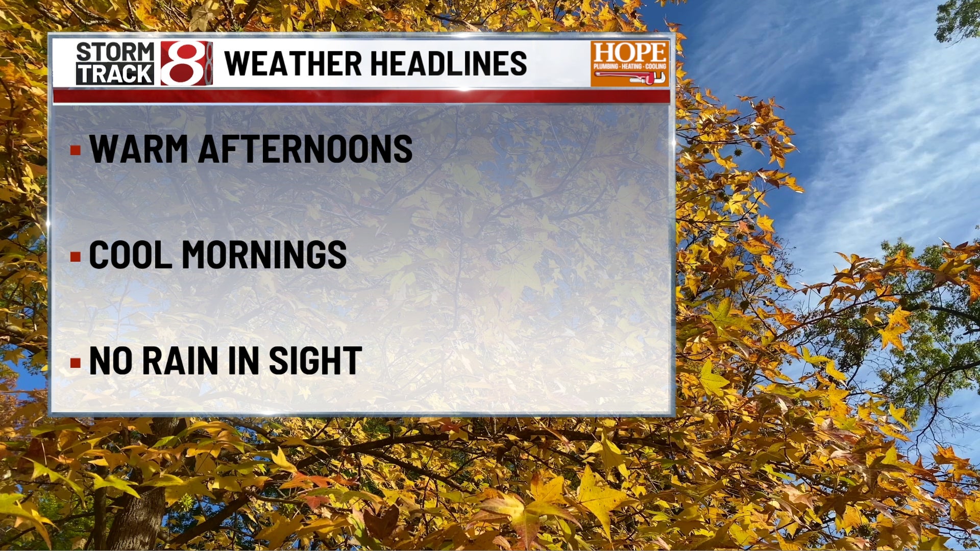
Sunday through most of the workweek remains unusually quiet for late October. Highs generally stay in the lower to middle 70s, with Sunday, Monday and Wednesday likely among the warmer days. Overnight lows gradually climb from the 40s this weekend into the lower 50s by midweek.
Dry weather remains the dominant story through Friday, although clouds increase at times Tuesday and again toward the end of the week. Confidence starts dropping heading into Halloween weekend, when a more unsettled pattern and the next legitimate opportunity for rain may begin approaching central Indiana.