TODAY
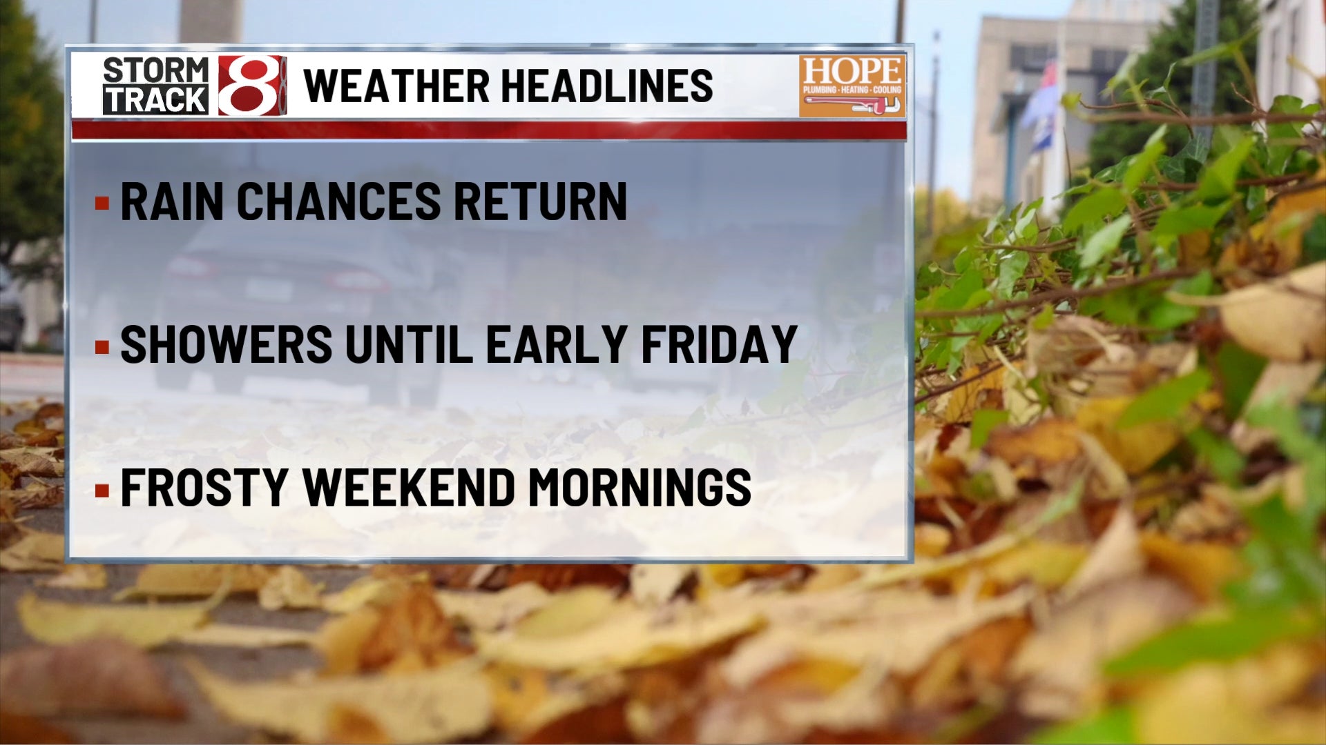
Wednesday finally puts an end to the stretch of record October warmth. Showers become increasingly widespread during the morning, with scattered thunderstorms mixed in as we head through the afternoon. There may be some breaks in the rain, but this is definitely a day where having the umbrella nearby makes sense. Highs reach around 80 degrees with light winds around 5 mph gradually turning more northerly. Some thunderstorms could produce locally heavy downpours, but widespread severe weather is not expected.
TONIGHT
Showers remain possible during the evening, with an isolated thunderstorm still around early. Rain coverage should gradually decrease overnight, although the clouds are not going anywhere. Lows fall into the lower to middle 60s with northeast winds around 5–10 mph. It stays muggy despite the lower temperatures.
TOMORROW
We reload for another round Thursday. Expect mostly cloudy skies with scattered showers through the morning before thunderstorms become more likely during the afternoon as a stronger cold front approaches. Highs reach the upper 70s with east to southeast winds increasing to around 10 mph. A few storms could become strong to severe later in the day, with damaging wind gusts the main concern.
TOMORROW NIGHT
Showers and thunderstorms remain likely during the evening as the cold front sweeps through central Indiana. Rain begins ending from west to east later at night, but the wind becomes much more noticeable behind the front. Temperatures fall quickly into the lower to middle 50s with winds turning northwest around 10–15 mph and becoming gusty. A few stronger evening storms could still produce damaging wind gusts before the front passes.
FRIDAY
Friday may be the bigger shock to the system than either of the rainy days. A stray morning shower is possible, but the main story becomes dramatically cooler temperatures and strong northwest winds. Highs only reach around 60 degrees, with northwest winds around 15–20 mph and gusts potentially reaching 35–40 mph. Add in plenty of clouds at times, and it is going to feel considerably colder than anything we experienced earlier this week.
FRIDAY NIGHT
Skies gradually clear while the wind slowly backs down. Temperatures tumble into the upper 30s to around 40 degrees around Indianapolis. Northwest winds remain around 10–15 mph early before easing later. Some sheltered locations may see patchy frost, but enough wind should prevent it from becoming widespread just yet.
SATURDAY
The coldest afternoon of the stretch arrives with plenty of sunshine but highs only reaching the middle to upper 50s. Winds become much lighter, generally around 5 mph or less. It will look beautiful outside, but this is definitely jacket weather from start to finish.
SATURDAY NIGHT
Clear skies and nearly calm winds create an ideal setup for temperatures to drop. Lows fall into the middle to upper 30s around Indianapolis, with some normally colder locations potentially reaching freezing. Widespread frost looks increasingly likely, and a few spots could experience a freeze.
7 DAY OUTLOOK
Rounds of rain and thunderstorms continue Wednesday and Thursday before a strong cold front sweeps through Thursday evening. A few stronger storms are possible Thursday, then Friday turns sharply colder and windy with highs only around 60 degrees and gusts potentially approaching 40 mph.
The weekend stays chilly but turns much quieter, with sunshine Saturday and Sunday. Widespread frost is increasingly likely Saturday night as lows fall into the 30s, followed by a gradual recovery into the middle 60s Sunday and upper 60s to lower 70s early next week.