INDIANAPOLIS (WISH) — The damp, gray weather that has defined the workweek is finally lifting. Central Indiana is in the perfect spot for a beautiful weekend, sandwiched between storm systems passing to our east and west.
Today:
High clouds from a storm system over the Great Plains will filter the sunshine through the day. These clouds could become thick enough this afternoon to keep temperatures a few degrees cooler.
Highs will reach the low to mid-70s by late afternoon across most of central Indiana. While most areas stay dry, a stray light shower is possible.
Tonight:
Clear skies and calm winds will allow temperatures to drop quickly. Lows will fall into the upper 40s to low 50s statewide.
Patchy fog will develop overnight, especially in low-lying areas and river valleys.
Tomorrow:
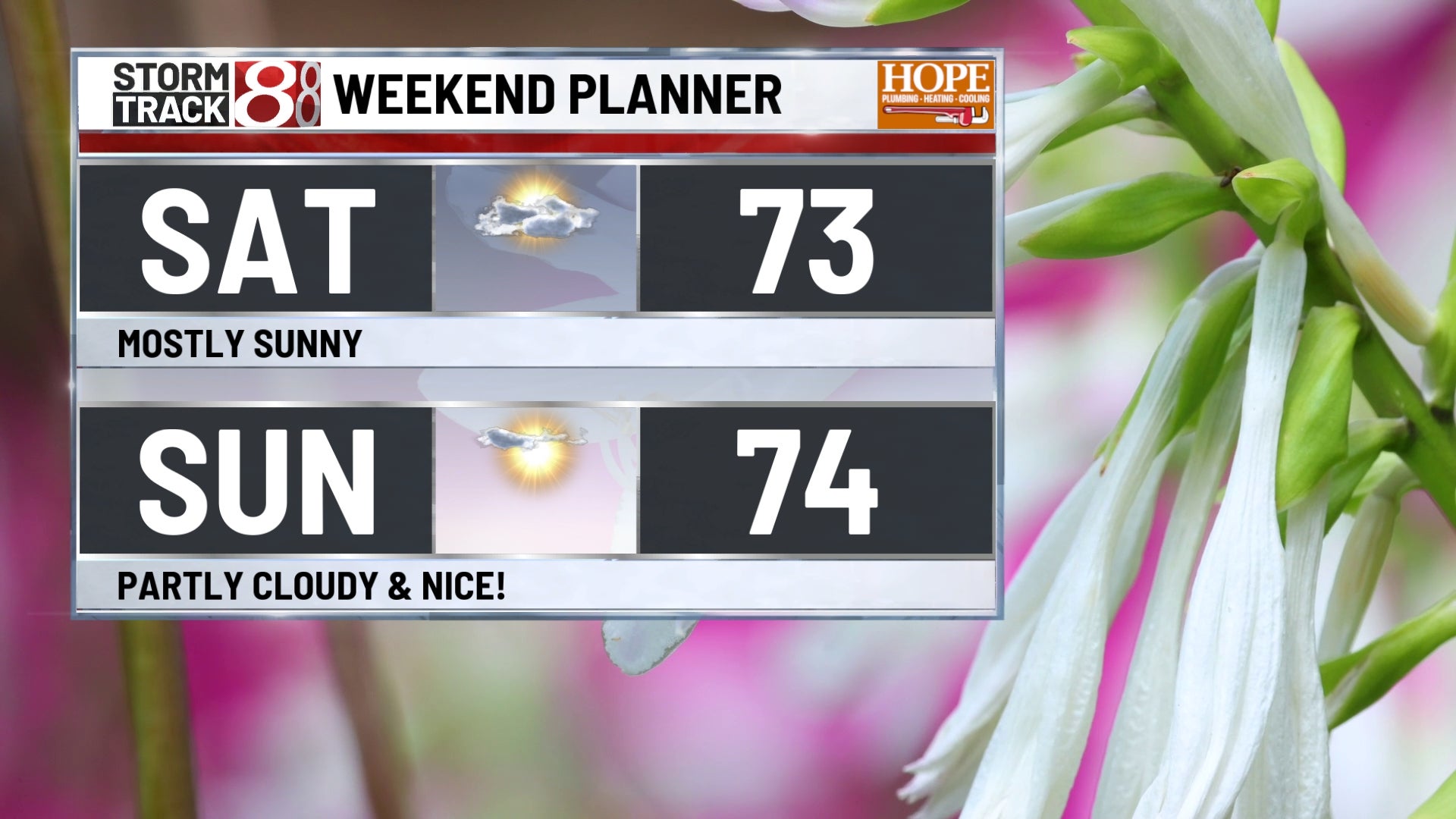
Saturday morning could start with dense fog in some areas.
Once the fog burns off, expect a lot more sunshine compared to previous days. Highs will climb into the mid-70s.
Sunday:
Sunday brings more of the same. Watch for patchy fog again Sunday morning as clear skies and calm winds set up overnight Saturday.
Sunday afternoon looks fantastic with mostly sunny skies and highs in the mid to upper 70s.
7 day forecast:
We’re now expecting a much weaker wave Tuesday night. Cloud cover and rain chances will increase, but the threat of strong thunderstorms has dropped a bit.
Some uncertainty in regardds to the remnants of Hurricane Polo, which is currently spinning off the southern Mexico coast. Some models hint that some of that moisture could head our way late week – but not all are on the same page. Some worth watching next week.
For now, expect highs to stay in the upper 70s to near 80 degrees early next week with increasing humidity Tuesday and Wednesday.