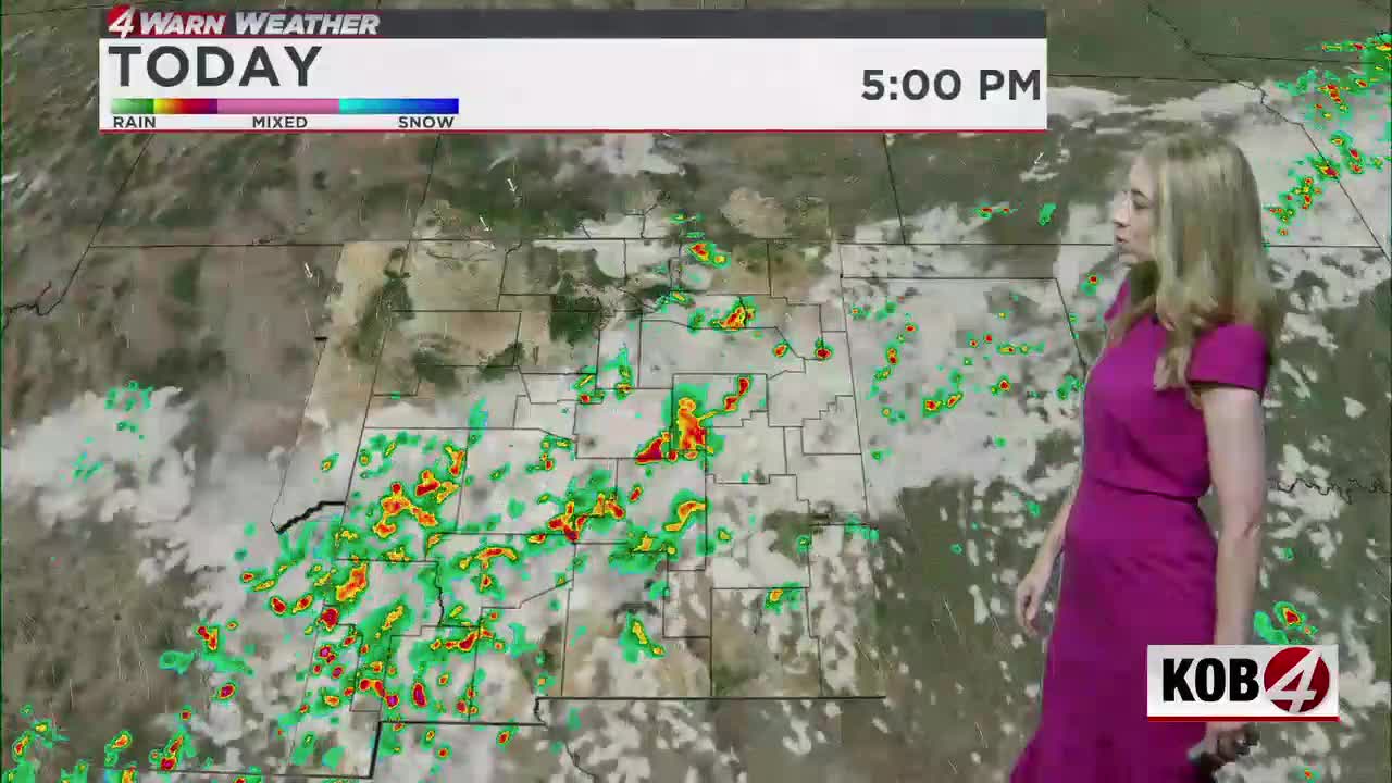
Some storms may pop up across New Mexico for Wednesday. See the latest at KOB.com/Weather.
ALBUQUERQUE, N.M. — As temperatures reach their convective mark, showers and storms are forecast to once again fire off in New Mexico.
Early Wednesday afternoon action will focus on the high terrain. It will slowly drift to the south and east by late afternoon and into the evening. Stronger cells will be capable of producing heavy downpours, strong wind gusts and small hail.
We are not under an official severe threat, nor do we have any Flood Watches being issued for today… yet. Not everybody will get in on the storm action today but drier air will move into the northwest side of the state.
Tomorrow does bring a low-end severe threat. Most model guidance is pretty convinced some isolated cells firing off the eastern slopes of the Sangre de Cristo Mountains. It’s set to move slowly to the east-southeast through the afternoon and evening.
Most of New Mexico will also close out the week dry.
Meteorologist Amanda Goluszka shares all the details in her full forecast in the video above.
MORE:
- For Related Stories: Amanda Goluszka Weather Forecasts