INDIANAPOLIS (WISH) — Central Indiana will turn up the heat this week, with potentially dangerous heat index values climbing into the low 100s by Tuesday and Wednesday. Plan ahead now for the hottest weather so far this year.
Today
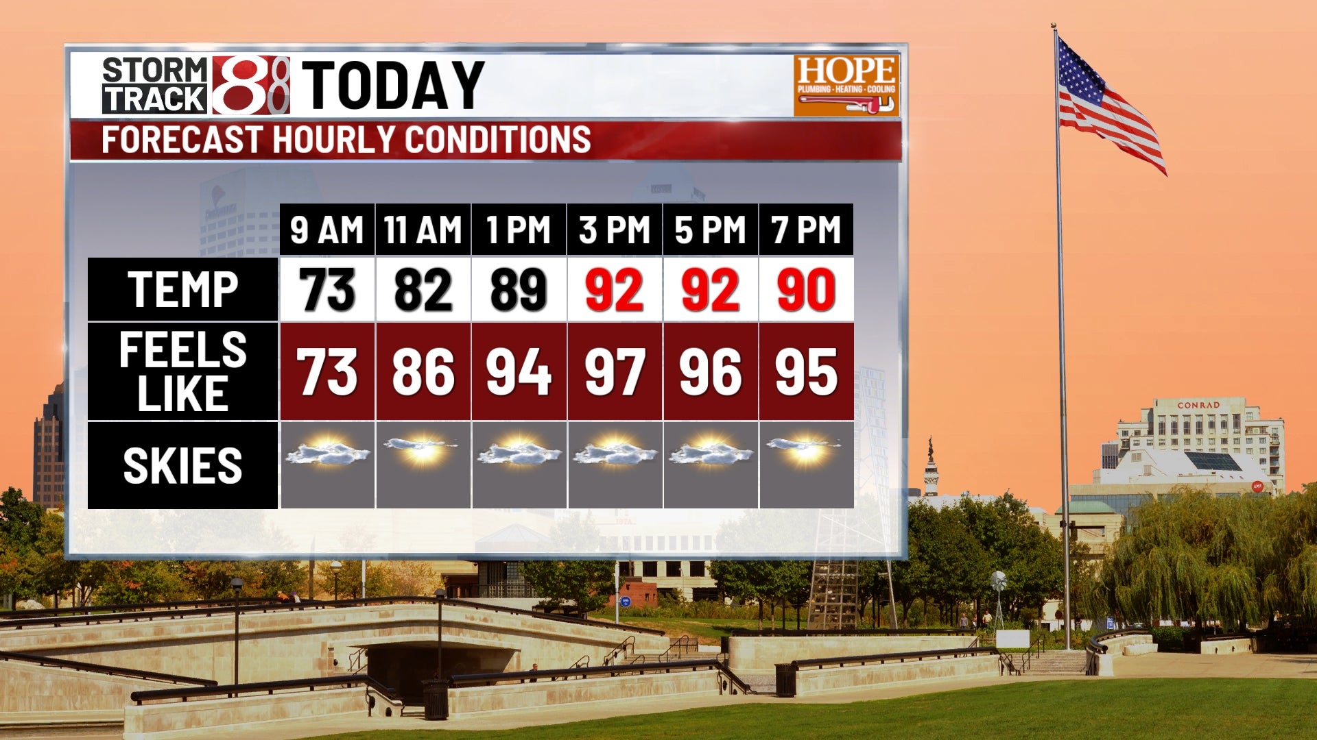
Patchy sprinkles are possible through late morning, but most areas will stay dry. Expect partly sunny skies with high temperatures around 90. Humidity is elevated today, but not sky-high, which will put our “feels like” temps in the mid 90s this afternoon.
Tonight
Expect mostly clear skies and stuff temperatures, with lows only falling to the mid 70s.
Tuesday
The heat cranks up as high temperatures climb into the mid-90s. Higher humidity will make conditions feel miserable; heat index values could reach the low 100s during the afternoon hours.
Wednesday
Another hot day is in store. Expect highs in the mid-90s with heat index values again threatening the low 100s. This marks the peak of the heat wave for central Indiana.
Thursday
A weak front approaches, bringing relief in the form of scattered thunderstorms. Storms will be possible throughout the day as hot, humid, and unstable air remains in place. Highs will still reach the low 90s before any storms arrive.
Friday
Scattered thunderstorm chances continue as the frontal boundary lingers nearby. Temperatures remain warm in the upper 80s to low 90s with elevated humidity.
Weekend Outlook
Saturday: Scattered thunderstorms are possible, especially Saturday night. Highs will be near 90.
Sunday: Uncertainty remains in the forecast, but a strong upper-level ridge suggests another round of hot weather could build back in. Storm chances decrease but cannot be ruled out entirely.