Costa Rica’s seismologists now have a name for what shook the Central Valley awake yesterday, and it comes with a history. The National Seismological Network at the University of Costa Rica has linked yesterday’s earthquakes near Coronado to the Río Sucio fault system. The network calls the connection preliminary, but it rests on two pieces of evidence pointing the same way — the quakes and their aftershocks cluster tightly along where the fault runs, and the direction the ground moved matches how this fault is known to behave.
A fault is a fracture in the earth’s crust where two blocks of rock grind past one another. When they lock, strain builds. When they slip, the ground shakes. This one is not a surprise to scientists. Researchers at the university’s Central American School of Geology identified it back in the 1990s using satellite imagery, fieldwork and records of past quakes in the area. The system runs about 30 kilometers, roughly 19 miles, and the rock on either side slides sideways past itself rather than one block dropping below the other.
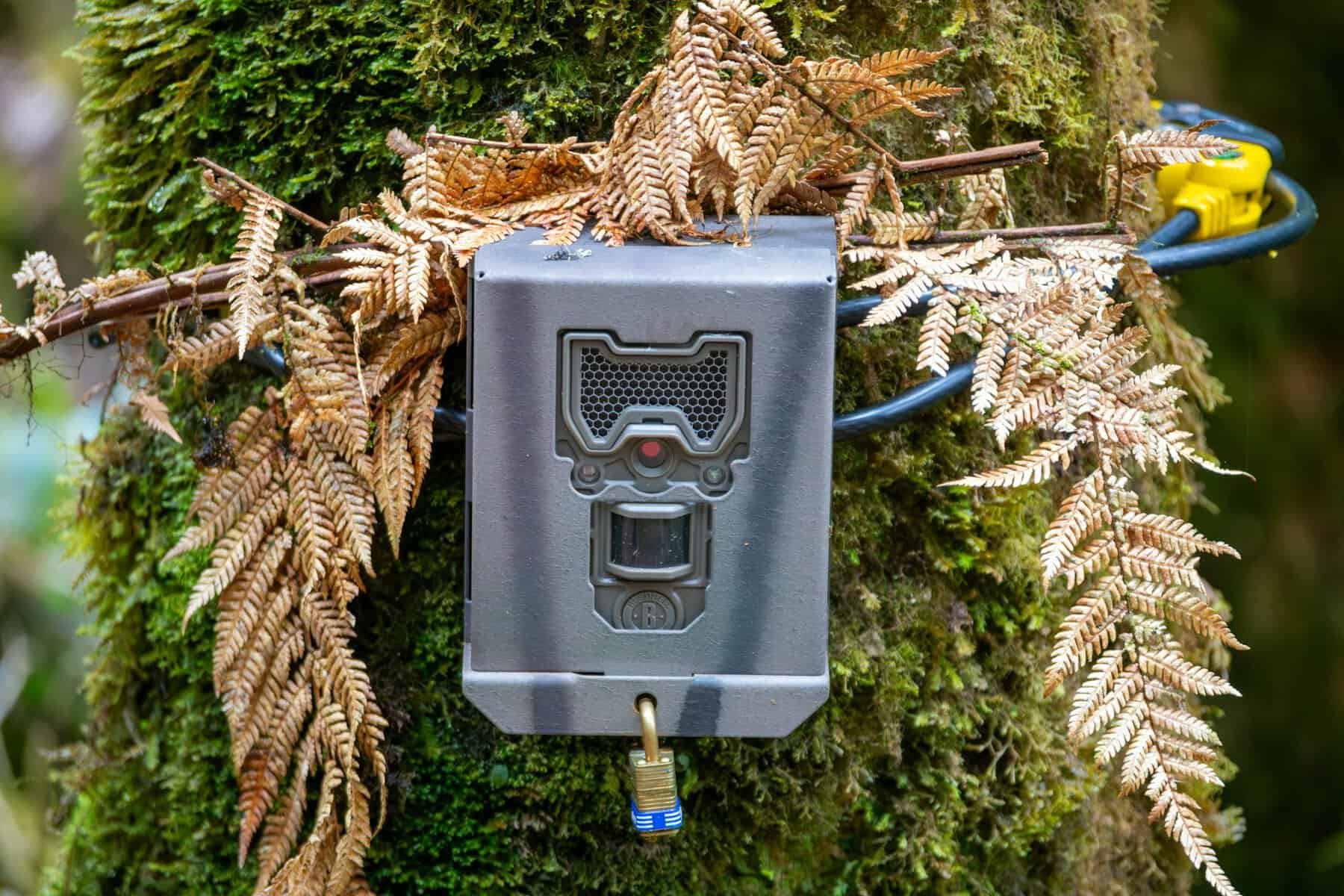
That sideways motion explains something thousands of people noticed. Security cameras across the valley captured buildings, lamps and hanging signs swaying side to side rather than jolting straight up. That is what this kind of fault does. The track record is the part worth paying attention to.
The network ties three earlier earthquakes to the same system. The most serious was the Patillos earthquake of December 30, 1952, a magnitude 5.9 that killed 21 people according to historical records. More recently there was Capellades on November 30, 2016, a magnitude 5.5. And in August 2023, a magnitude 4.4 struck with several smaller quakes just north of where Monday’s sequence unfolded.
Seismologist Lepolt Linkimer of the university network has said assessments of the fault put its potential at above magnitude 6. The National University’s Volcanological and Seismological Observatory is not ready to name a single culprit. Its position is that the area sits inside a broader zone containing several faults, and that more than one may have been involved.
“It is a series of faults, not just the seismic zone as such,” said observatory seismologist José María Sequeira. Work continues, he said, to establish which structure was directly involved, and whether one fault moved or several. Sequeira named Alto Grande, Río Patria, Lara, Río Sucio and La Hondura among the faults in that zone, most of them taking their names from the rivers running above them.
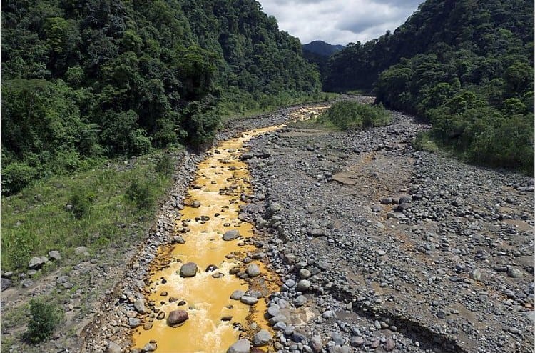
The zone stretches across the ground between the Turrialba and Barva volcanoes, passing Irazú, and belongs to a wider band of fractured crust reaching from the Limón lowlands to the Pacific side. Finding exactly where these faults run is harder than it sounds. Most are buried under soil with no visible crack at the surface, so geologists read the landscape for clues. The Río Sucio is one of the clearer cases — the river cuts an unusually straight line, and the small quakes cluster along it.
Mapping each aftershock sharpens that picture, showing where the movement concentrates both across the surface and at depth. The aftershocks kept coming all day. The National University’s observatory counted 80 between 1:39 a.m. and 6 p.m. Monday, an average of one roughly every 12 minutes. The university network logged 23 in a narrower window, counting only those at magnitude 2.2 or above — the same kind of methodological gap that produced the differing magnitude figures reported on Monday.
The university network recorded shaking intensity across the central region at levels five to six on a twelve-point scale, meaning it was felt clearly indoors, rattled objects and, at the upper end, moved furniture. Damage stayed limited to a garden wall in Coronado, a downed power pole in Moravia and rockfall that briefly closed Route 32.
No deaths or injuries were reported and both institutions expect the aftershocks to continue for hours and days yet, tapering off in frequency as sequences like this normally do. The university network says it will keep watching and update as new data arrives. None of this is unusual ground for Costa Rica as it sits where tectonic plates collide offshore and is threaded with active faults inland, which is why permanent monitoring exists at all. What changed this week is that one of those faults stopped being an abstraction on a map.
The post Scientists Name the Fault Behind Costa Rica’s Coronado Earthquakes appeared first on The Tico Times | Costa Rica News | Travel | Real Estate.