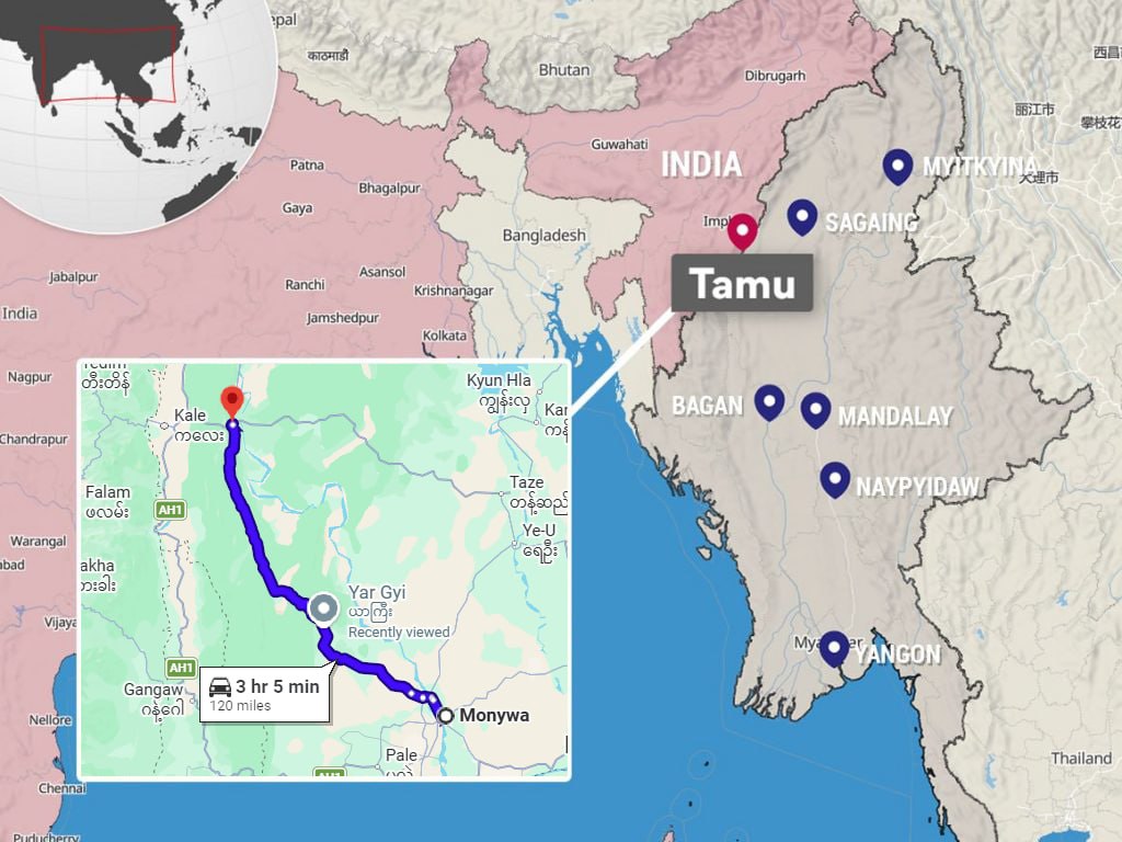
Regime forces are pressing forward with a counteroffensive to secure the 120-mile (193 km) Kalewa–Monywa highway in Sagaing Region, following its recapture of key strongholds along the adjacent Kalay–Tamu highway on July 31.
Contested control over strategic trade corridors
While regime authorities claimed to have regained full control of the Kalewa–Monywa highway on July 7, the People’s Defence Force (PDF) has dismissed the assertion as “propaganda.”
Resistance forces report that active combat continues across Mingin Township, with the PDF retaining control over substantial portions of the corridor.
Military air supply drives and resistance counter-tactics
To sustain ground units operating in northwestern Sagaing, regime forces have established an ongoing airlift operation using military transport aircraft flying out of Mandalay Region’s Tada-U Airport to resupply troops and deliver rations directly to Kalay Township, located 144 miles (231 km) northwest of Monywa.
Geopolitical context of the IMTT Highway
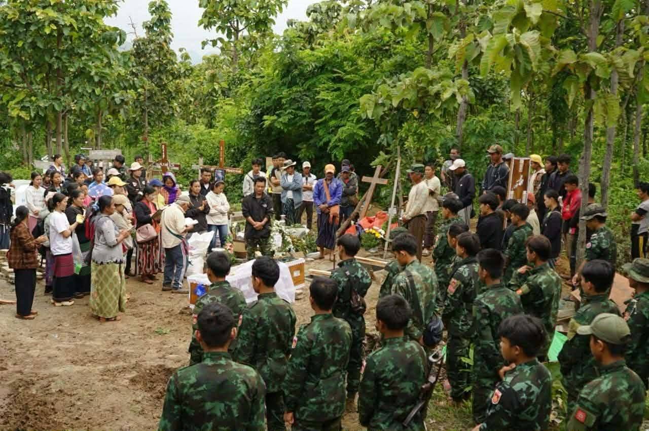
The military counteroffensive launched in June has displaced tens of thousands of civilians from more than 50 villages bordering the Kalay–Tamu route.
Both the Kalay–Tamu and Kalewa–Monywa corridors are critical segments of the India–Myanmar–Thailand Trilateral (IMTT) Highway. The 870-mile (1,400 km) international transit network is designed to link Moreh in India’s Manipur State directly to Mae Sot, Thailand, via central Myanmar.
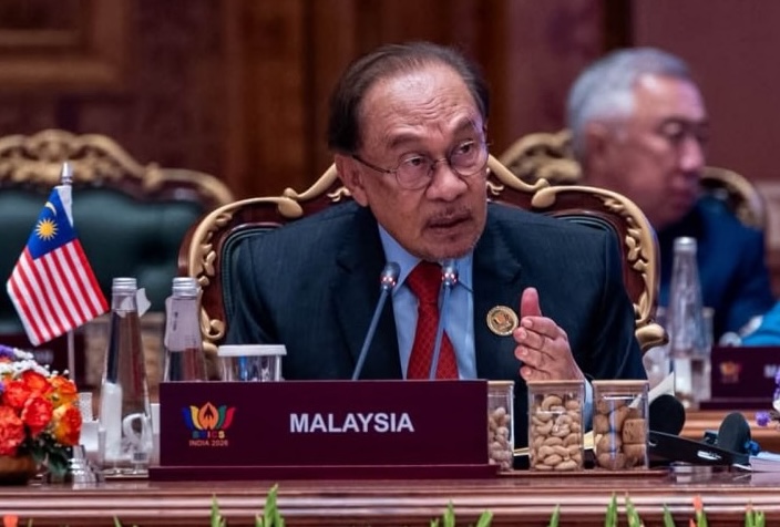
Security disruptions along the IMTT highway were a central topic during a bilateral meeting in New Delhi on June 1, between regime leader Min Aung Hlaing and Indian Prime Minister Narendra Modi.
The PDF has vowed to prevent full regime control over the highway system, emphasizing that restricting regime movement along the border is vital to preserving opposition supply lines into neighbouring Chin State.