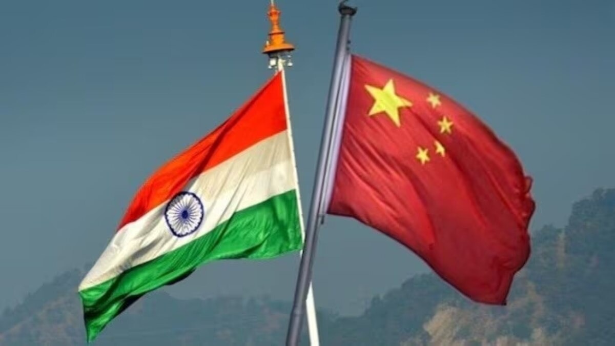
India has updated its official map of Arunachal Pradesh, giving greater prominence to strategically significant passes, lakes, settlements and a war memorial along the frontier with China, including several locations associated with the 1962 India-China war.
The move comes at a significant time, with India preparing to host the BRICS Summit in New Delhi on September 12-13 and Chinese President Xi Jinping expected to attend.
The cartographic update assumes significance because the India-China boundary remains disputed even as bilateral ties enter a phase of cautious stabilisation. The revised map gives greater visibility to locations carrying both strategic and historical importance, including areas around Tawang and sites linked to the 1962 conflict.
WHY UPDATE THE MAP NOW?
Along a contested frontier, maps are more than geographical documents. The identification and standardisation of settlements, passes and other geographical features can reinforce a country’s official territorial and administrative position.
The move also comes against the backdrop of China’s continuing claims over Arunachal Pradesh, which Beijing refers to as “Zangnan” or “South Tibet”. Recent developments in Arunachal’s Taksing sector have also renewed attention on Chinese claims in the region.
India has consistently rejected Beijing’s claims and maintained that Arunachal Pradesh is an integral part of the country.
The map update, therefore, does not signal any change in India’s territorial position. Rather, it formalises and gives greater visibility to India’s existing position at a time when New Delhi and Beijing are attempting to stabilise relations without resolving their fundamental boundary dispute.
FROM 1962 FLASHPOINTS TO TODAY’S BORDER
Several locations highlighted on the map are closely linked to the 1962 war, particularly in and around Tawang.
Their relevance, however, is not merely historical. The eastern sector remains one of the most sensitive parts of the India-China boundary and continues to be central to Beijing’s territorial claims over Arunachal Pradesh.
The government says the update is aimed at ensuring accurate recognition of these locations and improving public awareness.
The choice of features is nevertheless significant, particularly because several are directly connected to India’s border history and military engagements with China.
WHAT EXACTLY HAS CHANGED?
The government has added or formally identified 27 locations and geographical features.
Four mountain passes have been included: Dzo La, Riza La, Pukur La and Thag La.
The inclusion of Thag La is particularly significant because of its association with the opening phase of the 1962 India-China war and its location in a strategically sensitive part of the eastern sector.
The map also identifies Sambho Sarovar, a high-altitude lake, by its standard Indian name.
Another 21 geographical entries have been added: Longju, Maja, Bisa, Bara Kundun, Chhota Kundun, Dhan Bari, Pritnagar, Buddhamandir, Jairampur, Teritnagar, Ramnagar, Jaswant Garh, Sagar, Padma, Jyotinagar, Baisakhi, Chhota Ropuk, Bara Ropuk, Shivaji Nagar, Sunpura and Kamlang Nagar.
The Sher-e-Thapa Memorial has also been formally marked, taking the total number of additions to 27. The memorial commemorates Havildar Sher-e-Thapa and his role in India’s resistance during the 1962 war.
WHY SOME OF THESE LOCATIONS MATTER
Longju lies along the Line of Actual Control and is associated with one of the earliest India-China border confrontations, in 1959.
Thag La carries even greater military significance because of its role in the opening phase of the 1962 conflict.
Jairampur, meanwhile, is strategically important because of its connectivity towards eastern Arunachal Pradesh and the Myanmar frontier.
Jaswant Garh and the Sher-e-Thapa Memorial are closely tied to the memory of the 1962 war.
Many of these locations had already appeared on Indian military maps but have now been formally represented on the government’s political map.
COUNTERING CHINA’S RENAMING STRATEGY
The update also comes against China’s repeated attempts to rename places in Arunachal Pradesh.
Beijing has released successive lists of what it calls standardised Chinese names for locations in the state, including six in 2017, 15 in 2021 and another 11 in 2023.
India has consistently rejected the exercise, maintaining that assigning new names cannot alter the fact that Arunachal Pradesh is an integral part of India.
The latest map update can therefore also be read as a cartographic counter to Beijing’s renaming strategy, with New Delhi formally recording Indian names for locations it regards as part of its territory.
Crucially, the exercise does not redraw India’s boundaries. It standardises and formally incorporates specific places and geographical features within India’s existing official map.
UPDATE COMES AMID BORDER TALKS
The development comes just days after India and China held the 36th meeting of the Working Mechanism for Consultation and Coordination on India-China Border Affairs in New Delhi.
At the August 6 meeting, the two sides reviewed the border situation and discussed boundary delimitation, border management and trans-border cooperation. They also stressed the importance of maintaining peace and tranquillity along the LAC as a prerequisite for improving the broader relationship.
According to sources, National Security Adviser Ajit Doval could also travel to China for Special Representatives-level talks ahead of Xi Jinping’s likely India visit.
The developments point to a calibrated Indian approach: keep the LAC stable and diplomatic channels open while continuing to reinforce New Delhi’s territorial position.
WHY XI’S BRICS SUMMIT VISIT MATTERS
If Xi travels to New Delhi for the BRICS Summit on September 12-13, it would be his first visit to India since October 2019.
His participation would provide Prime Minister Narendra Modi and Xi with an opportunity for bilateral engagement after years of friction following the 2020 eastern Ladakh crisis.
The BRICS Summit could therefore provide the setting for two parallel conversations.
At the multilateral level, India will seek to project BRICS as an important platform for emerging economies and the Global South.
At the bilateral level, the unresolved boundary dispute and efforts to maintain stability along the LAC will remain an unavoidable backdrop to any Modi-Xi engagement.
India’s BRICS 2026 presidency emphasises resilience, innovation, cooperation and sustainability. For two of the grouping’s largest members, however, the more immediate test will be whether improving diplomatic engagement can coexist with an unresolved border dispute.
– Ends
Published By:
Aprameya Rao
Published On:
Aug 9, 2026 13:21 IST