MANILA, Philippines – The Philippines has formally deposited with the United Nations its official nautical chart of Bajo de Masinloc (Panatag / Scarborough Shoal) and its surrounding maritime zones, putting Manila’s claimed maritime limits around the disputed feature on international record amid continued Chinese control of the area.
The chart was deposited with the UN Secretariat on Wednesday, according to the Department of Foreign Affairs (DFA).
The DFA said on Friday that the move was made under Article 16 of the 1982 United Nations Convention on the Law of the Sea (Unclos), which requires coastal states to give due publicity to official charts or geographical coordinates showing the baselines from which the breadth of their territorial seas is measured.
Article continues after this advertisement
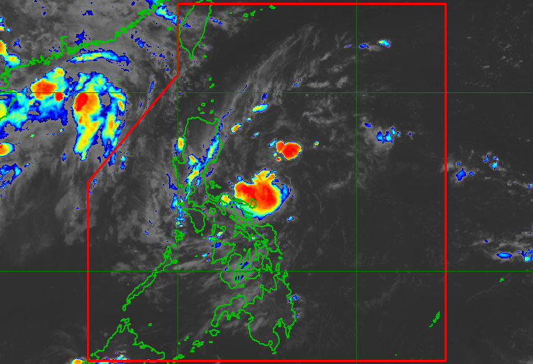
Panatag Shoal, also known as Bajo de Masinloc, lies about 220 kilometers west of Zambales.
It has remained under Chinese control since a standoff between Philippine and Chinese vessels in 2012.
By placing the chart with the UN secretary-general, the Philippines said its official maritime information would form part of the public international record.
Philippine Ambassador and Permanent Representative to the UN Enrique Manalo formally presented National Mapping and Resource Information Authority (Namria) Chart No. 1567, titled “Bajo de Masinloc and Approach,” to Alice Hicuburundi, deputy director of the UN Division for Ocean Affairs and the Law of the Sea.
Manalo was joined by Namria Administrator Peter Tiangco and officials and legal experts from the DFA, Department of Justice, Office of the Solicitor General, Namria and the University of the Philippines.
Article continues after this advertisement
The chart was prepared by Namria using internationally recognized hydrographic and geodetic standards.
It shows the normal baselines of Panatag Shoal, as well as the outer limits of its territorial sea and contiguous zone, based on Unclos and Philippine law.
Article continues after this advertisement
Under the Philippine Maritime Zones Act, the feature generates a territorial sea extending up to 22 kilometers from its normal baselines and a contiguous zone extending from 22 to 44 kilometers, the government said.
In 2016, an arbitral tribunal in The Hague ruled that the high-tide features at Panatag Shoal are rocks under Article 121(3) of Unclos and therefore do not generate an exclusive economic zone or continental shelf. The shoal generates a territorial sea, the tribunal said.
The tribunal did not rule on sovereignty over the shoal. It also found that Panatag Shoal had long been a traditional fishing ground for fishermen from the Philippines, China and other countries, and that China had unlawfully prevented Filipino fishermen from exercising their traditional fishing rights there after May 2012.
China has rejected the 2016 arbitral ruling and continues to claim Panatag Shoal as its territory.
The Philippine government said the UN deposit formally notifies the international community of its normal baselines and the geographic extent of its applicable authority and jurisdiction around Panatag Shoal.
It said the move would also improve transparency and provide a permanent public record of the country’s official hydrographic information.
The deposit also has significance amid climate change and sea-level rise, the government said, as coastlines and marine environments change over time.
“By depositing the chart, the Philippines formally notifies the international community of its normal baselines and the geographic extent of its applicable authority and jurisdiction at Bajo de Masinloc,” the government said.
The Philippines said it would continue to uphold international law and the peaceful settlement of disputes. /gsg
Your subscription could not be saved. Please try again.
Your subscription has been successful.