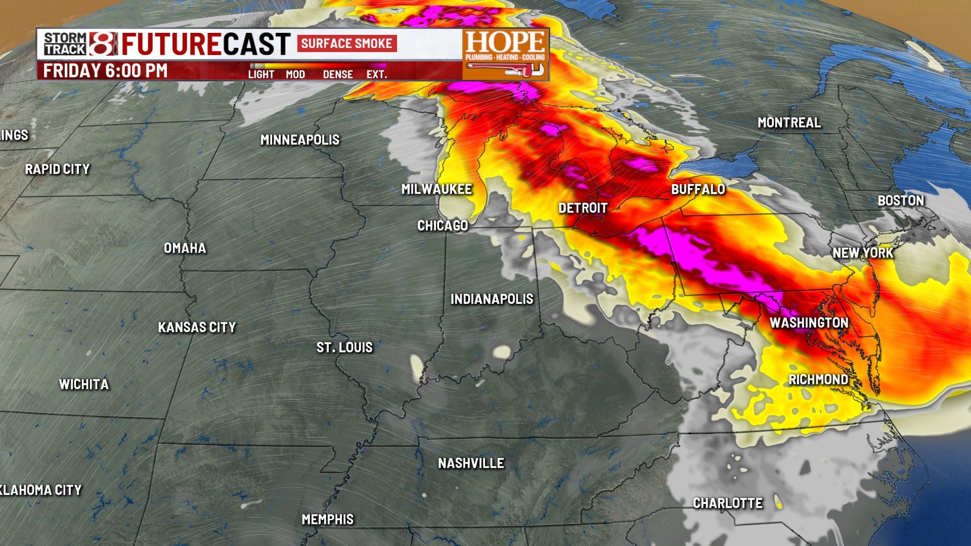
INDIANAPOLIS (WISH) — Smokey air will hover around this morning, followed by storm chances this afternoon.
Today: Storms and Wildfire Smoke
A weather disturbance moving through a hot, humid air mass will bring scattered showers and thunderstorms this afternoon. Although widespread severe weather is unlikely, some stronger storms may produce damaging wind gusts, especially across eastern parts of central Indiana.
Localized flooding is a risk where storms repeatedly pass over the same area—a phenomenon known as “training.” When multiple storm cells follow the same path, they can dump several inches of rain in a short period, overwhelming drainage systems and causing flash flooding.
Alongside the heat and storms, smoke from Canadian wildfires is expected to drift into northeastern Indiana today. This will temporarily reduce visibility and worsen air quality. Those with respiratory sensitivities should limit outdoor activity until the smoke clears tonight.
Saturday: Severe Storm Threat
A stronger weather system coupled with a cold front will move through Indiana Saturday, triggering another round of storms with increased severe weather potential.
Damaging wind gusts are the primary threat. While isolated large hail is possible during the early afternoon, the main concern is a line of storms expected to develop and push through central Indiana from mid-afternoon into the early overnight hours.
Sunday and Next Week: Temporary Break Before More Rain
Behind Saturday’s front, high pressure builds in Sunday, offering a brief break with somewhat drier air and a lower chance for storms.
Some uncertainty for early next week, but scattered rain chances remain during the first half of the week as additional disturbances move through the region.
More notably, mid- to late next week may bring a significant surge of cooler, drier air, providing much-needed relief from the persistent tropical humidity that has dominated our weather pattern for the past week.