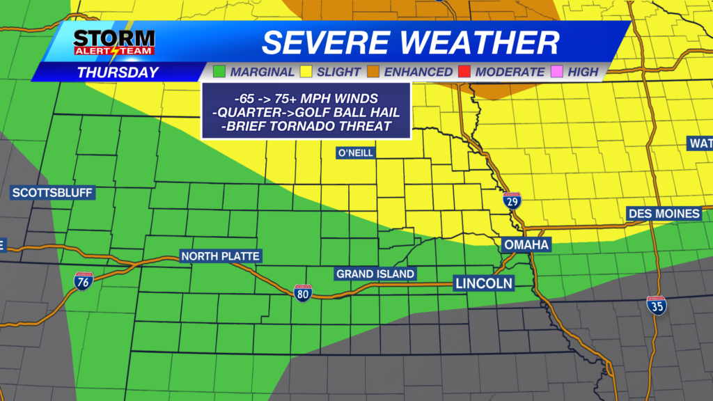
Main concerns with storms this afternoon/evening will be 65-75+mph winds, Quarter->golf ball hail & brief tornado threat. The STRONGEST storms could have winds up to 75+mph, hail up to golf balls, a brief spin up & heavy rain. *NE Nebraska best chance*
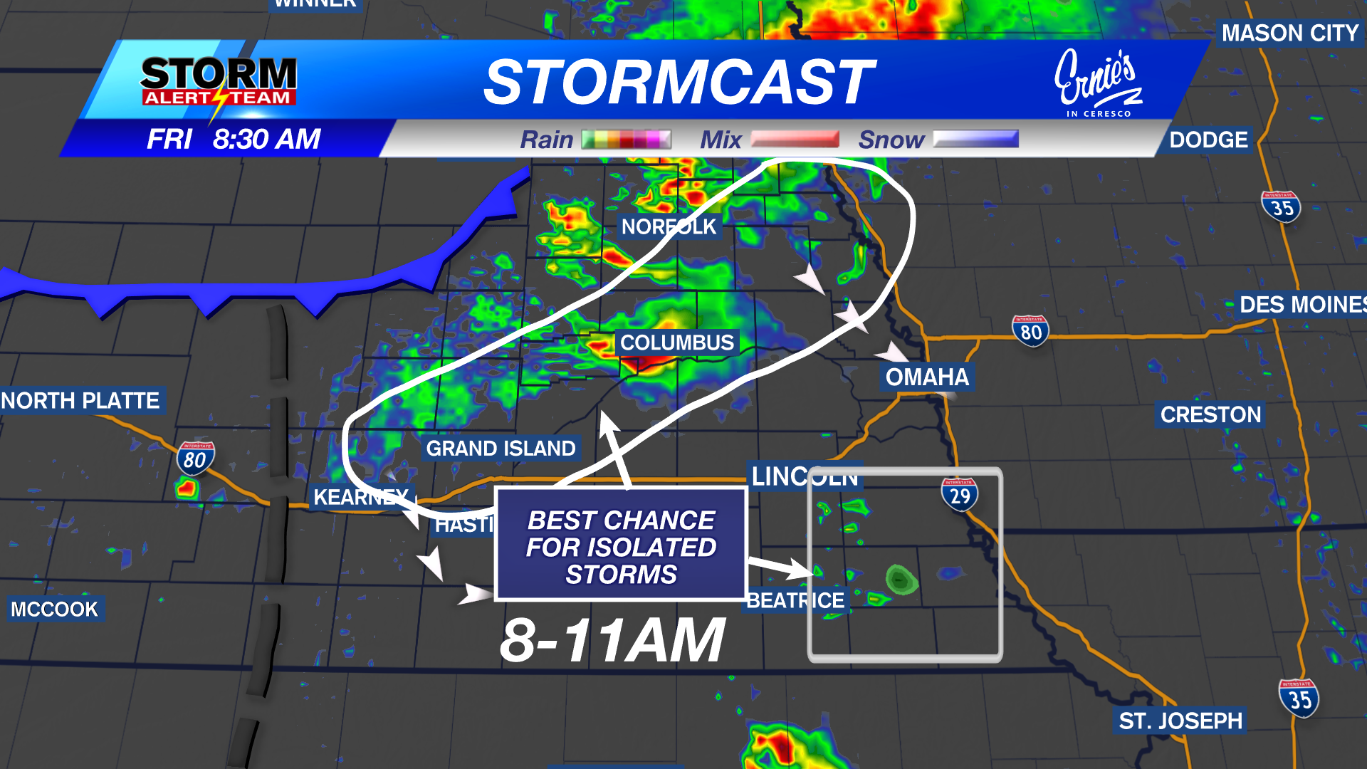
11-2pm: Isolated showers/T-storms will move east towards LNK & Omaha, carrying gusty winds up to 20-35+mph.
8-11pm: SW & north central Nebraska will start to see storms capable of STRONG winds, hail & a brief tornado.
FRI: 2-6AM: Some gusty winds could occur around the tri-cities & areas northeast due to storm weakening.
FRIDAY SEVERE WEATHER: JULY 3, 2026
CLOSE EYE on Friday afternoon & night! UNCERTAINTY remains due to the early rain/storms Friday across the state. Just know DAMAGING WINDS up to 75-85+ mph will be the main concern, with hail & a few brief tornadoes at the beginning of storms.
6-9pm Friday: Storms form north of I-80 with all hazards possible. An outflow boundary will be likely from Omaha to Lincoln at this time. Winds could reach 55-65+mph at this period.
10pm-2am: The PEAK DAMAGING WIND threat could move through Lincoln/Omaha late Friday. This is where gusts up to 75-85+ mph will be possible.
The system Friday night will limit storm chances for July 4th. Saturday evening could bring storms south of I-80, mainly SE Nebraska. Hot, Sunny and dry next week!
Meteorologist Houston Hall
Facebook: HHallWX
YouTube: HHallWX
Tags: #klkntv, Beatrice, channel 8 weather, extreme heat, forecast, Grand Island, hail, Hastings, heat advisory, High winds, lincoln, McCook, Nebraska, North Platte, Omaha, rain, severe weather, very humid, warm, weather, Wind