INDIANAPOLIS (WISH) — Central Indiana’s weather pattern turns much warmer and more active heading into the weekend and early next week.
Today
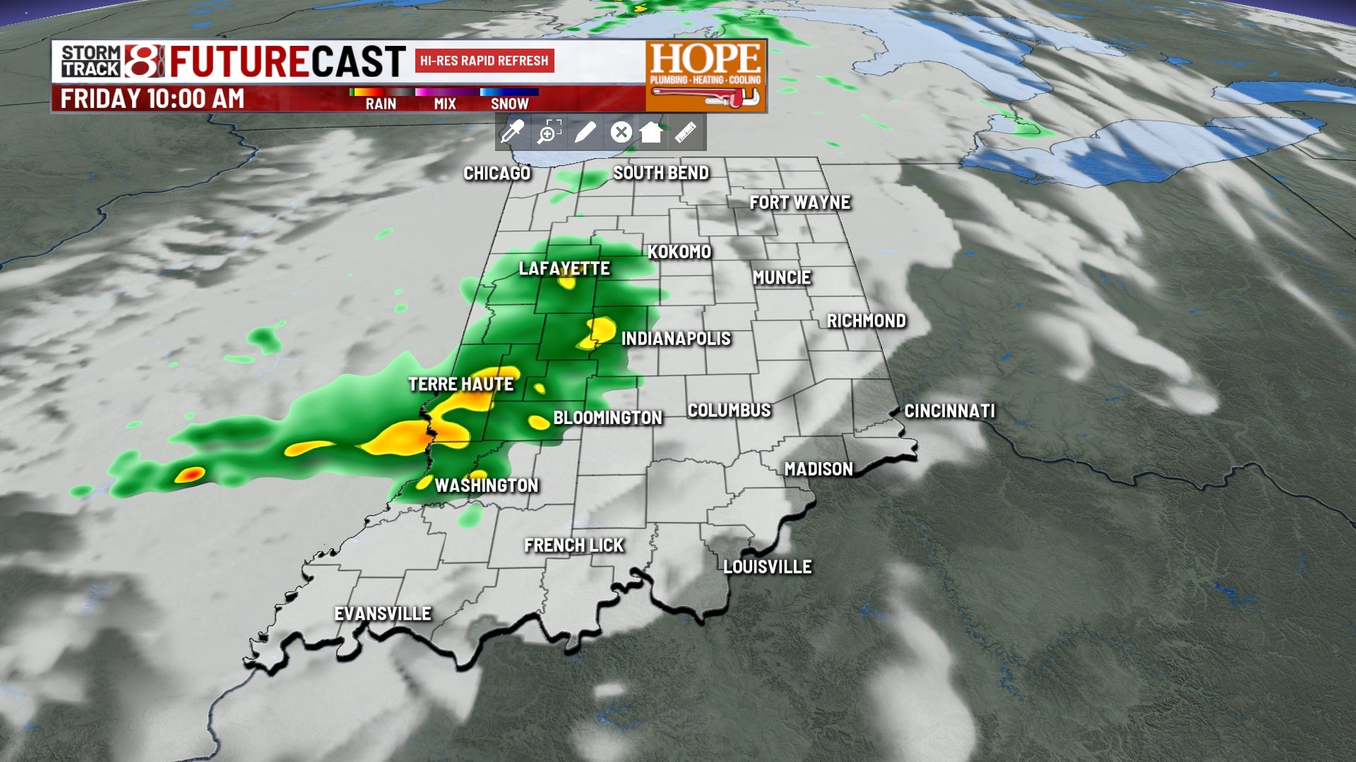
High pressure shifts to the east, and southerly winds will begin to bring gulf moisture into central Indiana. A weak upper-level disturbance will move through during the late morning to midday hours, sparking scattered showers and thunderstorms across the area. Rain chances should start to move out around or just after lunchtime.
High temperatures will top out in the lower 70s this afternoon.
Saturday
Scattered showers and thunderstorms will develop throughout the day. More humid conditions will develop as well.
It won’t rain all day. We will have several opportunities for showers and storms. We will also run the risk of some stronger thunderstorms, with damaging winds as the primary severe weather concern. Heavy rainfall will also be possible.
High temperatures will top out around 80°.
Sunday
A few early morning showers will be possible, but high pressure settling in should dry us out for the late morning and much of the afternoon. Temperatures will run hot, topping out in the mid and upper 80s across the area with high humidity.
Monday
The chance for stronger storms will increase heading into Monday and Tuesday. A series of storm complexes will ride into the area Monday afternoon, bringing scattered showers and thunderstorms. Damaging winds and large hail will be possible with these storms. High temperatures will top out in the upper 80s to around 90°.
Tuesday
More of the same is expected, with scattered showers and thunderstorms developing late in the afternoon and evening. Again, some of those storms could be strong to severe.
Midweek
Scattered showers and thunderstorms will wind down Wednesday morning as a cold front pushes through. This will allow cooler temperatures to settle back in for Wednesday and Thursday, with highs returning to the low to mid 70s.