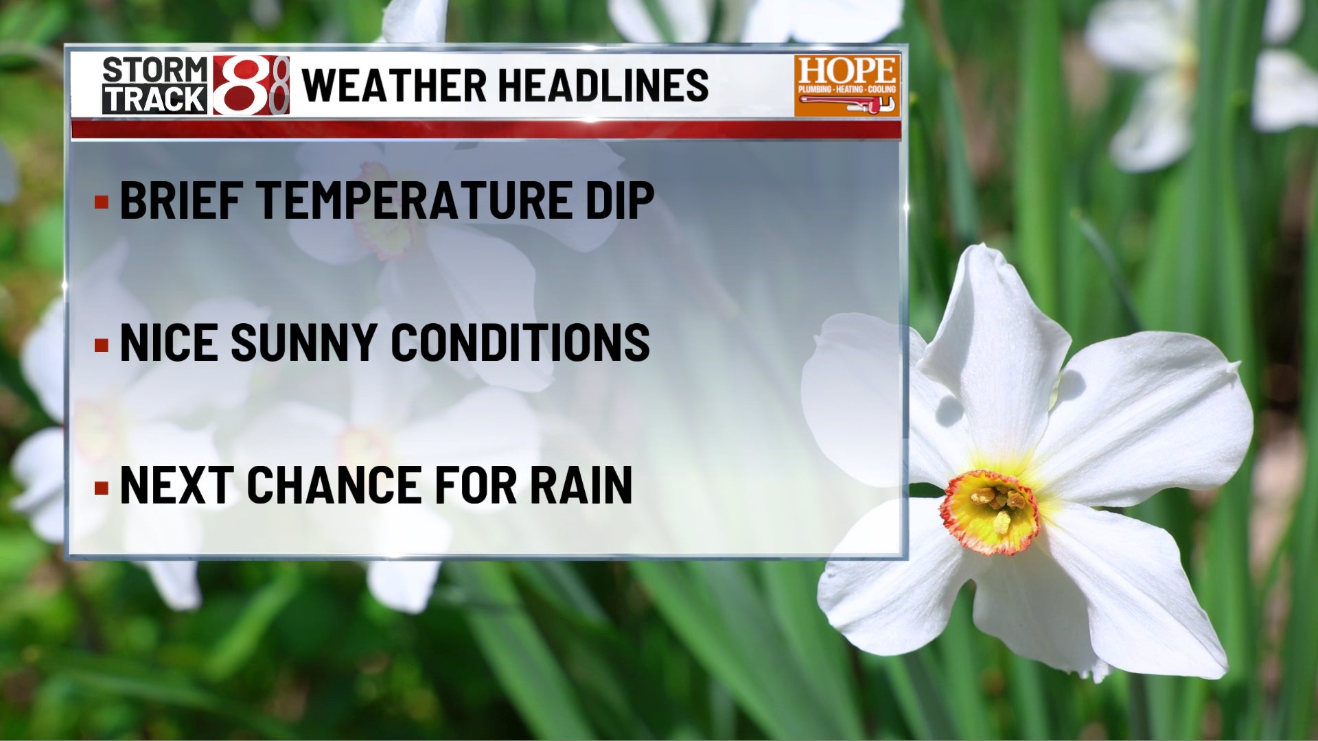
TODAY
The day does not start quietly, with showers and a few thunderstorms still around early, then the wetter side of the forecast gradually loses its grip as the morning rolls on. Even after the steadiest rain moves out, scattered showers may still pop up into the afternoon. Temperatures head the wrong direction for a while, settling back through the 50s by late day, and a west northwest wind around 10 to 15 mph with gusts up to 25 mph adds to that cooler feel. It is one of those Saturdays where the second half of the day looks better than the first, but the overall mood is still more jacket weather than true spring comfort.
TONIGHT
The atmosphere finally exhales. Clouds hang on for a bit early, then gradual clearing takes over overnight with lows in the upper 30s. West northwest wind around 5 to 10 mph with a few gusts near 20 mph early. After the active start to the day, this becomes a much easier night for plans, and by late evening you can feel the pattern settling down in a hurry.
TOMORROW
Sunday is cooler, but much calmer and easier to work with. Clouds increase through the day and highs reach around 60, with a southwest wind around 5 to 15 mph and gusts up to the mid 20s. It is the kind of spring day that still feels nice enough for errands, brunch, or getting outside a bit, just with more of a light jacket vibe than the warmth we had earlier this week.
TOMORROW NIGHT
A quiet, crisp night settles in with partly cloudy skies and lows in the mid 30s. Northwest wind around 5 to 10 mph becomes lighter late. This is the night where the cooler air really settles in, and by daybreak some colder spots north and outlying areas may be flirting with frost.
MONDAY
Monday looks bright and clean, but it starts with a chilly edge. Areas of frost are possible early, then sunshine takes over with highs in the upper 50s. North northeast wind around 5 mph. It is a pleasant recovery day overall, especially by afternoon, and it feels like the weather finally finds a more comfortable balance after the weekend wobble.
MONDAY NIGHT
Mostly clear and milder than the night before, with lows in the low to mid 40s. South southeast wind around 5 mph. No travel issues stand out here, and the air starts to soften again, which is a good signal that the warmer half of the forecast is coming into view.
TUESDAY
The spring rebound arrives in full. Mostly sunny skies help highs climb into the mid 70s, and a southwest wind around 10 to 15 mph with gusts up to the mid 20s adds a little extra energy to the afternoon. This is the best feeling day of the stretch ahead, with comfortable warmth, good visibility, and very little getting in the way of outdoor plans.
TUESDAY NIGHT
It stays unusually mild with a slight chance for a late shower or thunderstorm. Lows only fall into the upper 50s, with a southwest wind around 5 to 10 mph and a few gusts near 20 mph. Most of the night should be fine, but it is a reminder that the atmosphere is getting a little more active again.
7 DAY FORECAST
After the cooler, breezy reset this weekend, the pattern settles down and then warms up steadily through the first half of next week. Sunday and Monday feel much more seasonable, with frost possible early Monday in colder spots, then the rebound shows up fast with 70s returning Tuesday and Wednesday. The next low end rain and storm chances start creeping back in by late Tuesday and especially later Wednesday into Thursday, but for now the bigger picture is a much calmer stretch after today’s storms, followed by a very comfortable spring warmup.